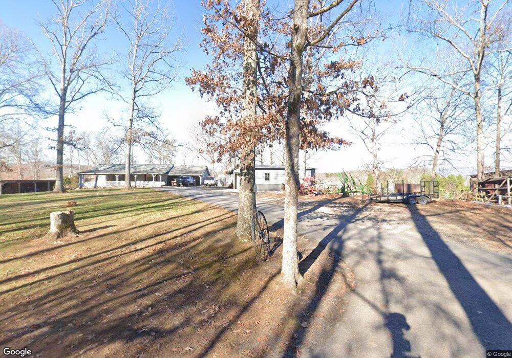
126 Wilson Rd Blairsville, GA 30512
Estimated Value: $461,000 - $582,267
3
Beds
2
Baths
1,864
Sq Ft
$271/Sq Ft
Est. Value
About This Home
This home is located at 126 Wilson Rd, Blairsville, GA 30512 and is currently estimated at $505,567, approximately $271 per square foot. 126 Wilson Rd is a home located in Union County with nearby schools including Union County Primary School, Union County Elementary School, and Union County Middle School.
Ownership History
Date
Name
Owned For
Owner Type
Purchase Details
Closed on
Jan 11, 2023
Sold by
Mcclure James Ray
Bought by
Mcclure Jacob Mack
Current Estimated Value
Purchase Details
Closed on
Jun 30, 2016
Sold by
Mcclure Jimmy
Bought by
Patton Michael R
Purchase Details
Closed on
Apr 6, 2007
Sold by
Patterson Green Inc
Bought by
Mcclure James R
Home Financials for this Owner
Home Financials are based on the most recent Mortgage that was taken out on this home.
Original Mortgage
$26,876
Interest Rate
6.1%
Mortgage Type
New Conventional
Create a Home Valuation Report for This Property
The Home Valuation Report is an in-depth analysis detailing your home's value as well as a comparison with similar homes in the area
Home Values in the Area
Average Home Value in this Area
Purchase History
| Date | Buyer | Sale Price | Title Company |
|---|---|---|---|
| Mcclure Jacob Mack | -- | -- | |
| Patton Michael R | $150,000 | -- | |
| Mcclure James R | $35,900 | -- |
Source: Public Records
Mortgage History
| Date | Status | Borrower | Loan Amount |
|---|---|---|---|
| Previous Owner | Mcclure James R | $26,876 |
Source: Public Records
Tax History Compared to Growth
Tax History
| Year | Tax Paid | Tax Assessment Tax Assessment Total Assessment is a certain percentage of the fair market value that is determined by local assessors to be the total taxable value of land and additions on the property. | Land | Improvement |
|---|---|---|---|---|
| 2024 | $2,441 | $208,748 | $53,280 | $155,468 |
| 2023 | $2,826 | $214,272 | $57,720 | $156,552 |
| 2022 | $2,185 | $166,120 | $53,440 | $112,680 |
| 2021 | $2,119 | $136,436 | $40,800 | $95,636 |
| 2020 | $2,017 | $108,633 | $34,319 | $74,314 |
| 2019 | $1,907 | $108,633 | $34,319 | $74,314 |
| 2018 | $1,908 | $108,633 | $34,319 | $74,314 |
| 2017 | $1,873 | $108,633 | $34,319 | $74,314 |
Source: Public Records
Map
Nearby Homes
- 77 Chestatee Dr
- 19 My Own Rd
- 92 Porch View Cir Unit LOT 95
- 1 Rachel Rd
- 140 Porch View Cir
- 140 Porch View Cir Unit 89
- 101 Porch View Cir
- 161 Butterfly Ln
- 516 Crawford Rd
- 168 Misty Valley Rd Unit LOT 115
- 16 Circle Back Ln
- 384 Mountain Creek Rd Unit LOT 169
- 477 Mountain Creek Rd
- 340 Mountain Creek Rd
- Lot 33 Burnette Rd N
- LT 39 Burnette Rd N
- LOT 40 Burnette Rd N
- Lt39 Burnette Rd N
- Lt 40 Burnette Rd N
- Lot 15 Burnette Rd N
- 111 Wilson Rd
- 171 Wilson Rd
- 47 Brown Rd
- 681 Kiutuestia Creek Rd
- 389 Kathrine Rd
- 645 Kiutuestia Creek Rd
- 286 Wilson Rd
- 168 Brown Rd
- 139 Brown Rd
- 422 Kelley Rd
- 694 Kiutuestia Creek Rd
- 593 Kiutuestia Creek Rd
- 37 Brown Rd
- 294 Kelley Rd
- 806 Kiutuestia Creek Rd
- 335 Kelley Rd
- 2968 Kings Rd
- 947 Kiutuestia Creek Rd
- 362 Wilson Rd
- 143 Helton Farm Dr