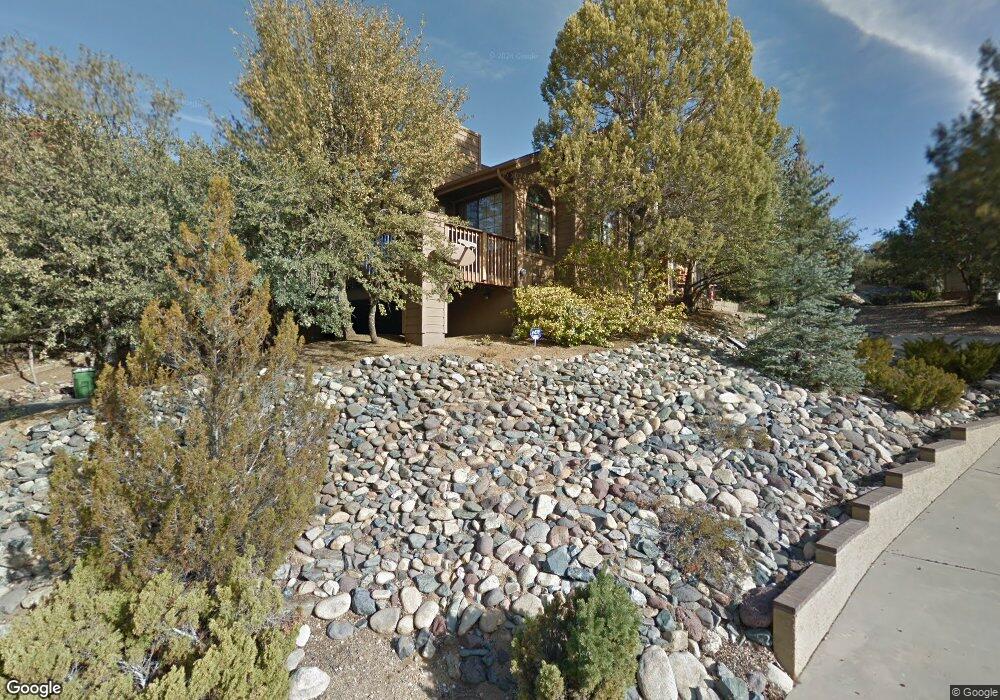
1260 Coyote Rd Prescott, AZ 86303
Hidden Valley Ranch NeighborhoodEstimated Value: $739,482 - $900,000
3
Beds
3
Baths
2,493
Sq Ft
$323/Sq Ft
Est. Value
About This Home
This home is located at 1260 Coyote Rd, Prescott, AZ 86303 and is currently estimated at $806,371, approximately $323 per square foot. 1260 Coyote Rd is a home located in Yavapai County with nearby schools including Lincoln Elementary School, Granite Mountain Middle School, and Prescott Mile High Middle School.
Ownership History
Date
Name
Owned For
Owner Type
Purchase Details
Closed on
Feb 4, 2021
Sold by
Ackley Rance J and Ackley Bonnie Kay
Bought by
Ackley Rance J and Ackley Bonnie Kay
Current Estimated Value
Purchase Details
Closed on
Jun 15, 2001
Sold by
Zemla Jerome F and Zemla Patricia A
Bought by
Ackley Rance J and Ackley Bonnie Kay
Home Financials for this Owner
Home Financials are based on the most recent Mortgage that was taken out on this home.
Original Mortgage
$173,000
Interest Rate
7.21%
Mortgage Type
New Conventional
Create a Home Valuation Report for This Property
The Home Valuation Report is an in-depth analysis detailing your home's value as well as a comparison with similar homes in the area
Home Values in the Area
Average Home Value in this Area
Purchase History
| Date | Buyer | Sale Price | Title Company |
|---|---|---|---|
| Ackley Rance J | -- | None Available | |
| Ackley Rance J | $273,000 | Capital Title Agency Inc |
Source: Public Records
Mortgage History
| Date | Status | Borrower | Loan Amount |
|---|---|---|---|
| Previous Owner | Ackley Rance J | $173,000 |
Source: Public Records
Tax History Compared to Growth
Tax History
| Year | Tax Paid | Tax Assessment Tax Assessment Total Assessment is a certain percentage of the fair market value that is determined by local assessors to be the total taxable value of land and additions on the property. | Land | Improvement |
|---|---|---|---|---|
| 2026 | $1,992 | $65,304 | -- | -- |
| 2024 | $1,950 | $66,552 | -- | -- |
| 2023 | $1,950 | $53,967 | $6,526 | $47,441 |
| 2022 | $1,923 | $44,825 | $6,327 | $38,498 |
| 2021 | $2,064 | $44,902 | $5,520 | $39,382 |
| 2020 | $2,073 | $0 | $0 | $0 |
| 2019 | $2,058 | $0 | $0 | $0 |
| 2018 | $1,966 | $0 | $0 | $0 |
| 2017 | $1,895 | $0 | $0 | $0 |
| 2016 | $1,887 | $0 | $0 | $0 |
| 2015 | $1,830 | $0 | $0 | $0 |
| 2014 | -- | $0 | $0 | $0 |
Source: Public Records
Map
Nearby Homes
- 242 Mahogany Ln
- 285 Crestwood E
- 1145 Northwood Loop
- 1330 Solar Heights Dr
- 355 Long Branch W
- 1585 Range Rd
- 1245 Haisley Rd
- 210 Partridge Ln
- 110 High Chaparral
- 1120 Tanglewood Rd
- 140 Laurel Ct
- 1690 Valley Ranch Cir
- 605 Haisley Rd
- 245 High Chaparral
- 1685 Valley Ranch Cir
- 1210 Tanglewood Rd
- 285 Edgewood Ct
- 1140 Gambel Oak Trail
- 305 High Chaparral Loop
- 925 Northwood Loop Unit 130
- 265 Laureleaf Dr
- 1270 Coyote Rd
- 275 Laureleaf Dr
- 1265 Coyote Rd
- 1280 Coyote Rd
- 1275 Coyote Rd
- 260 Laureleaf Dr
- 1240 Coyote Rd
- 1255 Coyote Rd
- 1255 Coyote Rd Unit 1
- 1920 Valley Ranch Cir
- 270 Laureleaf Dr
- 1285 Coyote Rd
- 250 Laureleaf Dr
- 1910 Valley Ranch Cir
- 1930 Valley Ranch Cir
- 290 Laureleaf Dr
- 295 Laureleaf Dr
- 280 Laureleaf Dr
- 1940 Valley Ranch Cir