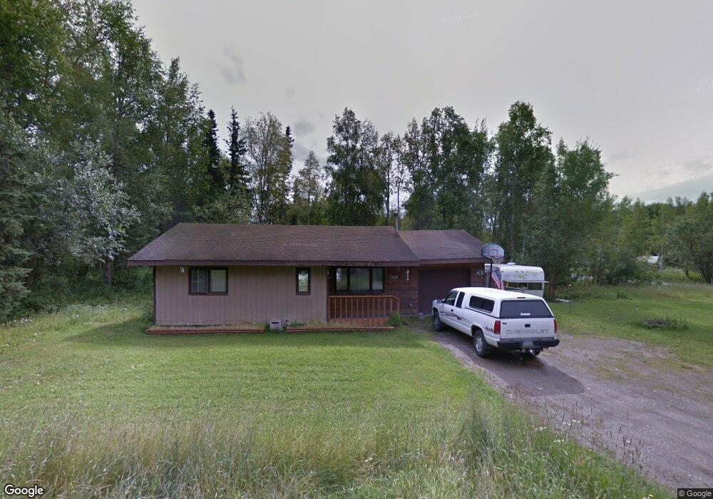
1260 E Brant Cir Wasilla, AK 99654
Estimated Value: $209,000 - $278,000
2
Beds
1
Bath
856
Sq Ft
$291/Sq Ft
Est. Value
About This Home
This home is located at 1260 E Brant Cir, Wasilla, AK 99654 and is currently estimated at $249,198, approximately $291 per square foot. 1260 E Brant Cir is a home located in Matanuska-Susitna Borough with nearby schools including Larson Elementary School, Teeland Middle School, and Colony High School.
Ownership History
Date
Name
Owned For
Owner Type
Purchase Details
Closed on
Aug 25, 2004
Sold by
Orrell Megan A and Orrell Timothy W
Bought by
Walker Sandy L
Current Estimated Value
Home Financials for this Owner
Home Financials are based on the most recent Mortgage that was taken out on this home.
Original Mortgage
$61,000
Outstanding Balance
$30,301
Interest Rate
5.92%
Mortgage Type
Purchase Money Mortgage
Estimated Equity
$218,897
Create a Home Valuation Report for This Property
The Home Valuation Report is an in-depth analysis detailing your home's value as well as a comparison with similar homes in the area
Home Values in the Area
Average Home Value in this Area
Purchase History
| Date | Buyer | Sale Price | Title Company |
|---|---|---|---|
| Walker Sandy L | -- | -- |
Source: Public Records
Mortgage History
| Date | Status | Borrower | Loan Amount |
|---|---|---|---|
| Open | Walker Sandy L | $61,000 | |
| Closed | Walker Sandy L | $27,000 |
Source: Public Records
Tax History Compared to Growth
Tax History
| Year | Tax Paid | Tax Assessment Tax Assessment Total Assessment is a certain percentage of the fair market value that is determined by local assessors to be the total taxable value of land and additions on the property. | Land | Improvement |
|---|---|---|---|---|
| 2025 | -- | $189,900 | $23,000 | $166,900 |
| 2024 | -- | $175,900 | $23,000 | $152,900 |
| 2023 | $0 | $169,600 | $23,000 | $146,600 |
| 2022 | $1,999 | $155,500 | $23,000 | $132,500 |
| 2021 | $1,999 | $140,000 | $23,000 | $117,000 |
| 2020 | $1,999 | $133,500 | $23,000 | $110,500 |
| 2019 | $1,948 | $129,000 | $23,000 | $106,000 |
| 2018 | $1,918 | $126,900 | $23,000 | $103,900 |
| 2017 | $1,900 | $126,500 | $23,000 | $103,500 |
| 2016 | $1,891 | $129,100 | $20,000 | $109,100 |
| 2015 | $1,768 | $126,200 | $20,000 | $106,200 |
| 2014 | $1,768 | $124,700 | $19,000 | $105,700 |
Source: Public Records
Map
Nearby Homes
- 1151 E Dunedin St
- 1550 E Raven Dr
- 3410 N Tattler Ct
- 1775 E Raven Cir
- 1280 E Brent Pointe Dr
- 1300 E Brent Pointe Dr
- 1000 E Loch Ness Ct
- 3524 N Bald Eagle Dr
- 630 E Mcadoo Way
- 1975 E Caribou Loop
- 2755 N Holly Way
- 1055 E Onyx Cir
- 1906 E Ridgeview Dr
- 2721 N Brennas Way
- 900 E Burlwood Dr
- 480 E Agate Ln
- 231 E Luther Ave
- 380 E New Field Dr
- 2004 N Saddle Horse Dr
- 4228 E Serendipity Loop
- 3601 N Snow Goose Dr
- 1340 E Brant Cir
- 3575 N Snow Goose Dr
- 1301 E Brant Cir
- 1255 E Brant Cir
- 1255 E Brant Cir
- 1275 E Brant Cir
- 1345 Brant Cir
- 1345 E Brant Cir
- 3610 N Snow Goose Dr
- 3595 N Plover
- 3555 N Snow Goose Dr
- 3655 N Snow Goose Dr
- 1375 E Brant Cir
- 1370 E Brant Cir
- 3525 N Snow Goose Dr
- 3580 N Snow Goose Dr
- 3540 N Snow Goose Dr
- 3585 N Plover Cir
- 3600 N Snow Goose Dr