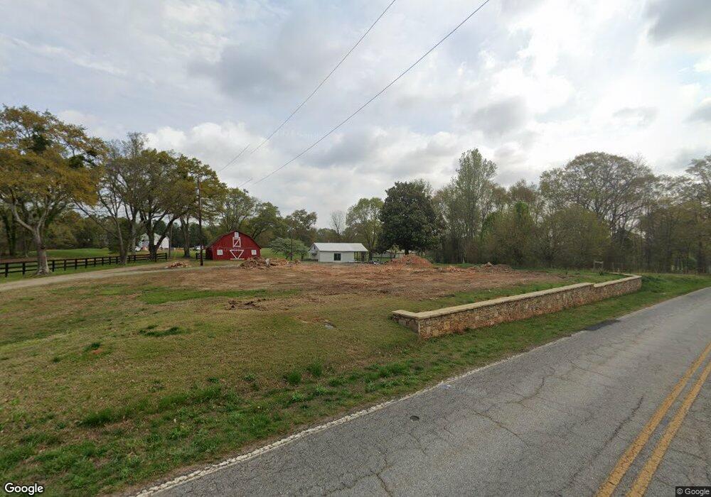
1260 Gossett Rd Spartanburg, SC 29307
Estimated Value: $183,000 - $1,499,249
3
Beds
1
Bath
1,535
Sq Ft
$548/Sq Ft
Est. Value
About This Home
This home is located at 1260 Gossett Rd, Spartanburg, SC 29307 and is currently estimated at $841,125, approximately $547 per square foot. 1260 Gossett Rd is a home with nearby schools including Carlisle-Foster's Grove Elementary School, Rainbow Lake Middle School, and Boiling Springs High School.
Ownership History
Date
Name
Owned For
Owner Type
Purchase Details
Closed on
Oct 28, 2019
Sold by
Wildman Alanna I
Bought by
Wildman Alanna I and Erin E Ivey Revocable Trust
Current Estimated Value
Purchase Details
Closed on
Oct 22, 2019
Sold by
Wildman Alanna I
Bought by
Wildman Alanna I and Trust B
Purchase Details
Closed on
Nov 9, 2015
Sold by
Ivey James W and Ivey Erin E
Bought by
Cherokee Springs United Methodist Church
Purchase Details
Closed on
Jul 11, 2002
Sold by
Ivey Erin E
Bought by
Ivey Erin E
Create a Home Valuation Report for This Property
The Home Valuation Report is an in-depth analysis detailing your home's value as well as a comparison with similar homes in the area
Home Values in the Area
Average Home Value in this Area
Purchase History
| Date | Buyer | Sale Price | Title Company |
|---|---|---|---|
| Wildman Alanna I | -- | None Available | |
| Wildman Alanna I | -- | None Available | |
| Cherokee Springs United Methodist Church | $10,000 | None Available | |
| Ivey Erin E | -- | -- |
Source: Public Records
Tax History Compared to Growth
Tax History
| Year | Tax Paid | Tax Assessment Tax Assessment Total Assessment is a certain percentage of the fair market value that is determined by local assessors to be the total taxable value of land and additions on the property. | Land | Improvement |
|---|---|---|---|---|
| 2025 | $3,104 | $8,421 | $770 | $7,651 |
| 2024 | $3,104 | $8,421 | $770 | $7,651 |
| 2023 | $3,104 | $8,421 | $770 | $7,651 |
| 2022 | $2,908 | $7,553 | $881 | $6,672 |
| 2021 | $2,908 | $7,553 | $881 | $6,672 |
| 2020 | $2,886 | $7,553 | $881 | $6,672 |
| 2019 | $2,877 | $7,683 | $1,176 | $6,507 |
| 2018 | $2,879 | $7,776 | $1,153 | $6,623 |
| 2017 | $2,492 | $6,703 | $1,129 | $5,574 |
| 2016 | $410 | $1,129 | $1,129 | $0 |
| 2015 | $409 | $1,132 | $1,132 | $0 |
| 2014 | $408 | $1,132 | $1,132 | $0 |
Source: Public Records
Map
Nearby Homes
- 2959 Chesnee Hwy
- 451 Old Chesnee Hwy
- 455 Old Chesnee Hwy
- 459 Old Chesnee Hwy
- 134 Harvest Moon Ln
- 49 Thurgood Marshall Rd
- 415 Ware Rd
- 150 Ware Rd
- 325 R C Thompson Rd
- 5031 Radley Rd
- 1170 Fosters Grove Rd
- 299 Sequoyah Dr
- Lot 20 Peach Valley Cir
- 2741 Sandy Ford Rd
- 2701 Sandy Ford Rd
- Lot 31 State Road S-42-2288
- 000 Burns Rd Unit LOT 1
- 000 Burns Rd
- 000 Burns Rd Unit LOT 2
- 230 S Pointe
- 1265 Gossett Rd
- 102 Wallace Rd
- 1255 Gossett Rd
- 1276 Gossett Rd
- 2882 Chesnee Hwy
- 2898 Chesnee Hwy
- 2890 Chesnee Hwy
- 2960 Chesnee Hwy
- 2874 Chesnee Hwy
- 2968 Chesnee Hwy
- 2964 Chesnee Hwy
- 2866 Chesnee Hwy
- 2972 Chesnee Hwy
- 24 Wallace Rd
- 2939 Chesnee Hwy
- 1215 Gossett Rd
- 2863 Chesnee Hwy
- 3076 Chesnee Hwy
- 113 Cherokee Cir
- 21 Wallace Rd