1260 Monkton Rd Monkton, MD 21111
Estimated Value: $910,000 - $1,170,558
--
Bed
4
Baths
3,798
Sq Ft
$279/Sq Ft
Est. Value
About This Home
This home is located at 1260 Monkton Rd, Monkton, MD 21111 and is currently estimated at $1,059,186, approximately $278 per square foot. 1260 Monkton Rd is a home located in Baltimore County with nearby schools including Sparks Elementary School, Hereford Middle School, and Hereford High School.
Ownership History
Date
Name
Owned For
Owner Type
Purchase Details
Closed on
Jan 4, 2017
Bought by
Schreibeis Michael and Schreibeis Jessica
Current Estimated Value
Home Financials for this Owner
Home Financials are based on the most recent Mortgage that was taken out on this home.
Original Mortgage
$711,067
Outstanding Balance
$589,300
Interest Rate
4.32%
Estimated Equity
$469,886
Purchase Details
Closed on
Sep 21, 2001
Sold by
Monkton Road Llc
Bought by
Schreibeis Michael P and Schreibeis Jessica H
Purchase Details
Closed on
Aug 8, 2001
Sold by
Monkton Road Llc
Bought by
Monkton Road Llc
Create a Home Valuation Report for This Property
The Home Valuation Report is an in-depth analysis detailing your home's value as well as a comparison with similar homes in the area
Home Values in the Area
Average Home Value in this Area
Purchase History
| Date | Buyer | Sale Price | Title Company |
|---|---|---|---|
| Schreibeis Michael | -- | -- | |
| Schreibeis Michael P | $240,000 | -- | |
| Monkton Road Llc | -- | -- |
Source: Public Records
Mortgage History
| Date | Status | Borrower | Loan Amount |
|---|---|---|---|
| Open | Schreibeis Michael | $711,067 | |
| Closed | Schreibeis Michael | -- |
Source: Public Records
Tax History Compared to Growth
Tax History
| Year | Tax Paid | Tax Assessment Tax Assessment Total Assessment is a certain percentage of the fair market value that is determined by local assessors to be the total taxable value of land and additions on the property. | Land | Improvement |
|---|---|---|---|---|
| 2025 | $9,463 | $826,300 | $160,000 | $666,300 |
| 2024 | $9,463 | $790,700 | $0 | $0 |
| 2023 | $4,568 | $755,100 | $0 | $0 |
| 2022 | $8,701 | $719,500 | $160,000 | $559,500 |
| 2021 | $8,780 | $719,500 | $160,000 | $559,500 |
| 2020 | $8,780 | $719,500 | $160,000 | $559,500 |
| 2019 | $8,847 | $725,000 | $160,000 | $565,000 |
| 2018 | $8,763 | $718,033 | $0 | $0 |
| 2017 | $8,600 | $711,067 | $0 | $0 |
| 2016 | $7,740 | $704,100 | $0 | $0 |
| 2015 | $7,740 | $683,400 | $0 | $0 |
| 2014 | $7,740 | $662,700 | $0 | $0 |
Source: Public Records
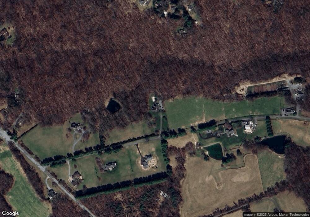
Map
Nearby Homes
- 1901 Monkton Rd
- 745 Monkton Rd
- 700 Maplehurst Ln
- 16746 Wesley Chapel Rd
- 8 Henderson Hill Ct
- 15 Chesterfield Ct
- 2214 Blue Mount Rd
- 1912 Corbridge Ln
- 16905 Daisy Dell Ct
- 2016 Wilson Rd
- 2016 Wilson Rd Unit HAWTHORNE
- 329 Everett Rd
- 1326 Bernoudy Rd
- 2049 Corbett Rd
- 17323 Wesley Chapel Rd
- 15929 York Rd
- 17414 Wesley Chapel Rd
- 1444 Glencoe Rd
- 1014 Bernoudy Rd
- 1623 Glencoe Rd
- 1314 Monkton Rd
- 1312A Monkton Rd
- 1309 Blue Mount Rd
- 1312 Monkton Rd Unit A
- 1312 Monkton Rd
- 1300 Monkton Rd
- 1315 Blue Mount Rd
- 1250 Monkton Rd
- 1313 Blue Mount Rd
- 1317 Blue Mount Rd
- 1306 Monkton Rd
- 1311 Blue Mount Rd
- 1307 Blue Mount Rd
- 1307 Blue Mount Rd
- 1307B Blue Mount Rd
- 1307 Blue Mount Rd
- 1303 Blue Mount Rd
- 1313 Monkton Rd
- 1270 Monkton Rd
- 1316 Blue Mount Rd