1260 Port Williams Rd Williams, IN 47470
Estimated Value: $320,590 - $406,000
4
Beds
3
Baths
3,440
Sq Ft
$106/Sq Ft
Est. Value
About This Home
This home is located at 1260 Port Williams Rd, Williams, IN 47470 and is currently estimated at $363,648, approximately $105 per square foot. 1260 Port Williams Rd is a home located in Lawrence County with nearby schools including Hatfield Elementary School, Burris Elementary School, and Mitchell Junior High School.
Ownership History
Date
Name
Owned For
Owner Type
Purchase Details
Closed on
Jan 5, 2011
Sold by
Federal National Mortgage Association
Bought by
Not Provided
Current Estimated Value
Purchase Details
Closed on
Jun 8, 2010
Sold by
Sam Craig
Bought by
Federal National Mortgage Assoc
Purchase Details
Closed on
Oct 15, 2007
Sold by
Heisler Larry L and Heisler Dianna J
Bought by
Leiberman Morris and Leiberman Waldowski Robert
Create a Home Valuation Report for This Property
The Home Valuation Report is an in-depth analysis detailing your home's value as well as a comparison with similar homes in the area
Home Values in the Area
Average Home Value in this Area
Purchase History
| Date | Buyer | Sale Price | Title Company |
|---|---|---|---|
| Not Provided | $146,500 | Classic Title Inc | |
| Federal National Mortgage Assoc | $151,000 | Feiwell & Hannoy | |
| Leiberman Morris | $198,000 | Elite Title |
Source: Public Records
Tax History Compared to Growth
Tax History
| Year | Tax Paid | Tax Assessment Tax Assessment Total Assessment is a certain percentage of the fair market value that is determined by local assessors to be the total taxable value of land and additions on the property. | Land | Improvement |
|---|---|---|---|---|
| 2024 | $1,999 | $214,000 | $34,400 | $179,600 |
| 2023 | $2,076 | $200,500 | $30,400 | $170,100 |
| 2022 | $1,615 | $177,300 | $26,400 | $150,900 |
| 2021 | $1,465 | $150,200 | $22,700 | $127,500 |
| 2020 | $1,492 | $147,800 | $22,400 | $125,400 |
| 2019 | $1,459 | $145,400 | $24,800 | $120,600 |
| 2018 | $1,421 | $142,800 | $25,100 | $117,700 |
| 2017 | $1,368 | $140,800 | $27,000 | $113,800 |
| 2016 | $1,348 | $140,500 | $27,800 | $112,700 |
| 2014 | $1,258 | $129,600 | $28,300 | $101,300 |
Source: Public Records
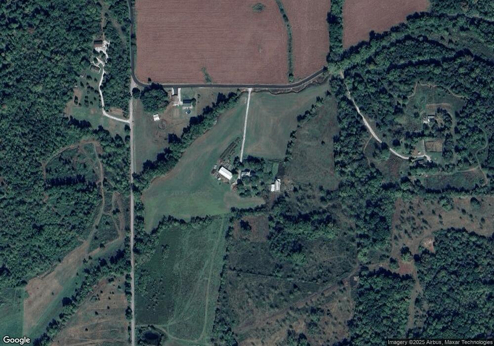
Map
Nearby Homes
- 728 S Sandstone Rd
- TBD Williams Rd
- 3721 Port Williams Rd
- TBD Dogwood Acres Dr
- 12747 High Gap Rd
- 4161 Us Highway 50 W
- 11684 Indiana 450
- 77 acres Low Gap Rd
- 0 Low Gap Rd Unit 25151943
- 0 Low Gap Rd Unit 25151942
- 2580 Ridge Rd
- 6887 Williams Rd
- 8106 U S 50
- 3640 Old Vincennes Rd
- 10460 E State Road 450
- 9838 Bear Hill Rd
- 62.2 Acres Blanton Rd
- 50 S Acres Dr
- 97 S Acres Dr
- 10187 US Highway 50 W
- 1212 Port Williams Rd
- 1366 Port Williams Rd
- 1555 Grand View Rd
- 1414 Grand View Rd
- 808 Port Williams Rd
- 1425 Grand View Rd
- 809 Port Williams Rd
- 1334 Grand View Rd
- 1656 Port Williams Rd
- 1266 Grand View Rd
- 1252 Grand View Rd
- 1745 Port Williams Rd
- 1813 Port Williams Rd
- 1192 Grand View Rd
- 1219 Grand View Rd
- 1858 Port Williams Rd
- 1913 Port Williams Rd
- 1096 Grand View Rd
- 1779 S Sandstone Rd
- 505 Port Williams Rd