1260 Rockaway Rd Senoia, GA 30276
Estimated Value: $227,000 - $369,000
3
Beds
1
Bath
1,690
Sq Ft
$168/Sq Ft
Est. Value
About This Home
This home is located at 1260 Rockaway Rd, Senoia, GA 30276 and is currently estimated at $283,837, approximately $167 per square foot. 1260 Rockaway Rd is a home located in Coweta County with nearby schools including Willis Road Elementary School, East Coweta Middle School, and East Coweta High School.
Ownership History
Date
Name
Owned For
Owner Type
Purchase Details
Closed on
Dec 24, 2013
Sold by
Dillinger Treva
Bought by
Royal James S
Current Estimated Value
Purchase Details
Closed on
Sep 5, 2002
Sold by
Goda Barbara S
Bought by
Dillinger Treva
Home Financials for this Owner
Home Financials are based on the most recent Mortgage that was taken out on this home.
Original Mortgage
$21,000
Interest Rate
6.27%
Mortgage Type
Purchase Money Mortgage
Purchase Details
Closed on
Jan 23, 1998
Bought by
Goda Barbara Susan
Purchase Details
Closed on
Feb 28, 1986
Bought by
Smallwood I R
Create a Home Valuation Report for This Property
The Home Valuation Report is an in-depth analysis detailing your home's value as well as a comparison with similar homes in the area
Home Values in the Area
Average Home Value in this Area
Purchase History
| Date | Buyer | Sale Price | Title Company |
|---|---|---|---|
| Royal James S | $73,450 | -- | |
| Dillinger Treva | $76,900 | -- | |
| Goda Barbara Susan | -- | -- | |
| Smallwood I R | $14,300 | -- |
Source: Public Records
Mortgage History
| Date | Status | Borrower | Loan Amount |
|---|---|---|---|
| Previous Owner | Dillinger Treva | $21,000 |
Source: Public Records
Tax History Compared to Growth
Tax History
| Year | Tax Paid | Tax Assessment Tax Assessment Total Assessment is a certain percentage of the fair market value that is determined by local assessors to be the total taxable value of land and additions on the property. | Land | Improvement |
|---|---|---|---|---|
| 2024 | $1,163 | $50,079 | $13,909 | $36,170 |
| 2023 | $1,163 | $47,162 | $14,167 | $32,995 |
| 2022 | $1,040 | $42,200 | $12,878 | $29,322 |
| 2021 | $1,042 | $39,593 | $12,265 | $27,328 |
| 2020 | $1,049 | $39,593 | $12,265 | $27,328 |
| 2019 | $769 | $26,275 | $11,667 | $14,608 |
| 2018 | $770 | $26,275 | $11,667 | $14,608 |
| 2017 | $770 | $26,275 | $11,666 | $14,609 |
| 2016 | $761 | $26,275 | $11,667 | $14,608 |
| 2015 | $748 | $26,275 | $11,667 | $14,608 |
| 2014 | $459 | $20,781 | $11,667 | $9,114 |
Source: Public Records
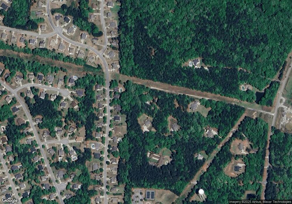
Map
Nearby Homes
- 135 Mulberry Dr
- 35 Paddle Boat Cove
- 20 Palladian Dr
- 165 Tudor Way
- 160 Blue Heron Blvd
- 70 Teal Ct
- 250 Calebee Ave
- 225 Renwick Dr
- 400 Mulberry Dr
- 181 Brittany Ln
- 186 Brittany Ln
- 305 Staffin Dr
- 270 Staffin Dr
- 260 Staffin Dr
- SAVANNAH Plan at Heritage Pointe
- Jean Lee Plan at Heritage Pointe
- Hampshire Plan at Heritage Pointe
- Edison Plan at Heritage Pointe
- Marlene Plan at Heritage Pointe
- 110 Cohabie Ct
- 1216 Rockaway Rd Unit Lot 4
- 1250 Rockaway Rd
- 105 Mulberry Dr Unit 11
- 105 Mulberry Dr
- 115 Mulberry Dr
- 1212 Rockaway Rd Unit Lot 3
- 95 Mulberry Dr
- 125 Mulberry Dr
- 85 Mulberry Dr
- 112 Mulberry Dr
- 75 Mulberry Dr
- 168 Mulberry Dr
- 174 Mulberry Dr
- 187 Mulberry Dr
- 1186 Rockaway Rd
- 135 Mulberry Dr Unit 14
- 65 Mulberry Dr
- 110 Mulberry Dr
- 100 Mulberry Dr
- 120 Mulberry Dr