1260 S Lake Dr West Branch, MI 48661
Estimated Value: $275,000 - $460,021
--
Bed
--
Bath
--
Sq Ft
0.69
Acres
About This Home
This home is located at 1260 S Lake Dr, West Branch, MI 48661 and is currently estimated at $375,005. 1260 S Lake Dr is a home located in Ogemaw County with nearby schools including Surline Elementary School, Surline Middle School, and Ogemaw Heights High School.
Ownership History
Date
Name
Owned For
Owner Type
Purchase Details
Closed on
Dec 3, 2014
Sold by
David P David P
Bought by
Siegrist David P and Siegrist Linda K
Current Estimated Value
Purchase Details
Closed on
Aug 17, 2006
Sold by
Gormley Carol L and Tripp Helen C
Bought by
Siegrist David P and Siegrist Linda K
Home Financials for this Owner
Home Financials are based on the most recent Mortgage that was taken out on this home.
Original Mortgage
$180,000
Outstanding Balance
$108,772
Interest Rate
6.88%
Estimated Equity
$266,233
Create a Home Valuation Report for This Property
The Home Valuation Report is an in-depth analysis detailing your home's value as well as a comparison with similar homes in the area
Home Values in the Area
Average Home Value in this Area
Purchase History
| Date | Buyer | Sale Price | Title Company |
|---|---|---|---|
| Siegrist David P | -- | -- | |
| Siegrist | -- | -- | |
| Siegrist David P | $170,000 | -- |
Source: Public Records
Mortgage History
| Date | Status | Borrower | Loan Amount |
|---|---|---|---|
| Open | Siegrist David P | $180,000 |
Source: Public Records
Tax History Compared to Growth
Tax History
| Year | Tax Paid | Tax Assessment Tax Assessment Total Assessment is a certain percentage of the fair market value that is determined by local assessors to be the total taxable value of land and additions on the property. | Land | Improvement |
|---|---|---|---|---|
| 2025 | $4,037 | $226,500 | $0 | $0 |
| 2024 | $21 | $215,000 | $0 | $0 |
| 2023 | $1,960 | $188,400 | $0 | $0 |
| 2022 | $3,774 | $188,400 | $0 | $0 |
| 2021 | $3,520 | $179,400 | $0 | $0 |
| 2020 | $3,630 | $166,100 | $0 | $0 |
| 2019 | $3,206 | $159,700 | $0 | $0 |
| 2018 | $3,131 | $158,000 | $0 | $0 |
| 2017 | $2,871 | $158,000 | $0 | $0 |
| 2016 | $2,840 | $156,400 | $0 | $0 |
| 2015 | $2,831 | $154,900 | $0 | $0 |
| 2014 | $1,332 | $133,200 | $0 | $0 |
Source: Public Records
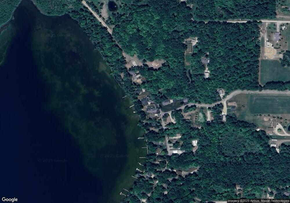
Map
Nearby Homes
- 1380 S Campbell Rd
- 2249 W State Rd
- 2190 Fox Run
- 2249 Fox Run
- 2301 Birchcrest Dr
- 2388 Dam Rd
- 2371 Pilatus Ct
- 0 Jonathan Ct Unit 11 1926460
- 0 Jonathan Ct Unit 12 1926461
- 0 Jonathan Ct Unit 1926470
- 0 Jonathan Ct Unit 10 1926458
- 409 S Morrison Rd
- Parcel 1 M-76
- Parcel 2 M-76
- 0 Arthur Ct Unit 1926554
- 0 Arthur Ct Unit 1926537
- 0 Arthur Ct Unit 1926536
- 0 Arthur Ct Unit 1926540
- 0 Arthur Ct Unit 1926549
- 0 Arthur Ct Unit 1926541