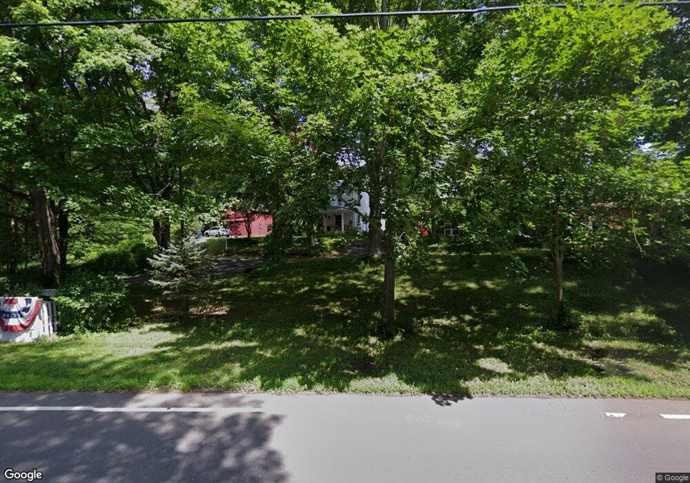
1260 Scard Rd Wallingford, CT 06492
Estimated Value: $498,000 - $557,000
4
Beds
2
Baths
1,824
Sq Ft
$288/Sq Ft
Est. Value
About This Home
This home is located at 1260 Scard Rd, Wallingford, CT 06492 and is currently estimated at $526,158, approximately $288 per square foot. 1260 Scard Rd is a home located in New Haven County with nearby schools including Moses Y Beach Elementary School, Rock Hill Elementary School, and Dag Hammarskjold Middle School.
Ownership History
Date
Name
Owned For
Owner Type
Purchase Details
Closed on
Apr 29, 2020
Sold by
Riotte Erich C
Bought by
Ewers Laura J
Current Estimated Value
Purchase Details
Closed on
Jun 26, 2018
Sold by
Powers Lisa
Bought by
Ewers Laura
Create a Home Valuation Report for This Property
The Home Valuation Report is an in-depth analysis detailing your home's value as well as a comparison with similar homes in the area
Home Values in the Area
Average Home Value in this Area
Purchase History
| Date | Buyer | Sale Price | Title Company |
|---|---|---|---|
| Ewers Laura J | $50,000 | None Available | |
| Ewers Laura J | -- | None Available | |
| Ewers Laura | $50,000 | -- |
Source: Public Records
Tax History Compared to Growth
Tax History
| Year | Tax Paid | Tax Assessment Tax Assessment Total Assessment is a certain percentage of the fair market value that is determined by local assessors to be the total taxable value of land and additions on the property. | Land | Improvement |
|---|---|---|---|---|
| 2025 | $8,008 | $332,000 | $113,400 | $218,600 |
| 2024 | $7,064 | $230,400 | $94,500 | $135,900 |
| 2023 | $6,760 | $230,400 | $94,500 | $135,900 |
| 2022 | $6,691 | $230,400 | $94,500 | $135,900 |
| 2021 | $5,724 | $200,700 | $94,500 | $106,200 |
| 2020 | $5,978 | $204,800 | $108,100 | $96,700 |
| 2019 | $5,978 | $204,800 | $108,100 | $96,700 |
| 2018 | $5,865 | $204,800 | $108,100 | $96,700 |
| 2017 | $5,847 | $204,800 | $108,100 | $96,700 |
| 2016 | $5,712 | $204,800 | $108,100 | $96,700 |
| 2015 | $5,925 | $215,700 | $108,100 | $107,600 |
| 2014 | $5,800 | $215,700 | $108,100 | $107,600 |
Source: Public Records
Map
Nearby Homes
- 122 N Airline Rd
- 350 Williams Rd
- 41 Northford Rd
- 28 Morgan Dr
- 400 Williams Rd
- 940 Durham Rd
- 126 Cooke Rd
- 2 Cooper Ave
- 11 Westview Dr
- 37 Laurelwood Dr
- 1 Pine Glen Terrace
- 1323 Barnes Rd
- 670 Williams Rd
- 24 Evergreen Rd
- 29 Oxbow Ln
- 6 Holly Ln
- 2071 Middletown Ave
- 341 Long Hill Rd
- 84 Oxbow Ln
- 5 Stegos Dr
- 1270 Scard Rd
- 2 Windswept Hill Rd
- 1282 Scard Rd
- 7 Windswept Hill Rd
- 1238 Scard Rd
- 1290 Scard Rd
- 1287 Scard Rd
- 4 Windswept Hill Rd
- 1286 Scard Rd
- 1285 Scard Rd
- 3 Windswept Hill Rd
- 6 Windswept Hill Rd
- 1307 Scard Rd
- 1308 Scard Rd
- 15 Windswept Hill Rd
- 8 Windswept Hill Rd
- 58 Williams Rd
- 54 Williams Rd
- 12 Windswept Hill Rd
- 1216 Whirlwind Hill Rd