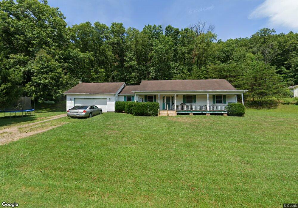
1260 Spires Rd Vinton, OH 45686
Estimated Value: $250,158 - $318,000
3
Beds
2
Baths
2,000
Sq Ft
$141/Sq Ft
Est. Value
About This Home
This home is located at 1260 Spires Rd, Vinton, OH 45686 and is currently estimated at $282,040, approximately $141 per square foot. 1260 Spires Rd is a home located in Gallia County with nearby schools including Vinton Elementary School.
Ownership History
Date
Name
Owned For
Owner Type
Purchase Details
Closed on
Jul 22, 2025
Sold by
Ballantyne Kathy
Bought by
Ballantyne Daniel J
Current Estimated Value
Purchase Details
Closed on
Oct 21, 2005
Sold by
Ballantyne Bryan
Bought by
Ballantyne Kathy
Home Financials for this Owner
Home Financials are based on the most recent Mortgage that was taken out on this home.
Original Mortgage
$102,000
Interest Rate
6.5%
Mortgage Type
Future Advance Clause Open End Mortgage
Purchase Details
Closed on
Sep 27, 1996
Sold by
Mccomas Larry L
Bought by
Ballantyne Bryan
Create a Home Valuation Report for This Property
The Home Valuation Report is an in-depth analysis detailing your home's value as well as a comparison with similar homes in the area
Purchase History
| Date | Buyer | Sale Price | Title Company |
|---|---|---|---|
| Ballantyne Daniel J | -- | None Listed On Document | |
| Ballantyne Daniel J | -- | None Listed On Document | |
| Ballantyne Kathy | -- | None Available | |
| Ballantyne Bryan | $1,500 | -- |
Source: Public Records
Mortgage History
| Date | Status | Borrower | Loan Amount |
|---|---|---|---|
| Previous Owner | Ballantyne Kathy | $102,000 |
Source: Public Records
Tax History
| Year | Tax Paid | Tax Assessment Tax Assessment Total Assessment is a certain percentage of the fair market value that is determined by local assessors to be the total taxable value of land and additions on the property. | Land | Improvement |
|---|---|---|---|---|
| 2025 | $1,959 | $57,030 | $7,130 | $49,900 |
| 2024 | $1,959 | $57,030 | $7,130 | $49,900 |
| 2023 | $2,114 | $57,030 | $7,130 | $49,900 |
| 2022 | $1,902 | $50,540 | $6,030 | $44,510 |
| 2021 | $1,897 | $50,540 | $6,030 | $44,510 |
| 2020 | $1,897 | $50,540 | $6,030 | $44,510 |
| 2019 | $1,731 | $46,340 | $5,480 | $40,860 |
| 2018 | $1,731 | $46,340 | $5,480 | $40,860 |
| 2017 | $1,752 | $46,340 | $5,480 | $40,860 |
| 2016 | $1,722 | $46,690 | $5,120 | $41,570 |
| 2015 | $1,722 | $46,690 | $5,120 | $41,570 |
| 2013 | $1,639 | $45,460 | $5,120 | $40,340 |
| 2012 | $1,639 | $45,460 | $5,120 | $40,340 |
Source: Public Records
Map
Nearby Homes
- 7710 Bull Run Rd
- 0 Keystone Rd Unit (Racoon Creek Cabin)
- 0 Keystone Rd Unit 25593981
- 1462 Keystone Rd
- 1462 Keystone Rd Unit (Raccoon Creek Adven
- 1396 Scenic Dr
- 31166 Edmundson Rd
- 31661 Molehan Rd
- 399 Wilder Rd
- 46400 Ohio 160
- 27235 Price Rd
- 4346 Mount Tabor Rd
- 32045 Cabin
- 799 Woodruff Rd
- 0 Edmundson Rd Unit (Tract 2 at Big Timb
- 0 Edmundson Rd Unit 2429533
- 0 Edmundson Rd Unit 23607169
- 2986 Summitt Rd
- 28033 Ohio 124
- 31275 Ohio 325
- 948 Spires Rd
- 0 Spires Rd Unit 1750850
- 2015 Keesee Rd
- 2010 Keesee Rd
- 322 Adney Rd
- 73 Adney Rd
- 55ac Keesee Rd
- 71ac Keesee Rd
- 1349 Keesee Rd
- 113 Adney Rd
- 10695 State Route 325
- 537 Adney Rd
- 1117 Keesee Rd
- 26279 Andrews Rd
- 937 McClaskey Rd
- 0 Keesee Rd Unit 1817733
- 0 Keesee Rd Unit 165990
- 0 Keesee Rd Unit 2432228
- 0 Keesee Rd Unit 2428600
- 0 Keesee Rd Unit H128803
Your Personal Tour Guide
Ask me questions while you tour the home.