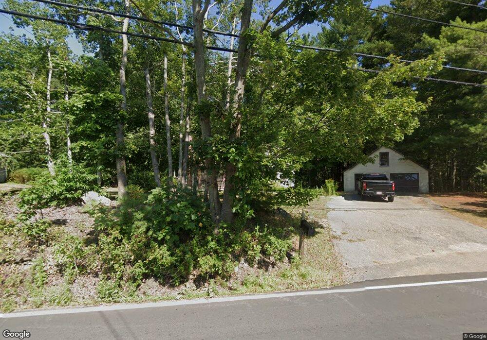
1260 State Rd Eliot, ME 03903
South Eliot NeighborhoodEstimated Value: $396,998 - $466,000
3
Beds
1
Bath
1,048
Sq Ft
$416/Sq Ft
Est. Value
About This Home
This home is located at 1260 State Rd, Eliot, ME 03903 and is currently estimated at $435,500, approximately $415 per square foot. 1260 State Rd is a home located in York County with nearby schools including Marshwood High School and Seacoast Waldorf School.
Create a Home Valuation Report for This Property
The Home Valuation Report is an in-depth analysis detailing your home's value as well as a comparison with similar homes in the area
Home Values in the Area
Average Home Value in this Area
Tax History
| Year | Tax Paid | Tax Assessment Tax Assessment Total Assessment is a certain percentage of the fair market value that is determined by local assessors to be the total taxable value of land and additions on the property. | Land | Improvement |
|---|---|---|---|---|
| 2024 | $3,041 | $256,600 | $140,400 | $116,200 |
| 2023 | $2,944 | $240,300 | $133,500 | $106,800 |
| 2022 | $2,851 | $235,600 | $133,500 | $102,100 |
| 2021 | $2,327 | $201,800 | $101,600 | $100,200 |
| 2020 | $2,803 | $190,700 | $96,700 | $94,000 |
| 2019 | $275 | $190,700 | $96,700 | $94,000 |
| 2018 | $2,803 | $190,700 | $96,700 | $94,000 |
| 2017 | $2,727 | $190,700 | $96,700 | $94,000 |
| 2016 | $2,679 | $190,700 | $96,700 | $94,000 |
| 2015 | $2,670 | $190,700 | $96,700 | $94,000 |
| 2014 | $2,632 | $190,700 | $96,700 | $94,000 |
| 2013 | $2,512 | $190,700 | $96,700 | $94,000 |
Source: Public Records
Map
Nearby Homes
- 18 Shipping Ln
- 8 Caslyn Dr
- 0 Franks Fort Island Unit 1650383
- 62 Village Dr Unit 62
- 22 Summer Ln
- 18 Governor Hill Rd
- 1708 State Rd
- 19 Aspen Cir
- 10 Shipwright Way
- 5 Spinney Way Unit 9
- 71 Shipwright Way
- 96 Spinnaker Way
- 18 Little Bay Dr
- 45 Shearwater Dr
- 37 Shearwater Dr Unit 1906
- 1360 Woodbury Ave
- 197 State Rd
- 14 Birch St
- 0 Cote Dr Unit 55B
- 25 Oak Terrace
Your Personal Tour Guide
Ask me questions while you tour the home.