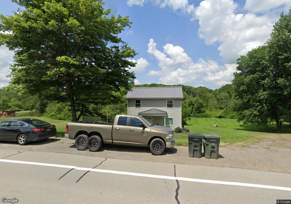
1260 State Route 168 Georgetown, PA 15043
Greene Township NeighborhoodEstimated Value: $181,000 - $283,000
2
Beds
1
Bath
1,240
Sq Ft
$199/Sq Ft
Est. Value
About This Home
This home is located at 1260 State Route 168, Georgetown, PA 15043 and is currently estimated at $247,333, approximately $199 per square foot. 1260 State Route 168 is a home located in Beaver County with nearby schools including South Side El School, South Side Middle School, and South Side High School.
Ownership History
Date
Name
Owned For
Owner Type
Purchase Details
Closed on
Apr 1, 2014
Sold by
Wells Fargo Bank Na
Bought by
Hall Brad
Current Estimated Value
Purchase Details
Closed on
Jul 17, 2013
Sold by
Grogett Florence E and Grogett Robert A
Bought by
Wells Fargo Bank Na
Purchase Details
Closed on
Jun 19, 2002
Sold by
Mclaughlin James R
Bought by
Grogett Robert A
Home Financials for this Owner
Home Financials are based on the most recent Mortgage that was taken out on this home.
Original Mortgage
$80,910
Interest Rate
6.81%
Mortgage Type
New Conventional
Create a Home Valuation Report for This Property
The Home Valuation Report is an in-depth analysis detailing your home's value as well as a comparison with similar homes in the area
Home Values in the Area
Average Home Value in this Area
Purchase History
| Date | Buyer | Sale Price | Title Company |
|---|---|---|---|
| Hall Brad | $13,000 | Premium Title Services Inc | |
| Wells Fargo Bank Na | $819 | None Available | |
| Grogett Robert A | $89,400 | -- |
Source: Public Records
Mortgage History
| Date | Status | Borrower | Loan Amount |
|---|---|---|---|
| Previous Owner | Grogett Robert A | $80,910 |
Source: Public Records
Tax History Compared to Growth
Tax History
| Year | Tax Paid | Tax Assessment Tax Assessment Total Assessment is a certain percentage of the fair market value that is determined by local assessors to be the total taxable value of land and additions on the property. | Land | Improvement |
|---|---|---|---|---|
| 2025 | $444 | $60,550 | $18,550 | $42,000 |
| 2024 | $1,864 | $60,550 | $18,550 | $42,000 |
| 2023 | $1,226 | $12,400 | $3,300 | $9,100 |
| 2022 | $1,169 | $12,400 | $3,300 | $9,100 |
| 2021 | $1,169 | $12,400 | $3,300 | $9,100 |
| 2020 | $1,136 | $12,400 | $3,300 | $9,100 |
| 2019 | $322 | $12,400 | $3,300 | $9,100 |
| 2018 | $1,115 | $12,400 | $3,300 | $9,100 |
| 2017 | $1,115 | $12,400 | $3,300 | $9,100 |
| 2016 | $1,055 | $12,400 | $3,300 | $9,100 |
| 2015 | $275 | $12,400 | $3,300 | $9,100 |
| 2014 | $275 | $12,400 | $3,300 | $9,100 |
Source: Public Records
Map
Nearby Homes
- 107 Francis Dr
- 573 Shaffer Rd
- 144 Langham Dr
- 7517 Veterans Blvd
- 4839 State Route 151
- 0 Us-30 Unit 1713829
- 2618 US Route 30
- TBD Orchard Rd
- 188 Laura Dr
- 215 Harshaville Rd
- 139 Hardins Run Rd
- 0 Kennedy Rd
- 264 Hanover Kendall Rd
- 0 Beaver Midland Rd
- 1284 Ohio Ave
- 0 Boyce Dr
- 214 Mccleary Rd
- 208 Mccleary Rd
- 760 Penn Ave
- 33 Park Place W
- 1254 State Route 168
- 1245 Rt 168
- 1295 State Route 168
- 1230 State Route 168
- 1230 State Route 168
- 1230 State Route 168
- 1230 Pa-168
- 1236 State Route 168
- 1236 State Route 168
- 1299 State Route 168
- 1299 Pennsylvania 168
- 1228 State Route 168
- 1302 State Route 168
- 1282 State Route 168
- 1304 State Route 168
- 2824 Us Route 30
- 2760 Rt 30
- 1290 State Route 168
- 1317 Rt 168
- 1317 Pennsylvania 168