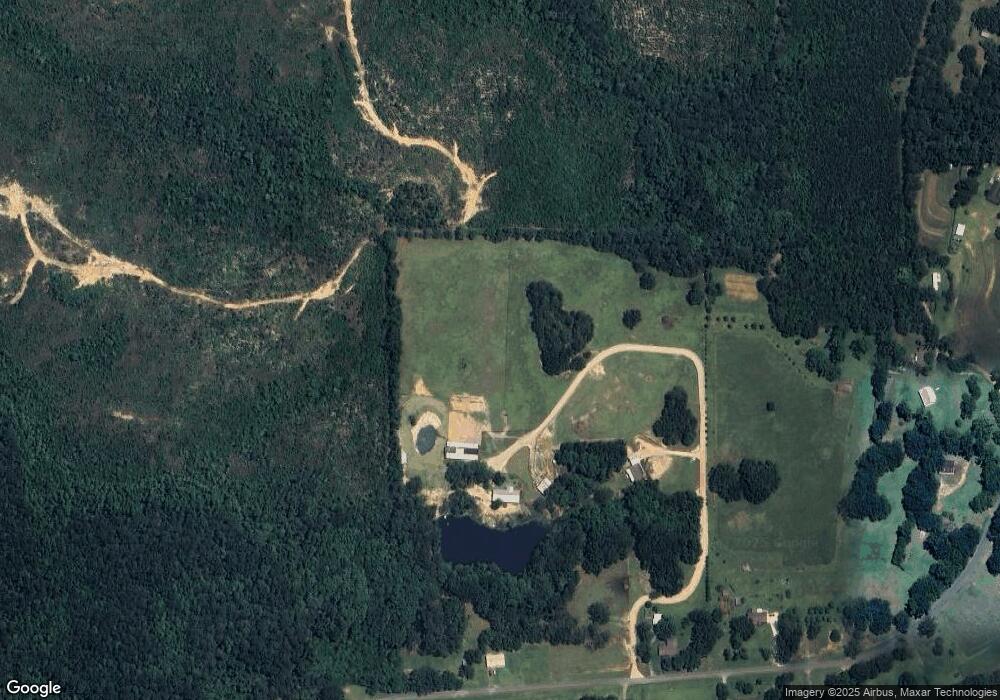
12600 Airport Rd Bay Minette, AL 36507
Estimated Value: $246,000 - $469,000
3
Beds
2
Baths
1,738
Sq Ft
$195/Sq Ft
Est. Value
About This Home
This home is located at 12600 Airport Rd, Bay Minette, AL 36507 and is currently estimated at $338,876, approximately $194 per square foot. 12600 Airport Rd is a home located in Baldwin County with nearby schools including Bay Minette Elementary School, Bay Minette Middle School, and Baldwin County High School.
Ownership History
Date
Name
Owned For
Owner Type
Purchase Details
Closed on
Apr 23, 2021
Sold by
Hinote John W
Bought by
Garrett Noel S and Garrett Amy M
Current Estimated Value
Home Financials for this Owner
Home Financials are based on the most recent Mortgage that was taken out on this home.
Original Mortgage
$192,000
Outstanding Balance
$173,492
Interest Rate
3.05%
Mortgage Type
New Conventional
Estimated Equity
$165,384
Purchase Details
Closed on
Sep 12, 2018
Sold by
Matthews Renee H
Bought by
Hinote John W
Create a Home Valuation Report for This Property
The Home Valuation Report is an in-depth analysis detailing your home's value as well as a comparison with similar homes in the area
Home Values in the Area
Average Home Value in this Area
Purchase History
| Date | Buyer | Sale Price | Title Company |
|---|---|---|---|
| Garrett Noel S | $240,000 | None Available | |
| Hinote John W | $2,000 | None Available |
Source: Public Records
Mortgage History
| Date | Status | Borrower | Loan Amount |
|---|---|---|---|
| Open | Garrett Noel S | $192,000 |
Source: Public Records
Tax History Compared to Growth
Tax History
| Year | Tax Paid | Tax Assessment Tax Assessment Total Assessment is a certain percentage of the fair market value that is determined by local assessors to be the total taxable value of land and additions on the property. | Land | Improvement |
|---|---|---|---|---|
| 2024 | $707 | $23,560 | $1,500 | $22,060 |
| 2023 | $575 | $19,160 | $1,440 | $17,720 |
| 2022 | $509 | $16,960 | $0 | $0 |
| 2021 | $0 | $15,160 | $0 | $0 |
| 2020 | $146 | $14,480 | $0 | $0 |
| 2019 | $0 | $14,840 | $0 | $0 |
| 2018 | $0 | $13,960 | $0 | $0 |
| 2017 | $0 | $14,060 | $0 | $0 |
| 2016 | $0 | $12,860 | $0 | $0 |
| 2015 | -- | $12,720 | $0 | $0 |
| 2014 | -- | $13,240 | $0 | $0 |
| 2013 | -- | $13,200 | $0 | $0 |
Source: Public Records
Map
Nearby Homes
- 13400 D'Olive St
- 00 Tall Pine Rd
- 13246 County Road 138
- 0 Whitehouse Fork Rd Unit 351875
- 0 Whitehouse Fork Rd Unit 339317
- 0 Whitehouse Fork Rd Unit 18999955
- 0 Whitehouse Fork Rd Unit 7325746
- 0 Whitehouse Fork Rd Unit 356533
- 0 Whitehouse Fork Rd Unit 356526
- 0 Whitehouse Fork Rd Unit 7325724
- 0 Whitehouse Fork Rd Unit 7325757
- 0 Whitehouse Fork Rd Unit 7150342
- 0 Whitehouse Fork Rd Unit 348781
- 45613 Red Hill Rd
- 211 N Dobson Ave
- 1203 Phillips St
- 12880 County Road 138
- 11865 Red Hill Rd Extension Unit 3
- 706 Doctor Martin Luther King Junior Blvd
- 901B D'Olive St
- 0 Airport Rd Unit 272634
- 12633 Airport Rd
- 12525 Airport Rd
- 12700 Airport Rd
- 12910 Airport Rd
- 12740 Airport Rd
- 12840 Airport Rd
- 12627 Airport Rd
- 12855 Airport Rd
- 12875 Airport Rd
- 12995 Airport Rd
- 46657 Freddie Sellers Ln
- 44800 Freddie Sellers Ln
- 12960 Airport Rd
- 12545 Tall Pine Rd
- 12991 Airport Rd
- 12801 Frank Means Rd
- 13040 Airport Rd
- 12775 Frank Means Rd
- 12865 Airport Rd
