12600 S Fork Ln Benton, AR 72019
Estimated Value: $364,000 - $484,000
--
Bed
3
Baths
2,708
Sq Ft
$158/Sq Ft
Est. Value
About This Home
This home is located at 12600 S Fork Ln, Benton, AR 72019 and is currently estimated at $428,992, approximately $158 per square foot. 12600 S Fork Ln is a home located in Saline County with nearby schools including Glen Rose Elementary School, Glen Rose Middle School, and Glen Rose High School.
Ownership History
Date
Name
Owned For
Owner Type
Purchase Details
Closed on
Aug 21, 2008
Sold by
Yingling Travis and Yingling Edna M
Bought by
Davis Keith and Davis Denise
Current Estimated Value
Home Financials for this Owner
Home Financials are based on the most recent Mortgage that was taken out on this home.
Original Mortgage
$28,000
Interest Rate
6.66%
Mortgage Type
Future Advance Clause Open End Mortgage
Purchase Details
Closed on
Jul 15, 1997
Bought by
Yingling
Create a Home Valuation Report for This Property
The Home Valuation Report is an in-depth analysis detailing your home's value as well as a comparison with similar homes in the area
Home Values in the Area
Average Home Value in this Area
Purchase History
| Date | Buyer | Sale Price | Title Company |
|---|---|---|---|
| Davis Keith | $280,000 | None Available | |
| Yingling | $10,000 | -- |
Source: Public Records
Mortgage History
| Date | Status | Borrower | Loan Amount |
|---|---|---|---|
| Closed | Davis Keith | $28,000 | |
| Open | Davis Keith | $223,000 |
Source: Public Records
Tax History Compared to Growth
Tax History
| Year | Tax Paid | Tax Assessment Tax Assessment Total Assessment is a certain percentage of the fair market value that is determined by local assessors to be the total taxable value of land and additions on the property. | Land | Improvement |
|---|---|---|---|---|
| 2025 | $3,135 | $67,994 | $4,290 | $63,704 |
| 2024 | $3,135 | $67,994 | $4,290 | $63,704 |
| 2023 | $2,060 | $54,595 | $4,290 | $50,305 |
| 2022 | $2,010 | $54,595 | $4,290 | $50,305 |
| 2021 | $1,727 | $41,890 | $4,290 | $37,600 |
| 2020 | $1,682 | $41,890 | $4,290 | $37,600 |
| 2019 | $1,682 | $41,890 | $4,290 | $37,600 |
| 2018 | $1,707 | $41,890 | $4,290 | $37,600 |
| 2017 | $1,707 | $41,890 | $4,290 | $37,600 |
| 2016 | $2,114 | $44,140 | $4,290 | $39,850 |
| 2015 | $2,114 | $44,140 | $4,290 | $39,850 |
| 2014 | $1,814 | $44,140 | $4,290 | $39,850 |
Source: Public Records
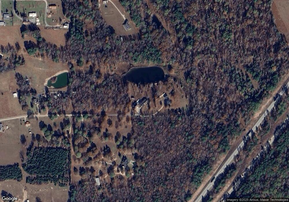
Map
Nearby Homes
- 8903 & 8905 Fairplay Rd
- 7000 Rolling Manor Dr
- 6115 Point View Rd
- 7035 Point View Rd
- 4051 Whitney Ln
- 0000 Deer Creek Rd
- 000 Traskwood Rd
- 5086 Oklahoma Inn Rd
- 14124 Highway 67
- 4133 Brody Crossing
- 1500 Dwight Brown Rd
- 185 Edgewater Cove
- 2019 Traskwood Rd
- 2009 Berkshire Dr
- 4109 Hampton Dr
- 3914 Beacon Cove
- 500 R Tram - Rear Right
- 00000 Crossroads
- 000 Eiler Loop
- 500 R Tram - Left Rear
- 12400 S Fork Ln
- 12615 Southfork Ln
- 12615 S Fork Ln
- 12101 Cooper Rd
- 12801 S Fork Ln
- 12870 S Fork Ln
- 12301 Henigan Rd
- 12875 S Fork Ln
- 12321 Henigan Rd
- 12961 S Fork Ln
- 12403 Henigan Rd
- 7824 Fairplay Rd
- 12409 Henigan Rd
- 7908 Fairplay Rd
- 9006 Eskabar Dr
- 7820 Fairplay Rd
- 8836 Brushy Creek Trail
- 7911 Fairplay Rd
- 7772 Fairplay Rd
- 7800 Fairplay Rd