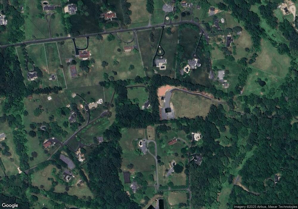
12600 Wycklow Dr Clifton, VA 20124
Estimated Value: $1,181,000 - $1,412,427
3
Beds
5
Baths
3,390
Sq Ft
$386/Sq Ft
Est. Value
About This Home
This home is located at 12600 Wycklow Dr, Clifton, VA 20124 and is currently estimated at $1,306,857, approximately $385 per square foot. 12600 Wycklow Dr is a home located in Fairfax County with nearby schools including Union Mill Elementary School and James W Robinson, Jr. Secondary School.
Ownership History
Date
Name
Owned For
Owner Type
Purchase Details
Closed on
Jul 27, 2018
Sold by
Brosnan Paul J and Brosnan Cynthia J
Bought by
Brosnan Timothy M
Current Estimated Value
Home Financials for this Owner
Home Financials are based on the most recent Mortgage that was taken out on this home.
Original Mortgage
$729,000
Outstanding Balance
$634,489
Interest Rate
4.6%
Mortgage Type
VA
Estimated Equity
$672,368
Purchase Details
Closed on
Dec 19, 1994
Sold by
Bridges Brian G
Bought by
Brosnan Paul J
Home Financials for this Owner
Home Financials are based on the most recent Mortgage that was taken out on this home.
Original Mortgage
$318,750
Interest Rate
9.03%
Create a Home Valuation Report for This Property
The Home Valuation Report is an in-depth analysis detailing your home's value as well as a comparison with similar homes in the area
Home Values in the Area
Average Home Value in this Area
Purchase History
| Date | Buyer | Sale Price | Title Company |
|---|---|---|---|
| Brosnan Timothy M | $820,000 | Settlement Group Inc | |
| Brosnan Paul J | $425,000 | -- |
Source: Public Records
Mortgage History
| Date | Status | Borrower | Loan Amount |
|---|---|---|---|
| Open | Brosnan Timothy M | $729,000 | |
| Previous Owner | Brosnan Paul J | $318,750 | |
| Closed | Brosnan Paul J | $63,750 |
Source: Public Records
Tax History Compared to Growth
Tax History
| Year | Tax Paid | Tax Assessment Tax Assessment Total Assessment is a certain percentage of the fair market value that is determined by local assessors to be the total taxable value of land and additions on the property. | Land | Improvement |
|---|---|---|---|---|
| 2025 | $12,357 | $1,158,140 | $559,000 | $599,140 |
| 2024 | $12,357 | $1,066,670 | $522,000 | $544,670 |
| 2023 | $12,037 | $1,066,670 | $522,000 | $544,670 |
| 2022 | $10,529 | $920,810 | $515,000 | $405,810 |
| 2021 | $9,615 | $819,370 | $487,000 | $332,370 |
| 2020 | $9,085 | $767,640 | $487,000 | $280,640 |
| 2019 | $9,016 | $761,830 | $486,000 | $275,830 |
| 2018 | $8,826 | $767,460 | $486,000 | $281,460 |
| 2017 | $8,910 | $767,460 | $486,000 | $281,460 |
| 2016 | $8,891 | $767,460 | $486,000 | $281,460 |
| 2015 | $8,392 | $751,940 | $476,000 | $275,940 |
| 2014 | $8,373 | $751,940 | $476,000 | $275,940 |
Source: Public Records
Map
Nearby Homes
- 6830 Clifton Rd
- 12905 Compton Rd
- 13005 Compton Rd
- 6811 White Rock Rd
- 6323 Colchester Rd
- 6109 Colchester Rd
- 12848 Redbird Ridge
- 6102 Kings Color Dr
- 6705 Cedar View Ct
- 6501 Clifton Rd
- 6116 Kings Color Dr
- 6015 Fox Run
- 6131 Moonpatterns Trail
- 5800 Fox Chapel Estates Dr
- 12517 Easter Ln
- 13406 Compton Rd
- 5726 Walcott Ave
- 13209 Johnny Moore Ln
- 5920 Doyle Rd
- 12511 Rochester Dr
- 6602 Castle Knoll Dr
- 12525 Knollbrook Dr
- 6601 Castle Ridge Rd
- 12605 Knollbrook Dr
- 12608 Wycklow Dr
- 12515 Knollbrook Dr
- 6605 Castle Ridge Rd
- 12616 Wycklow Dr
- 12504 Knollbrook Dr
- 12615 Knollbrook Dr
- 6610 Castle Knoll Dr
- 6510 Newman Rd
- 12600 Knollbrook Dr
- 12522 Knollbrook Dr
- 12510 Knollbrook Dr
- 12514 Knollbrook Dr
- 12518 Knollbrook Dr
- 12624 Wycklow Dr
- 12621 Wycklow Dr
- 12530 Knollbrook Dr
