Estimated Value: $546,000 - $864,000
4
Beds
4
Baths
4,654
Sq Ft
$144/Sq Ft
Est. Value
About This Home
This home is located at 12601 Cottontail Rd, Yukon, OK 73099 and is currently estimated at $669,946, approximately $143 per square foot. 12601 Cottontail Rd is a home with nearby schools including Central Elementary School, Redstone Intermediate School, and Yukon Middle School.
Ownership History
Date
Name
Owned For
Owner Type
Purchase Details
Closed on
Feb 23, 2011
Sold by
Phillip P & Margaret A Owens Living Trus
Bought by
Owens Phillip P and Owens Margaret A
Current Estimated Value
Home Financials for this Owner
Home Financials are based on the most recent Mortgage that was taken out on this home.
Original Mortgage
$417,000
Outstanding Balance
$284,257
Interest Rate
4.7%
Mortgage Type
New Conventional
Estimated Equity
$385,689
Purchase Details
Closed on
Feb 16, 2010
Sold by
The Phillip P Owens & Margaret A Owens L
Bought by
Owens Phillip P and Owens Margaret A
Purchase Details
Closed on
Apr 20, 2009
Sold by
Owens Phillip P and Owens Margaret A
Bought by
The Phillip P Owens & Margaret A Owens L
Create a Home Valuation Report for This Property
The Home Valuation Report is an in-depth analysis detailing your home's value as well as a comparison with similar homes in the area
Home Values in the Area
Average Home Value in this Area
Purchase History
| Date | Buyer | Sale Price | Title Company |
|---|---|---|---|
| Owens Phillip P | -- | Capitol Abstract & Title Co | |
| Owens Phillip P | -- | None Available | |
| The Phillip P Owens & Margaret A Owens L | -- | None Available |
Source: Public Records
Mortgage History
| Date | Status | Borrower | Loan Amount |
|---|---|---|---|
| Open | Owens Phillip P | $417,000 |
Source: Public Records
Tax History Compared to Growth
Tax History
| Year | Tax Paid | Tax Assessment Tax Assessment Total Assessment is a certain percentage of the fair market value that is determined by local assessors to be the total taxable value of land and additions on the property. | Land | Improvement |
|---|---|---|---|---|
| 2024 | $6,747 | $58,751 | $759 | $57,992 |
| 2023 | $6,747 | $57,040 | $759 | $56,281 |
| 2022 | $6,588 | $55,379 | $759 | $54,620 |
| 2021 | $6,615 | $55,897 | $759 | $55,138 |
| 2020 | $6,565 | $55,917 | $759 | $55,158 |
| 2019 | $6,372 | $54,288 | $759 | $53,529 |
| 2018 | $6,189 | $52,707 | $759 | $51,948 |
| 2017 | $6,007 | $51,403 | $759 | $50,644 |
| 2016 | $5,816 | $51,403 | $759 | $50,644 |
| 2015 | -- | $48,452 | $759 | $47,693 |
| 2014 | -- | $47,384 | $759 | $46,625 |
Source: Public Records
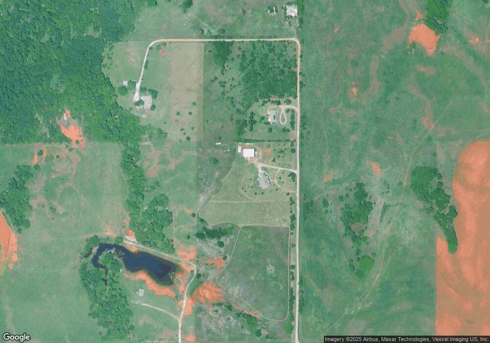
Map
Nearby Homes
- 0 N Piedmont Rd
- 12600 NW 137th St
- 12608 NW 137th St
- 12612 NW 137th St
- Estero Plan at The Brook
- Barton Plan at The Brook
- Caprock Plan at The Brook
- Franklin Plan at The Brook
- Ashburn Plan at The Brook
- Justin Plan at The Brook
- Denton Plan at The Brook
- HARRIS Plan at The Brook
- Kingston Plan at The Brook
- Cali Plan at The Brook
- Bellevue Plan at The Brook
- 12616 NW 137th St
- 13800 Klinsman Rd
- 11941 NW 120th St
- 12624 NW 137th St
- 12628 NW 137th St
- 12701 Cottontail Rd
- 12700 Cripple Creek Rd
- 12600 NW 122nd St
- 13000 N Cemetery Rd
- 12720 N Cemetery Rd
- 12601 N Cemetery Rd
- 12101 N Cemetery Rd
- 12520 NW Expressway
- 13105 N Cemetery Rd
- 13001 N Cemetery Rd
- 13201 N Cemetery Rd
- 12701 N Cemetery Rd
- 13025 Big Cedar Ln
- 00 N Piedmont Rd
- 13401 N Cemetery Rd
- 13000 Big Cedar Ln
- 11900 Northwest Expy
- 13101 NW 132nd St
- 12545 the Brook Blvd
- 13704 the Brook Blvd