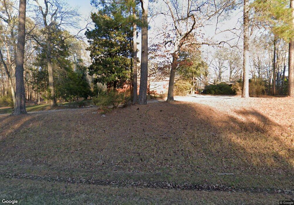
12601 Harrowgate Rd Chester, VA 23831
Estimated Value: $348,000 - $401,527
4
Beds
2
Baths
2,386
Sq Ft
$159/Sq Ft
Est. Value
About This Home
This home is located at 12601 Harrowgate Rd, Chester, VA 23831 and is currently estimated at $378,382, approximately $158 per square foot. 12601 Harrowgate Rd is a home located in Chesterfield County with nearby schools including C E Curtis Elementary School, Bellwood Elementary School, and Elizabeth Davis Middle School.
Ownership History
Date
Name
Owned For
Owner Type
Purchase Details
Closed on
May 13, 2002
Bought by
Beard Morris B and Beard Gabrielle M
Current Estimated Value
Home Financials for this Owner
Home Financials are based on the most recent Mortgage that was taken out on this home.
Original Mortgage
$65,950
Outstanding Balance
$28,337
Interest Rate
7.18%
Mortgage Type
New Conventional
Estimated Equity
$350,045
Create a Home Valuation Report for This Property
The Home Valuation Report is an in-depth analysis detailing your home's value as well as a comparison with similar homes in the area
Home Values in the Area
Average Home Value in this Area
Purchase History
| Date | Buyer | Sale Price | Title Company |
|---|---|---|---|
| Beard Morris B | -- | -- |
Source: Public Records
Mortgage History
| Date | Status | Borrower | Loan Amount |
|---|---|---|---|
| Open | Beard Morris B | $65,950 |
Source: Public Records
Tax History Compared to Growth
Tax History
| Year | Tax Paid | Tax Assessment Tax Assessment Total Assessment is a certain percentage of the fair market value that is determined by local assessors to be the total taxable value of land and additions on the property. | Land | Improvement |
|---|---|---|---|---|
| 2025 | $3,044 | $339,200 | $61,000 | $278,200 |
| 2024 | $3,044 | $316,400 | $59,000 | $257,400 |
| 2023 | $2,546 | $279,800 | $59,000 | $220,800 |
| 2022 | $2,290 | $248,900 | $49,000 | $199,900 |
| 2021 | $2,254 | $234,600 | $46,000 | $188,600 |
| 2020 | $2,146 | $225,900 | $46,000 | $179,900 |
| 2019 | $2,106 | $221,700 | $45,000 | $176,700 |
| 2018 | $2,021 | $212,700 | $41,000 | $171,700 |
| 2017 | $1,985 | $206,800 | $41,000 | $165,800 |
| 2016 | $1,807 | $188,200 | $41,000 | $147,200 |
| 2015 | $1,807 | $188,200 | $41,000 | $147,200 |
| 2014 | $1,807 | $188,200 | $41,000 | $147,200 |
Source: Public Records
Map
Nearby Homes
- 4308 Hyde Park Dr
- 4331 Poplar Village Dr
- 4306 Poplar Village Dr
- 4319 Poplar Village Dr
- 4249 Curtis St
- 4248 Poplar Village Dr
- 4307 Village Woods Ln
- 4242 Poplar Village Dr
- The Cordova Plan at Poplar Village
- The Shenandoah Plan at Poplar Village
- The Westwood Plan at Poplar Village
- The Rowland Plan at Poplar Village
- The Charles Plan at Poplar Village
- The Stafford Plan at Poplar Village
- The Potomac Plan at Poplar Village
- The Ellie Plan at Poplar Village
- The Carter Plan at Poplar Village
- The Albany Plan at Poplar Village
- The Belvedere Plan at Poplar Village
- The Ellwood Plan at Poplar Village
- 12607 Harrowgate Rd
- 12613 Harrowgate Rd
- 12600 Colonial Ave
- 12625 Harrowgate Rd
- 12619 Harrowgate Rd
- 4501 Rieves Pond Dr
- 12629 Harrowgate Rd
- 12614 Colonial Ave
- 12612 Colonial Ave
- 4401 Curtis St
- 12631 Harrowgate Rd
- 12630 Colonial Ave
- 12637 Harrowgate Rd
- 4311 Highland Ave
- 4400 Hyde Park Dr
- 12621 Cole Mill Rd
- 12621 Colonial Ave
- 12701 Harrowgate Rd
- 4317 Curtis St
- 4306 Hyde Park Dr
