Estimated Value: $202,000 - $376,000
4
Beds
2
Baths
1,885
Sq Ft
$146/Sq Ft
Est. Value
About This Home
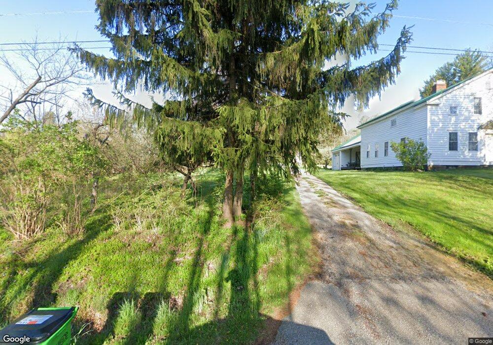
This home is located at 12601 State Route 700, Hiram, OH 44234 and is currently estimated at $274,910, approximately $145 per square foot. 12601 State Route 700 is a home located in Portage County with nearby schools including Crestwood Primary School, Crestwood Intermediate School, and Crestwood Middle School.
Ownership History
Date
Name
Owned For
Owner Type
Purchase Details
Closed on
May 2, 2007
Sold by
Taylor Raymond L and Taylor Joanne
Bought by
Grissett Ron E and Grissett Amy J
Current Estimated Value
Home Financials for this Owner
Home Financials are based on the most recent Mortgage that was taken out on this home.
Original Mortgage
$58,400
Interest Rate
6.2%
Mortgage Type
Purchase Money Mortgage
Purchase Details
Closed on
Oct 17, 2006
Sold by
Taylor Raymond L and Taylor Daniel L
Bought by
Boggs Donna
Create a Home Valuation Report for This Property
The Home Valuation Report is an in-depth analysis detailing your home's value as well as a comparison with similar homes in the area
Home Values in the Area
Average Home Value in this Area
Purchase History
| Date | Buyer | Sale Price | Title Company |
|---|---|---|---|
| Grissett Ron E | $142,000 | Rt | |
| Messer Terry L | $73,000 | Asta | |
| Boggs Donna | $94,000 | Ravenna Title Agency |
Source: Public Records
Mortgage History
| Date | Status | Borrower | Loan Amount |
|---|---|---|---|
| Closed | Messer Terry L | $58,400 | |
| Open | Grissett Ron E | $137,700 |
Source: Public Records
Tax History Compared to Growth
Tax History
| Year | Tax Paid | Tax Assessment Tax Assessment Total Assessment is a certain percentage of the fair market value that is determined by local assessors to be the total taxable value of land and additions on the property. | Land | Improvement |
|---|---|---|---|---|
| 2024 | $2,444 | $62,100 | $18,310 | $43,790 |
| 2023 | $2,290 | $52,260 | $14,670 | $37,590 |
| 2022 | $2,314 | $52,260 | $14,670 | $37,590 |
| 2021 | $2,388 | $52,260 | $14,670 | $37,590 |
| 2020 | $2,190 | $45,750 | $14,670 | $31,080 |
| 2019 | $2,167 | $45,750 | $14,670 | $31,080 |
| 2018 | $2,211 | $45,890 | $14,670 | $31,220 |
| 2017 | $2,211 | $45,890 | $14,670 | $31,220 |
| 2016 | $2,204 | $45,890 | $14,670 | $31,220 |
| 2015 | $2,209 | $45,890 | $14,670 | $31,220 |
| 2014 | $2,251 | $45,890 | $14,670 | $31,220 |
| 2013 | $2,172 | $45,890 | $14,670 | $31,220 |
Source: Public Records
Map
Nearby Homes
- 19109 Tilden Rd
- 0 Garfield Rd
- 6846 Wakefield Rd
- SR 82 Ohio 82
- 7991 Norton Rd
- 11383 Rolling Meadows Dr
- 7000 Village Way Dr
- 7076 Village Way Dr
- 7050 Village Way Dr
- 12157 State Route 88
- 7972 State Route 305
- 12928 State Route 88
- 14020 Kimpton Trail
- 12707 Brosius Rd
- 12954 State Route 88
- Lot 7 Wheeler Rd
- Lot 14 Wheeler Rd
- 12525 Brosius Rd
- 12947 Brosius Rd
- 18400 Shaw Rd
- 6835 Winchell Rd
- 12607 State Route 700
- 6815 Winchell Rd
- 6791 Winchell Rd
- 12639 State Route 700
- 12670 State Route 700
- 12516 State Route 700
- 12540 State Route 700
- 12507 State Route 700
- 12689 State Route 700
- 6751 Winchell Rd
- 6727 Winchell Rd
- 12431 State Route 700
- 6667 Winchell Rd
- 12791 State Route 700
- 12396 State Route 700
- 12794 State Route 700
- 6993 Norton Rd
- 6993 Norton Rd
- 6993 Norton Rd