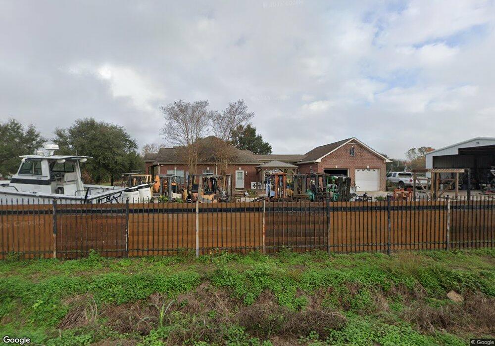
12602 Ann Louise Rd Houston, TX 77086
North Houston NeighborhoodEstimated Value: $511,000 - $686,262
3
Beds
2
Baths
1,881
Sq Ft
$328/Sq Ft
Est. Value
About This Home
This home is located at 12602 Ann Louise Rd, Houston, TX 77086 and is currently estimated at $617,087, approximately $328 per square foot. 12602 Ann Louise Rd is a home located in Harris County with nearby schools including Kujawa EC/Pre-K/K School, Carter Academy, and Shotwell Middle School.
Ownership History
Date
Name
Owned For
Owner Type
Purchase Details
Closed on
May 3, 2024
Sold by
Turner Lee and Turner Peggy
Bought by
Dinh Thu Quy and Dinh Kimlich Bui
Current Estimated Value
Purchase Details
Closed on
Mar 20, 2008
Sold by
Pham Chuong Huy and Pham Linda
Bought by
Vanpham Chuong and Bui Phuong K
Purchase Details
Closed on
Oct 16, 2003
Sold by
Irannezhad Mohammad and Irannezhad Sadeg
Bought by
Pham Chuong Huy and Pham Linda
Create a Home Valuation Report for This Property
The Home Valuation Report is an in-depth analysis detailing your home's value as well as a comparison with similar homes in the area
Home Values in the Area
Average Home Value in this Area
Purchase History
| Date | Buyer | Sale Price | Title Company |
|---|---|---|---|
| Dinh Thu Quy | -- | Great American Title Company | |
| Vanpham Chuong | -- | None Available | |
| Pham Chuong Huy | -- | -- |
Source: Public Records
Tax History Compared to Growth
Tax History
| Year | Tax Paid | Tax Assessment Tax Assessment Total Assessment is a certain percentage of the fair market value that is determined by local assessors to be the total taxable value of land and additions on the property. | Land | Improvement |
|---|---|---|---|---|
| 2025 | $3,941 | $617,583 | $478,533 | $139,050 |
| 2024 | $3,941 | $720,206 | $521,175 | $199,031 |
| 2023 | $3,340 | $592,128 | $341,132 | $250,996 |
| 2022 | $4,685 | $624,200 | $341,132 | $283,068 |
| 2021 | $4,465 | $540,900 | $260,587 | $280,313 |
| 2020 | $4,278 | $398,000 | $260,587 | $137,413 |
| 2019 | $3,335 | $0 | $0 | $0 |
| 2018 | $3,087 | $240,000 | $170,989 | $69,011 |
| 2017 | $5,439 | $240,000 | $170,989 | $69,011 |
| 2016 | $5,124 | $226,100 | $138,319 | $87,781 |
| 2015 | $4,556 | $226,100 | $138,319 | $87,781 |
| 2014 | $4,556 | $226,100 | $138,319 | $87,781 |
Source: Public Records
Map
Nearby Homes
- 12623 Ann Louise Rd
- 00 Essie Rd
- 5914 Stirring Winds Ln
- 3127 Frick Rd
- 12026 Madison Oak St
- 12042 Mallard Stream Ct
- 12006 Mallard Stream Ct
- 12015 Audubon Hill Ct
- 3265 Frick Rd
- 2934 Valiant Scene Ct
- 12007 Bach Orchard Trail
- 2907 Valiant Scene Ct
- 2838 Packard Elm St
- 12518 Pelican Bay Dr
- 2835 Oakland Brook St
- 2831 Oakland Brook St
- 2811 Oakland Brook St
- Whitetail Plan at Forestwood
- Kitson Plan at Forestwood
- Pinehollow Plan at Forestwood
- 12609 Ann Louise Rd
- 12611 Ann Louise Rd
- 3216 Essie Rd
- 12615 Ann Louise Rd
- 12626 Ann Louise Rd
- 12502 Ann Louise Rd
- 3214 Essie Rd
- 12619 Ann Louise Rd
- 3129 Hansom Rd
- 3218 Essie Rd
- 12524 Ann Louise Rd
- 3138 Hansom Rd
- 0 Essie
- 12703 Ann Louise Rd
- 3134 Hansom Rd
- 12713 Ann Louise Rd
- 3226 Essie Rd
- 3126 Hansom Rd
- 12715 Ann Louise Rd
- 3234 Essie Rd