Estimated Value: $283,000 - $428,000
--
Bed
--
Bath
1,120
Sq Ft
$317/Sq Ft
Est. Value
About This Home
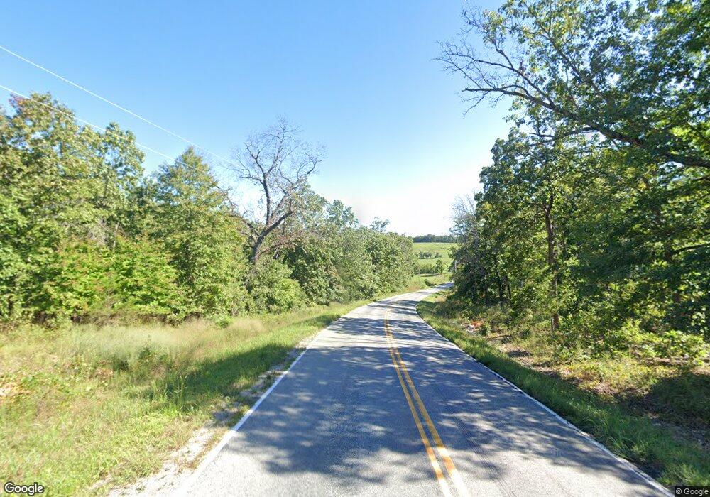
This home is located at 12603 State Highway O, Ava, MO 65608 and is currently estimated at $355,500, approximately $317 per square foot. 12603 State Highway O is a home with nearby schools including Ava Elementary School, Ava Middle School, and Ava High School.
Ownership History
Date
Name
Owned For
Owner Type
Purchase Details
Closed on
May 8, 2017
Sold by
Baumgardner Robert
Bought by
Mcnair Erik and Mcnair Jennifer
Current Estimated Value
Home Financials for this Owner
Home Financials are based on the most recent Mortgage that was taken out on this home.
Original Mortgage
$112,230
Outstanding Balance
$93,664
Interest Rate
4.23%
Mortgage Type
New Conventional
Estimated Equity
$261,836
Create a Home Valuation Report for This Property
The Home Valuation Report is an in-depth analysis detailing your home's value as well as a comparison with similar homes in the area
Home Values in the Area
Average Home Value in this Area
Purchase History
| Date | Buyer | Sale Price | Title Company |
|---|---|---|---|
| Mcnair Erik | -- | None Available |
Source: Public Records
Mortgage History
| Date | Status | Borrower | Loan Amount |
|---|---|---|---|
| Open | Mcnair Erik | $112,230 |
Source: Public Records
Tax History Compared to Growth
Tax History
| Year | Tax Paid | Tax Assessment Tax Assessment Total Assessment is a certain percentage of the fair market value that is determined by local assessors to be the total taxable value of land and additions on the property. | Land | Improvement |
|---|---|---|---|---|
| 2025 | $605 | $19,230 | $2,980 | $16,250 |
| 2024 | $605 | $17,500 | $2,600 | $14,900 |
| 2023 | $603 | $17,500 | $2,600 | $14,900 |
| 2022 | $555 | $16,150 | $2,600 | $13,550 |
| 2021 | $516 | $16,150 | $2,600 | $13,550 |
| 2020 | $516 | $1,570 | $130 | $1,440 |
| 2019 | $55 | $1,570 | $130 | $1,440 |
| 2018 | $55 | $1,580 | $140 | $1,440 |
| 2017 | $55 | $1,580 | $140 | $1,440 |
| 2016 | $52 | $1,470 | $140 | $1,330 |
| 2012 | -- | $38,030 | $0 | $0 |
Source: Public Records
Map
Nearby Homes
- Lot 4 Arden Ridge
- Lot 13 Arden Ridge
- 160 Lot Arden Ridge Hwy O
- Lot 10 Arden Ridge Hwy O
- Lot 14 Arden Ridge Hwy O
- Lot 17 Arden Ridge
- Lot 11 Arden Ridge
- Lot 7 Arden Ridge Hwy O
- Lot 12 Arden Ridge Hwy O
- Lot 18 Arden Ridge
- Lot 3 Hwy O Arden Ridge
- 0 Rr 3
- Lot 16 Arden Ridge
- Lot #5 Arden Ridge
- 11138 State Highway O
- 000 State Highway O
- 6548 Co Unit 529
- Rr 7 Box 7378 P
- 11852 Co Rd Unit Ak-541
- 7378p Rr 7
- 3445 Route 1 O Hwy
- 12591 State Highway O
- 12879 Hwy O
- Lot 15 Hwy O
- 12273 State Highway Y
- 12309 State Highway O
- 14549 State Highway O
- 12211 State Highway O
- 10561 State Highway O
- 442A Rr 3
- 0 Rt 3 Unit AK541 11114512
- 0 Rt 3 Unit B 282 11105007
- 0 Rt 3 Unit B 426 10805758
- 0 Rt 3 Unit B 439 10807806
- 0 Rt 3 Unit B 49 10817375
- 0 Rt 3 Unit B4072 10819330
- 0 Rt 3 Unit 10805759
- 0 Rt 3 Unit B 102 10821140
- 0 Rt 3 Unit B 47 10900649
- 0 Rt 3 Unit B265B 10901669
