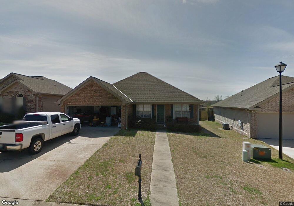
12604 Rock Pointe Way Northport, AL 35475
Estimated Value: $274,000 - $316,000
3
Beds
1
Bath
1,602
Sq Ft
$188/Sq Ft
Est. Value
About This Home
This home is located at 12604 Rock Pointe Way, Northport, AL 35475 and is currently estimated at $300,384, approximately $187 per square foot. 12604 Rock Pointe Way is a home located in Tuscaloosa County with nearby schools including Huntington Place Elementary School, Echols Middle School, and Tuscaloosa County High School.
Ownership History
Date
Name
Owned For
Owner Type
Purchase Details
Closed on
Jul 13, 2007
Sold by
Rbc
Bought by
St John David
Current Estimated Value
Purchase Details
Closed on
Jan 27, 2006
Sold by
Not Provided
Bought by
Thomas Joel F
Home Financials for this Owner
Home Financials are based on the most recent Mortgage that was taken out on this home.
Original Mortgage
$50,000
Interest Rate
5.7%
Mortgage Type
Purchase Money Mortgage
Create a Home Valuation Report for This Property
The Home Valuation Report is an in-depth analysis detailing your home's value as well as a comparison with similar homes in the area
Home Values in the Area
Average Home Value in this Area
Purchase History
| Date | Buyer | Sale Price | Title Company |
|---|---|---|---|
| St John David | $172,000 | -- | |
| Thomas Joel F | -- | -- |
Source: Public Records
Mortgage History
| Date | Status | Borrower | Loan Amount |
|---|---|---|---|
| Previous Owner | Thomas Joel F | $50,000 |
Source: Public Records
Tax History Compared to Growth
Tax History
| Year | Tax Paid | Tax Assessment Tax Assessment Total Assessment is a certain percentage of the fair market value that is determined by local assessors to be the total taxable value of land and additions on the property. | Land | Improvement |
|---|---|---|---|---|
| 2024 | $1,025 | $55,660 | $7,000 | $48,660 |
| 2023 | $1,025 | $52,160 | $7,000 | $45,160 |
| 2022 | $869 | $47,580 | $7,000 | $40,580 |
| 2021 | $800 | $44,000 | $7,000 | $37,000 |
| 2020 | $773 | $42,600 | $7,000 | $35,600 |
| 2019 | $736 | $40,680 | $7,000 | $33,680 |
| 2018 | $611 | $40,680 | $7,000 | $33,680 |
| 2017 | $611 | $0 | $0 | $0 |
| 2016 | $574 | $0 | $0 | $0 |
| 2015 | $594 | $0 | $0 | $0 |
| 2014 | -- | $33,300 | $7,000 | $26,300 |
Source: Public Records
Map
Nearby Homes
- 12602 Cottage Ln
- 12596 Cottage Cir
- 13761 Blackoak Dr
- 13767 Blackoak Dr
- 13754 Blackoak Dr
- 13908 Highland Pointe Dr
- 13743 Blackoak Dr
- 12539 Willow View Cir
- 13742 Highland Pointe Dr
- 13718 Blackoak Dr
- 13883 Sullivan Blvd
- 13712 Blackoak Dr
- 13871 Sullivan Blvd
- 13986 Knoll Pointe Dr
- 12674 Windword Pointe Dr
- 12946 Joshua St
- 13712 Tab Dr
- 12599 Oak Ridge Rd
- 13756 Brandon James Ave
- 12370 Huntington Village Dr
- 12608 Rock Pointe Way
- 12600 Rock Pointe Way
- 12612 Rock Pointe Way
- 12681 Leatha Cir
- 12687 Leatha Cir
- 12673 Leatha Cir
- 12691 Leatha Cir
- 12616 Rock Pointe Way
- 12603 Rock Pointe Way
- 12609 Rock Pointe Way
- 12669 Leatha Cir
- 12699 Leatha Cir
- 12615 Rock Pointe Way
- 12621 Rock Pointe Way
- 12665 Leatha Cir
- 12680 Leatha Cir
- 12684 Leatha Cir
- 12684 Leatha Cir Unit 159
- 12688 Leatha Cir
- 12676 Leatha Cir