12605 E Evans Cir Unit D Aurora, CO 80014
Heather Ridge NeighborhoodEstimated Value: $348,572 - $380,000
3
Beds
2
Baths
1,592
Sq Ft
$227/Sq Ft
Est. Value
About This Home
This home is located at 12605 E Evans Cir Unit D, Aurora, CO 80014 and is currently estimated at $360,893, approximately $226 per square foot. 12605 E Evans Cir Unit D is a home located in Arapahoe County with nearby schools including Ponderosa Elementary School, Prairie Middle School, and Overland High School.
Ownership History
Date
Name
Owned For
Owner Type
Purchase Details
Closed on
Jun 4, 2010
Sold by
Gates Jeffre Jon
Bought by
Schleich Katherine L
Current Estimated Value
Home Financials for this Owner
Home Financials are based on the most recent Mortgage that was taken out on this home.
Original Mortgage
$79,900
Outstanding Balance
$25,760
Interest Rate
4.93%
Mortgage Type
New Conventional
Estimated Equity
$335,133
Purchase Details
Closed on
Dec 9, 2009
Sold by
Wells Fargo Bank National Association
Bought by
Gates Jeffrey Jon
Home Financials for this Owner
Home Financials are based on the most recent Mortgage that was taken out on this home.
Original Mortgage
$112,917
Interest Rate
5.06%
Mortgage Type
FHA
Purchase Details
Closed on
Aug 31, 2009
Sold by
Bauer William P and Bauer Sandra L
Bought by
Wells Fargo Bank National Association
Purchase Details
Closed on
Apr 22, 2005
Sold by
Roberts Michael S and Roberts Patti S
Bought by
Bauer William P and Bauer Sandra L
Purchase Details
Closed on
Sep 30, 1996
Sold by
Roberts Patti S and Roberts Patti S
Bought by
Roberts Michael S and Roberts Patti S
Home Financials for this Owner
Home Financials are based on the most recent Mortgage that was taken out on this home.
Original Mortgage
$82,500
Interest Rate
7.96%
Purchase Details
Closed on
Jan 29, 1991
Sold by
Secretary Of Housing & Urban Dev
Bought by
Goldsmith Patti S
Purchase Details
Closed on
Jul 31, 1990
Sold by
Dobereiner John E
Bought by
Secretary Of Housing & Urban Dev
Purchase Details
Closed on
Dec 15, 1988
Sold by
Smith Catherine L
Bought by
Dobereiner John E
Purchase Details
Closed on
Jul 29, 1986
Sold by
Conversion Arapco
Bought by
Smith Catherine L
Purchase Details
Closed on
Apr 1, 1985
Sold by
Conversion Arapco
Bought by
Conversion Arapco
Purchase Details
Closed on
May 1, 1981
Sold by
Conversion Arapco
Bought by
Conversion Arapco
Purchase Details
Closed on
Jul 4, 1776
Bought by
Conversion Arapco
Create a Home Valuation Report for This Property
The Home Valuation Report is an in-depth analysis detailing your home's value as well as a comparison with similar homes in the area
Home Values in the Area
Average Home Value in this Area
Purchase History
| Date | Buyer | Sale Price | Title Company |
|---|---|---|---|
| Schleich Katherine L | $159,900 | Fidelity National Title Co | |
| Gates Jeffrey Jon | $115,000 | First American Title Ins Co | |
| Wells Fargo Bank National Association | -- | None Available | |
| Bauer William P | $173,500 | Land Title | |
| Roberts Michael S | -- | -- | |
| Goldsmith Patti S | -- | -- | |
| Secretary Of Housing & Urban Dev | -- | -- | |
| Dobereiner John E | -- | -- | |
| Smith Catherine L | -- | -- | |
| Conversion Arapco | -- | -- | |
| Conversion Arapco | -- | -- | |
| Conversion Arapco | -- | -- |
Source: Public Records
Mortgage History
| Date | Status | Borrower | Loan Amount |
|---|---|---|---|
| Open | Schleich Katherine L | $79,900 | |
| Previous Owner | Gates Jeffrey Jon | $112,917 | |
| Previous Owner | Roberts Michael S | $82,500 |
Source: Public Records
Tax History
| Year | Tax Paid | Tax Assessment Tax Assessment Total Assessment is a certain percentage of the fair market value that is determined by local assessors to be the total taxable value of land and additions on the property. | Land | Improvement |
|---|---|---|---|---|
| 2025 | $1,983 | $23,519 | -- | -- |
| 2024 | $1,749 | $25,279 | -- | -- |
| 2023 | $1,749 | $25,279 | $0 | $0 |
| 2022 | $1,486 | $20,516 | $0 | $0 |
| 2021 | $1,495 | $20,516 | $0 | $0 |
| 2020 | $1,499 | $20,878 | $0 | $0 |
| 2019 | $1,447 | $20,878 | $0 | $0 |
| 2018 | $1,271 | $17,244 | $0 | $0 |
| 2017 | $1,253 | $17,244 | $0 | $0 |
| 2016 | $1,062 | $13,699 | $0 | $0 |
| 2015 | $1,010 | $13,699 | $0 | $0 |
| 2014 | -- | $12,099 | $0 | $0 |
| 2013 | -- | $13,020 | $0 | $0 |
Source: Public Records
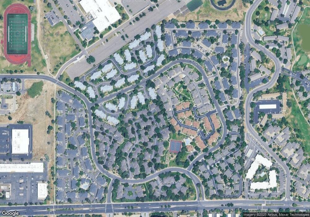
Map
Nearby Homes
- 2136 S Scranton Way
- 12685 E Pacific Cir Unit C
- 12523 E Pacific Cir Unit E
- 12440 E Pacific Cir Unit B
- 12543 E Pacific Cir Unit D
- 12655 E Pacific Cir Unit C
- 12501 E Evans Cir Unit A
- 12406 E Pacific Cir Unit D
- 2269 S Toledo Ct
- 2231 S Vaughn Way Unit 118B
- 2231 S Vaughn Way Unit 315B
- 2231 S Vaughn Way Unit 114B
- 2231 S Vaughn Way Unit 216B
- 2150 S Vaughn Way Unit 204D
- 2120 S Vaughn Way Unit 102F
- 2281 S Vaughn Way Unit 111A
- 2281 S Vaughn Way Unit 104A
- 2130 S Vaughn Way Unit 202E
- 2130 S Vaughn Way Unit 205E
- 2304 S Troy St Unit 2304
- 12605 E Evans Cir Unit C
- 12605 E Evans Cir Unit B
- 12605 E Evans Cir Unit A
- 12594 E Pacific Cir Unit F
- 12594 E Pacific Cir Unit E
- 12594 E Pacific Cir Unit D
- 12594 E Pacific Cir Unit C
- 12594 E Pacific Cir Unit B
- 12594 E Pacific Cir Unit A
- 12584 E Pacific Cir Unit F
- 12584 E Pacific Cir Unit E
- 12584 E Pacific Cir Unit D
- 12584 E Pacific Cir Unit C
- 12584 E Pacific Cir Unit B
- 12584 E Pacific Cir Unit A
- 12584 E Pacific Cir Unit 34F
- 12582 E Evans Cir Unit D
- 12582 E Evans Cir Unit C
- 12582 E Evans Cir Unit B
- 12582 E Evans Cir Unit A
Your Personal Tour Guide
Ask me questions while you tour the home.