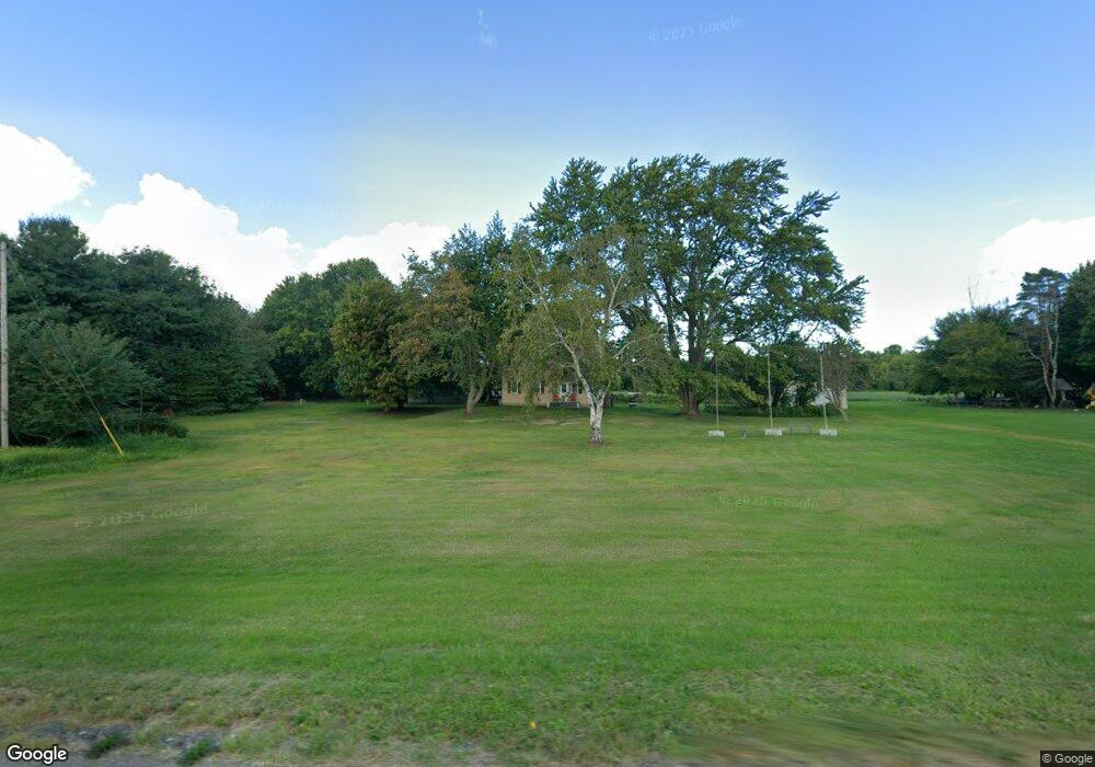
12606 Ridge Rd West Springfield, PA 16443
Estimated Value: $213,033 - $239,000
3
Beds
1
Bath
1,570
Sq Ft
$141/Sq Ft
Est. Value
About This Home
This home is located at 12606 Ridge Rd, West Springfield, PA 16443 and is currently estimated at $221,258, approximately $140 per square foot. 12606 Ridge Rd is a home located in Erie County with nearby schools including Northwestern Senior High School.
Ownership History
Date
Name
Owned For
Owner Type
Purchase Details
Closed on
Jun 28, 2006
Sold by
Hites Ruth
Bought by
Oberlander Robert D and Oberlander Diane L
Current Estimated Value
Purchase Details
Closed on
Jul 7, 1999
Sold by
Sayles Ronald W and Sayles Charlene R
Bought by
Sayles Curtis Randolph and Sayles Linda S
Home Financials for this Owner
Home Financials are based on the most recent Mortgage that was taken out on this home.
Original Mortgage
$81,600
Interest Rate
7.39%
Mortgage Type
VA
Create a Home Valuation Report for This Property
The Home Valuation Report is an in-depth analysis detailing your home's value as well as a comparison with similar homes in the area
Home Values in the Area
Average Home Value in this Area
Purchase History
| Date | Buyer | Sale Price | Title Company |
|---|---|---|---|
| Oberlander Robert D | -- | None Available | |
| Sayles Curtis Randolph | $80,000 | -- |
Source: Public Records
Mortgage History
| Date | Status | Borrower | Loan Amount |
|---|---|---|---|
| Previous Owner | Sayles Curtis Randolph | $81,600 |
Source: Public Records
Tax History Compared to Growth
Tax History
| Year | Tax Paid | Tax Assessment Tax Assessment Total Assessment is a certain percentage of the fair market value that is determined by local assessors to be the total taxable value of land and additions on the property. | Land | Improvement |
|---|---|---|---|---|
| 2025 | $2,304 | $113,500 | $25,300 | $88,200 |
| 2024 | $2,253 | $113,500 | $25,300 | $88,200 |
| 2023 | $2,061 | $113,500 | $25,300 | $88,200 |
| 2022 | $1,973 | $113,500 | $25,300 | $88,200 |
| 2021 | $1,947 | $113,500 | $25,300 | $88,200 |
| 2020 | $1,918 | $113,500 | $25,300 | $88,200 |
| 2019 | $1,878 | $113,500 | $25,300 | $88,200 |
| 2018 | $1,573 | $99,880 | $25,300 | $74,580 |
| 2017 | $1,573 | $99,880 | $25,300 | $74,580 |
| 2016 | $1,850 | $99,880 | $25,300 | $74,580 |
| 2015 | $1,825 | $99,880 | $25,300 | $74,580 |
| 2014 | $1,020 | $99,880 | $25,300 | $74,580 |
Source: Public Records
Map
Nearby Homes
- 3797 Scott Rd
- 3499 Route 215
- 12100 Stoker Rd
- 13657 W Lake Rd
- 13692 Ridge Rd
- Lot 3 Biscoff Rd
- 4937 Crayton Rd
- 11390 Cross Station Rd
- 13478 Old Lake Rd Unit 15
- 13478 Old Lake Rd Unit 92
- 6946 Huntley Rd
- 14430 Ridge Rd
- 14603 Ridge Rd
- 10650 Bowmantown Rd
- 8574 Kinsey Rd
- 2737 Lake St
- 10210 Knapp Rd
- 9876 E Peach St
- 9834 Bateman Ave
- 9840 Bateman Ave
- 12584 W Ridge Rd
- 12621 W Ridge Rd
- 4897 Scott Rd
- 4861 Scott Rd
- 12595 Main St
- 12568 W Ridge Rd
- 4823 Scott Rd
- 12585 Main St
- 12550 W Ridge Rd
- 4787 Scott Rd
- 4842 Scott Rd
- 12575 Main St
- 12657 Ridge Rd
- 12654 Ridge Rd
- 12532 W Ridge Rd
- 4649 Scott Rd
- 12694 Ridge Rd
- 12486 W Ridge Rd
- 12706 Ridge Rd
- 12556 Main St