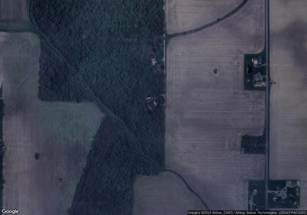
12606 Township Road 67 Findlay, OH 45840
Estimated Value: $354,000 - $402,480
3
Beds
2
Baths
2,186
Sq Ft
$172/Sq Ft
Est. Value
About This Home
This home is located at 12606 Township Road 67, Findlay, OH 45840 and is currently estimated at $375,120, approximately $171 per square foot. 12606 Township Road 67 is a home located in Hancock County with nearby schools including Liberty-Benton Elementary School, Liberty-Benton Middle School, and Liberty-Benton High School.
Ownership History
Date
Name
Owned For
Owner Type
Purchase Details
Closed on
Oct 28, 2020
Sold by
Youngpeter David W and Youngpeter Linda C
Bought by
Wilson Kristie D and Wilson Byron
Current Estimated Value
Purchase Details
Closed on
May 30, 2019
Sold by
Sirotti Daniela
Bought by
Youngpeter Linda C and Youngpeter David W
Home Financials for this Owner
Home Financials are based on the most recent Mortgage that was taken out on this home.
Original Mortgage
$90,000
Interest Rate
4.2%
Mortgage Type
New Conventional
Purchase Details
Closed on
Apr 28, 2017
Sold by
Estate Of Illic V Sirotti
Bought by
Sirotti Daniela
Purchase Details
Closed on
Apr 22, 1991
Bought by
Sirotti Daniela and Sirotti Illic
Purchase Details
Closed on
Mar 13, 1987
Bought by
Fenton Joel Ray and Judy Katherine
Create a Home Valuation Report for This Property
The Home Valuation Report is an in-depth analysis detailing your home's value as well as a comparison with similar homes in the area
Home Values in the Area
Average Home Value in this Area
Purchase History
| Date | Buyer | Sale Price | Title Company |
|---|---|---|---|
| Wilson Kristie D | -- | None Available | |
| Youngpeter Linda C | $240,000 | Golden Key Title Agency | |
| Sirotti Daniela | -- | None Available | |
| Sirotti Daniela | $125,000 | -- | |
| Fenton Joel Ray | $21,500 | -- |
Source: Public Records
Mortgage History
| Date | Status | Borrower | Loan Amount |
|---|---|---|---|
| Previous Owner | Youngpeter Linda C | $90,000 |
Source: Public Records
Tax History Compared to Growth
Tax History
| Year | Tax Paid | Tax Assessment Tax Assessment Total Assessment is a certain percentage of the fair market value that is determined by local assessors to be the total taxable value of land and additions on the property. | Land | Improvement |
|---|---|---|---|---|
| 2024 | $3,318 | $103,120 | $17,390 | $85,730 |
| 2023 | $3,258 | $103,120 | $17,390 | $85,730 |
| 2022 | $3,239 | $103,120 | $17,390 | $85,730 |
| 2021 | $3,116 | $88,730 | $16,500 | $72,230 |
| 2020 | $3,143 | $88,730 | $16,500 | $72,230 |
| 2019 | $3,424 | $88,730 | $16,500 | $72,230 |
| 2018 | $2,390 | $77,340 | $14,350 | $62,990 |
| 2017 | $2,470 | $77,340 | $14,350 | $62,990 |
| 2016 | $2,697 | $77,340 | $14,350 | $62,990 |
| 2015 | $2,782 | $77,780 | $14,350 | $63,430 |
| 2014 | $2,813 | $77,780 | $14,350 | $63,430 |
| 2012 | $2,936 | $77,780 | $14,350 | $63,430 |
Source: Public Records
Map
Nearby Homes
- 3323 Western Ave
- 0 Township Road 77
- 0 Penrose Dr
- 0 Virbunum Ct Unit 87 305267
- 10601 County Road 9
- 0 Viburnum Ct Unit 6121366
- 0 Viburnum Ct Unit 20243687
- 401 Bittersweet Dr
- 3065 S Main St
- 11741 Township Road 10
- 500 Blue Bonnet Dr
- 164 Church Hill Dr
- 1609 Foraker Ave
- 128 Church Hill Dr
- 0 Bushwillow Dr Unit Lot 154
- 0 Bushwillow Dr Lot 156 Unit 6079046
- 0 Rock Candy Rd Lot 162 Unit 6079070
- 0 Bushwillow Dr Unit Lot 156
- 0 Bearcat Way Or 0 Rock Candy Rd Lot 167 Unit 6079083
- 0 Bushwillow Dr Lot 154 Unit 6079043
- 12502 Township Road 67
- 12660 Township Road 67
- 12634 Township Road 67
- 12500 Township Road 67
- 12502 Trail 67
- 12500 Trail 67
- 10200 Township Road 48
- 10169 Township Road 48
- 10061 Trail 48
- 12867 Township Road 67
- 10061 Township Road 48
- 13028 Trail 67
- 9791 Township Road 48
- 13028 Township Road 67
- 13060 Township Road 67
- 12481 Township Road 67
- 13090 Township Road 67
- 9983 Township Road 50
- 12309 Township Road 67
- 10123 Township Road 50
