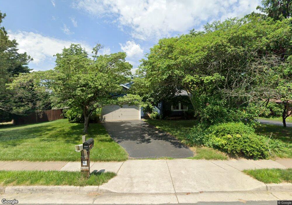
12607 Magna Carta Rd Herndon, VA 20171
Oak Hill NeighborhoodEstimated Value: $752,000 - $817,000
4
Beds
3
Baths
1,890
Sq Ft
$418/Sq Ft
Est. Value
About This Home
This home is located at 12607 Magna Carta Rd, Herndon, VA 20171 and is currently estimated at $790,447, approximately $418 per square foot. 12607 Magna Carta Rd is a home located in Fairfax County with nearby schools including Fox Mill Elementary School, Rachel Carson Middle School, and South Lakes High School.
Ownership History
Date
Name
Owned For
Owner Type
Purchase Details
Closed on
Jun 2, 2003
Sold by
Keefer David M
Bought by
Harada Suely M
Current Estimated Value
Home Financials for this Owner
Home Financials are based on the most recent Mortgage that was taken out on this home.
Original Mortgage
$270,000
Outstanding Balance
$118,959
Interest Rate
5.86%
Mortgage Type
New Conventional
Estimated Equity
$671,488
Create a Home Valuation Report for This Property
The Home Valuation Report is an in-depth analysis detailing your home's value as well as a comparison with similar homes in the area
Home Values in the Area
Average Home Value in this Area
Purchase History
| Date | Buyer | Sale Price | Title Company |
|---|---|---|---|
| Harada Suely M | $338,000 | -- |
Source: Public Records
Mortgage History
| Date | Status | Borrower | Loan Amount |
|---|---|---|---|
| Open | Harada Suely M | $270,000 |
Source: Public Records
Tax History Compared to Growth
Tax History
| Year | Tax Paid | Tax Assessment Tax Assessment Total Assessment is a certain percentage of the fair market value that is determined by local assessors to be the total taxable value of land and additions on the property. | Land | Improvement |
|---|---|---|---|---|
| 2025 | $7,652 | $734,230 | $310,000 | $424,230 |
| 2024 | $7,652 | $660,530 | $285,000 | $375,530 |
| 2023 | $7,417 | $657,280 | $285,000 | $372,280 |
| 2022 | $7,080 | $619,110 | $255,000 | $364,110 |
| 2021 | $6,502 | $554,040 | $220,000 | $334,040 |
| 2020 | $6,307 | $532,890 | $220,000 | $312,890 |
| 2019 | $6,308 | $533,000 | $220,000 | $313,000 |
| 2018 | $5,778 | $502,420 | $210,000 | $292,420 |
| 2017 | $5,646 | $486,290 | $210,000 | $276,290 |
| 2016 | $5,537 | $477,910 | $210,000 | $267,910 |
| 2015 | $5,637 | $505,130 | $210,000 | $295,130 |
| 2014 | $5,326 | $478,270 | $205,000 | $273,270 |
Source: Public Records
Map
Nearby Homes
- 12402 Brown Fox Way
- 2442 Arctic Fox Way
- 12388 Copenhagen Ct
- 2629 New Banner Ln
- 12574 Quincy Adams Ct
- 2704 Viking Dr
- 2410 Dakota Lakes Dr
- 13032 Monterey Estates Dr
- 2317 Freetown Ct Unit 2B
- 2725 Robaleed Way
- 2418 Ridgehampton Ct
- 13103 Anvil Place
- 2273 Hunters Run Dr
- 2203 Hunters Run Dr
- 13104 Meadow Hall Ct
- 12768 Sunrise Valley Dr
- 13083 Rose Petal Cir
- 2700 Reign St
- 13133 Park Crescent Cir
- 11824 Breton Ct Unit 24A
- 12605 Magna Carta Rd
- 12613 Magna Carta Rd
- 12609 Magna Carta Rd
- 2502 Congreve Ct
- 12611 Magna Carta Rd
- 12608 Magna Carta Rd
- 12606 Magna Carta Rd
- 12615 Magna Carta Rd
- 12612 Magna Carta Rd
- 2504 Congreve Ct
- 12604 Magna Carta Rd
- 12619 Magna Carta Rd
- 12617 Magna Carta Rd
- 2527 Oakhampton Place
- 2504 Arnsley Dr
- 2506 Congreve Ct
- 12603 Magna Carta Rd
- 2503 Arnsley Dr
- 12602 Magna Carta Rd
- 12519 Arnsley Ct