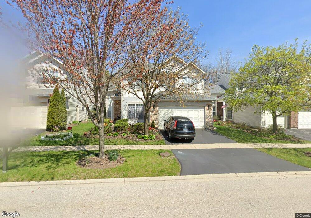
12608 Meadow Cir Unit 2 Lake Bluff, IL 60044
Estimated Value: $592,901 - $654,000
--
Bed
4
Baths
2,417
Sq Ft
$257/Sq Ft
Est. Value
About This Home
This home is located at 12608 Meadow Cir Unit 2, Lake Bluff, IL 60044 and is currently estimated at $620,475, approximately $256 per square foot. 12608 Meadow Cir Unit 2 is a home located in Lake County with nearby schools including Lake Bluff Elementary School, Lake Bluff Middle School, and Lake Forest High School.
Ownership History
Date
Name
Owned For
Owner Type
Purchase Details
Closed on
Jul 14, 1997
Sold by
Cole Taylor Bank
Bought by
Lin Wanrong and Fu Yifeng
Current Estimated Value
Home Financials for this Owner
Home Financials are based on the most recent Mortgage that was taken out on this home.
Original Mortgage
$204,000
Interest Rate
7.54%
Create a Home Valuation Report for This Property
The Home Valuation Report is an in-depth analysis detailing your home's value as well as a comparison with similar homes in the area
Home Values in the Area
Average Home Value in this Area
Purchase History
| Date | Buyer | Sale Price | Title Company |
|---|---|---|---|
| Lin Wanrong | $170,333 | Chicago Title Insurance Co |
Source: Public Records
Mortgage History
| Date | Status | Borrower | Loan Amount |
|---|---|---|---|
| Previous Owner | Lin Wanrong | $204,000 |
Source: Public Records
Tax History Compared to Growth
Tax History
| Year | Tax Paid | Tax Assessment Tax Assessment Total Assessment is a certain percentage of the fair market value that is determined by local assessors to be the total taxable value of land and additions on the property. | Land | Improvement |
|---|---|---|---|---|
| 2024 | $12,476 | $181,652 | $43,645 | $138,007 |
| 2023 | $10,762 | $167,452 | $40,233 | $127,219 |
| 2022 | $10,762 | $146,837 | $35,280 | $111,557 |
| 2021 | $10,505 | $145,571 | $34,976 | $110,595 |
| 2020 | $10,283 | $146,376 | $35,169 | $111,207 |
| 2019 | $9,926 | $143,689 | $34,523 | $109,166 |
| 2018 | $9,594 | $141,142 | $35,930 | $105,212 |
| 2017 | $9,366 | $138,782 | $35,329 | $103,453 |
| 2016 | $9,503 | $139,049 | $35,396 | $103,653 |
| 2015 | $9,390 | $130,932 | $33,330 | $97,602 |
| 2014 | $9,486 | $132,235 | $35,909 | $96,326 |
| 2012 | $8,923 | $133,382 | $36,220 | $97,162 |
Source: Public Records
Map
Nearby Homes
- 717 Burris Ave
- 1004 Jenkisson Ave
- 13000 W Heiden Cir Unit 3105
- 11 Shagbark Rd
- 1019 Rockland Rd
- 511 Rockland Rd
- 307 Forest View Dr
- 2020 Knollwood Rd
- 1061 Green Bay Rd
- 230 Bayshore Dr
- 233 Kohl Ave
- 188 Melvin Dr
- 205 Bradford Ct
- 1200 Regency Ln
- 505 Lincoln Ave
- 14355 Spring Meadow Ct
- 2920 22nd Place
- 860 Gage Ln
- 950 Gage Ln
- 1625 Churchill Ct
- 12612 Meadow Cir
- 12604 Meadow Cir Unit 2
- 12616 Meadow Cir
- 12600 Meadow Cir
- 29660 N Birch Ave
- 29656 N Birch Ave Unit 2
- 29664 N Birch Ave
- 29652 N Birch Ave Unit 2
- 12596 Meadow Cir Unit 2
- 12620 Meadow Cir
- 12601 Meadow Cir Unit 2
- 12605 Meadow Cir
- 12597 Meadow Cir
- 29668 N Birch Ave
- 12611 Meadow Cir Unit 2
- 29648 N Birch Ave
- 12589 Meadow Cir
- 12592 Meadow Cir
- 12615 Meadow Cir
- 12583 Meadow Cir