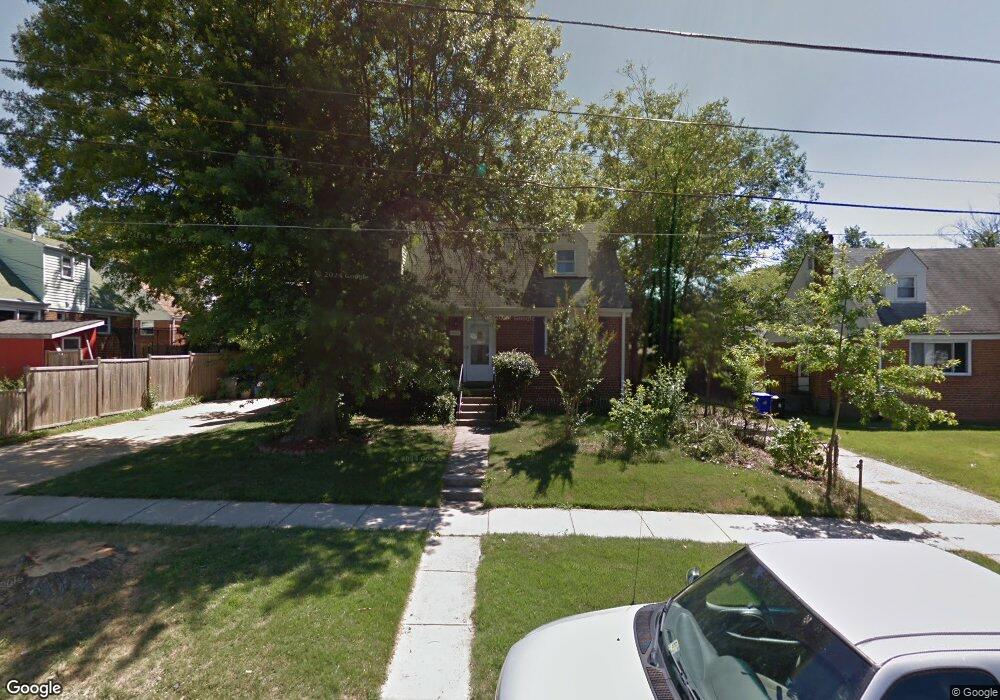
12609 Dean Rd Silver Spring, MD 20906
Connecticut Avenue Park NeighborhoodEstimated Value: $461,111 - $545,000
Studio
2
Baths
1,350
Sq Ft
$373/Sq Ft
Est. Value
About This Home
This home is located at 12609 Dean Rd, Silver Spring, MD 20906 and is currently estimated at $503,028, approximately $372 per square foot. 12609 Dean Rd is a home located in Montgomery County with nearby schools including Weller Road Elementary School, A. Mario Loiederman Middle School, and Wheaton High School.
Ownership History
Date
Name
Owned For
Owner Type
Purchase Details
Closed on
Sep 4, 2024
Sold by
Marquez Rigoberto and Marquez Virginia
Bought by
Marquez Rigoberto and Marquez Virginia
Current Estimated Value
Purchase Details
Closed on
Jan 30, 2003
Sold by
Lancaster Deborah A
Bought by
Marquez Rigoberto and Marquez Virginia
Purchase Details
Closed on
Aug 15, 2002
Sold by
Lancaster Deborah A
Bought by
Lancaster Deborah A
Purchase Details
Closed on
Jul 16, 1998
Sold by
Obrien Stephen E and Obrien F Obrien J
Bought by
Deborah A Lancaster
Create a Home Valuation Report for This Property
The Home Valuation Report is an in-depth analysis detailing your home's value as well as a comparison with similar homes in the area
Home Values in the Area
Average Home Value in this Area
Purchase History
| Date | Buyer | Sale Price | Title Company |
|---|---|---|---|
| Marquez Rigoberto | -- | None Listed On Document | |
| Marquez Rigoberto | -- | None Listed On Document | |
| Marquez Rigoberto | $255,000 | -- | |
| Lancaster Deborah A | -- | -- | |
| Deborah A Lancaster | $145,000 | -- |
Source: Public Records
Tax History
| Year | Tax Paid | Tax Assessment Tax Assessment Total Assessment is a certain percentage of the fair market value that is determined by local assessors to be the total taxable value of land and additions on the property. | Land | Improvement |
|---|---|---|---|---|
| 2025 | $5,008 | $390,300 | $191,800 | $198,500 |
| 2024 | $5,008 | $371,533 | $0 | $0 |
| 2023 | $5,460 | $352,767 | $0 | $0 |
| 2022 | $3,647 | $334,000 | $169,800 | $164,200 |
| 2021 | $3,424 | $330,867 | $0 | $0 |
| 2020 | $3,424 | $327,733 | $0 | $0 |
| 2019 | $3,356 | $324,600 | $154,800 | $169,800 |
| 2018 | $3,151 | $308,300 | $0 | $0 |
| 2017 | $3,018 | $292,000 | $0 | $0 |
| 2016 | -- | $275,700 | $0 | $0 |
| 2015 | $2,501 | $269,400 | $0 | $0 |
| 2014 | $2,501 | $263,100 | $0 | $0 |
Source: Public Records
Map
Nearby Homes
- 12605 Bluhill Rd
- 12816 Valleywood Dr
- 3409 Janet Rd
- 12420 Feldon St
- 12929 Valleywood Dr
- 12800 Connecticut Ave
- 12220 Centerhill St
- 12106 Bluhill Rd
- 2715 Randolph Rd
- 13116 Estelle Rd
- 3410 Embry St
- 12124 Livingston St
- 3701 Kenway St
- 13130 Valleywood Dr
- 2829 Vixen Ln
- 12300 Downer Dr
- 135 Klee Aly
- 2511 Auden Dr
- 13316 Foxhall Dr
- 169 Kandinsky Loop
- 12607 Dean Rd
- 3316 Harrell St
- 3315 Farthing Dr
- 3314 Harrell St
- 3313 Farthing Dr
- 3312 Harrell St
- 12608 Dean Rd
- 3401 Farthing Dr
- 3400 Harrell St
- 3311 Farthing Dr
- 3310 Harrell St
- 3314 Farthing Dr
- 12701 Dean Rd
- 3403 Farthing Dr
- 3402 Harrell St
- 3309 Farthing Dr
- 3312 Farthing Dr
- 3315 Harrell St
- 3400 Farthing Dr
- 3310 Farthing Dr
Your Personal Tour Guide
Ask me questions while you tour the home.