1261 Fryer Rd Shiloh, GA 31826
Estimated Value: $98,000 - $474,000
3
Beds
1
Bath
1,512
Sq Ft
$140/Sq Ft
Est. Value
About This Home
This home is located at 1261 Fryer Rd, Shiloh, GA 31826 and is currently estimated at $211,778, approximately $140 per square foot. 1261 Fryer Rd is a home located in Talbot County with nearby schools including Central School.
Ownership History
Date
Name
Owned For
Owner Type
Purchase Details
Closed on
May 2, 2017
Sold by
York Heath
Bought by
Postell Max Dean
Current Estimated Value
Purchase Details
Closed on
Oct 29, 2000
Sold by
First Bank National
Bought by
York Heath
Purchase Details
Closed on
Jun 16, 2000
Sold by
Ligon Joseph and Ligon Janice
Bought by
First Bank National
Purchase Details
Closed on
Aug 1, 1996
Bought by
Ligon Joseph and Ligon Janice
Purchase Details
Closed on
Jul 12, 1995
Bought by
Head Leroy and Head Katheline
Purchase Details
Closed on
Jan 1, 1991
Bought by
Ligon
Create a Home Valuation Report for This Property
The Home Valuation Report is an in-depth analysis detailing your home's value as well as a comparison with similar homes in the area
Home Values in the Area
Average Home Value in this Area
Purchase History
| Date | Buyer | Sale Price | Title Company |
|---|---|---|---|
| Postell Max Dean | $50,000 | -- | |
| York Heath | -- | -- | |
| First Bank National | -- | -- | |
| Ligon Joseph | -- | -- | |
| Head Leroy | $59,100 | -- | |
| Ligon | -- | -- |
Source: Public Records
Tax History Compared to Growth
Tax History
| Year | Tax Paid | Tax Assessment Tax Assessment Total Assessment is a certain percentage of the fair market value that is determined by local assessors to be the total taxable value of land and additions on the property. | Land | Improvement |
|---|---|---|---|---|
| 2024 | $1,069 | $28,235 | $11,035 | $17,200 |
| 2023 | $980 | $25,997 | $10,714 | $15,283 |
| 2022 | $817 | $26,526 | $10,714 | $15,812 |
| 2021 | $893 | $25,210 | $9,316 | $15,894 |
| 2020 | $840 | $23,462 | $9,316 | $14,146 |
| 2019 | $843 | $23,560 | $9,316 | $14,244 |
| 2018 | $709 | $23,560 | $9,316 | $14,244 |
| 2017 | $841 | $23,560 | $9,316 | $14,244 |
| 2016 | $870 | $24,416 | $9,316 | $15,100 |
| 2015 | -- | $29,703 | $14,604 | $15,100 |
| 2013 | -- | $31,054 | $16,470 | $14,584 |
Source: Public Records
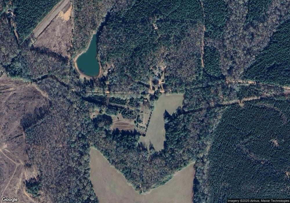
Map
Nearby Homes
- 324 ACRES Hunsinger Rd
- 232 Chestnut Grove Rd
- 2450 Chestnut Grove Rd Unit 2
- 2450 Chestnut Grove Rd
- 2819 Chestnut Grove Rd
- 1755 Hunsinger Rd
- 1540 Flint Hill Hwy
- 7223 Scenic Heights
- 3.26 ACRES Mountain Ridge Dr
- 624 Sunset Dr
- LOT 188 Pinecrest Dr
- 621 Mayes Way
- 408 Broad St
- 604 Farris Blvd
- 312 2nd Ave
- 36 E 2nd St
- 514 Farris Blvd
- 380 Elm St
- 522 4th St
- 922 Linda Ln
- 1356 Chestnut Grove Rd
- 1140 Chestnut Grove Rd
- 1510 Chestnut Grove Rd
- 901 Chestnut Grove Rd
- 871 Chestnut Grove Rd
- 841 Chestnut Grove Rd
- 0 Fryer Rd
- 735 Chestnut Grove Rd
- 717 Chestnut Grove Rd
- 192 Boulton Rd
- 688 Chestnut Grove Rd
- 106 Boulton Rd
- 644 Chestnut Grove Rd
- 619 Chestnut Grove Rd
- 75 Boulton Rd
- 75 Boulton Dr
- 120 Chestnut Ridge
- 76 Chestnut Ridge
- 529 Chestnut Grove Rd
- 75 Chestnut Ridge