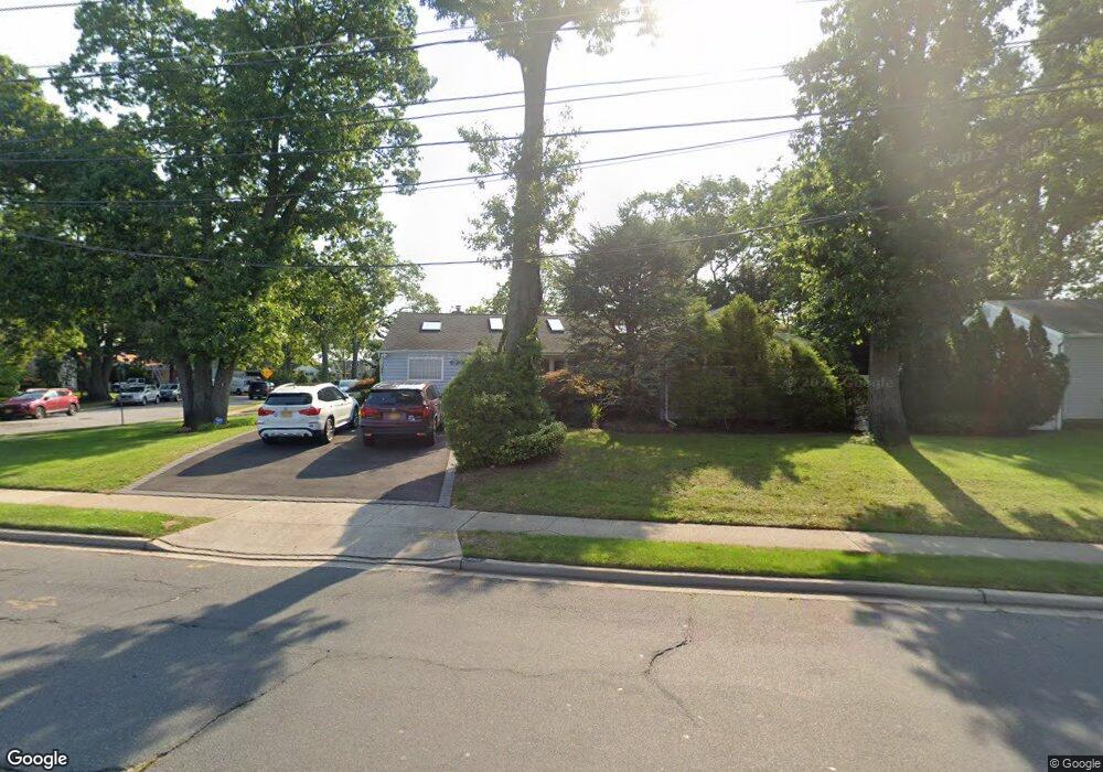
1261 Meadowbrook Rd Merrick, NY 11566
Estimated Value: $805,000 - $828,801
3
Beds
2
Baths
1,559
Sq Ft
$524/Sq Ft
Est. Value
About This Home
This home is located at 1261 Meadowbrook Rd, Merrick, NY 11566 and is currently estimated at $816,901, approximately $523 per square foot. 1261 Meadowbrook Rd is a home located in Nassau County with nearby schools including Merrick Avenue Middle School, Sanford H Calhoun High School, and Sacred Heart School.
Ownership History
Date
Name
Owned For
Owner Type
Purchase Details
Closed on
Jun 14, 2013
Sold by
Taft Linda
Bought by
Garvey George P and Shadlich Christine M
Current Estimated Value
Home Financials for this Owner
Home Financials are based on the most recent Mortgage that was taken out on this home.
Original Mortgage
$399,000
Outstanding Balance
$280,209
Interest Rate
3.51%
Estimated Equity
$536,692
Purchase Details
Closed on
Jul 31, 2008
Sold by
Smith Donna
Bought by
Taft Linda
Create a Home Valuation Report for This Property
The Home Valuation Report is an in-depth analysis detailing your home's value as well as a comparison with similar homes in the area
Home Values in the Area
Average Home Value in this Area
Purchase History
| Date | Buyer | Sale Price | Title Company |
|---|---|---|---|
| Garvey George P | -- | -- | |
| Taft Linda | $150,000 | Mkm Abstract Services Inc |
Source: Public Records
Mortgage History
| Date | Status | Borrower | Loan Amount |
|---|---|---|---|
| Open | Garvey George P | $399,000 |
Source: Public Records
Tax History
| Year | Tax Paid | Tax Assessment Tax Assessment Total Assessment is a certain percentage of the fair market value that is determined by local assessors to be the total taxable value of land and additions on the property. | Land | Improvement |
|---|---|---|---|---|
| 2025 | $14,915 | $515 | $236 | $279 |
| 2024 | $3,831 | $515 | $236 | $279 |
Source: Public Records
Map
Nearby Homes
- 1817 Gardenia Ave
- 1706 Old Mill Rd
- 101 Northridge Ave
- 1415 Rhode Ave
- 204 Maeder Ave
- 1425 Jerusalem Ave Unit 7
- 25 Old Mill Rd
- 37 Orchard St
- 840 Jerusalem Ave
- 1526 Rhode Ave
- 1543 William St
- 20 Iris Ave
- 1750 Henry Rd
- 1277 Jerusalem Ave
- 1259 Jerusalem Ave
- 1531 Merrick Ave
- 45 Richard Ave
- 1355 Sally Ct
- 1709 Camp Ave
- 614 Bond Ct
- 1236 Lednam Ct
- 1265 Meadowbrook Rd
- 1258 Lednam Ct
- 1271 Meadowbrook Rd
- 1266 Lednam Ct
- 1245 Meadowbrook Rd
- 1272 Lednam Ct
- 1278 Lednam Ct
- 1285 Meadowbrook Rd
- 1282 Lednam Ct
- 1247 Lednam Ct
- 1259 Lednam Ct
- 1253 Lednam Ct
- 1265 Lednam Ct
- 1286 Lednam Ct
- 1291 Meadowbrook Rd
- 1292 Lednam Ct
- 1271 Lednam Ct
- 1287 Lednam Ct
- 39 Brixton Rd
Your Personal Tour Guide
Ask me questions while you tour the home.