1261 Salty Bottom Rd Gurley, AL 35748
Estimated Value: $319,000 - $372,000
--
Bed
--
Bath
1,832
Sq Ft
$185/Sq Ft
Est. Value
About This Home
This home is located at 1261 Salty Bottom Rd, Gurley, AL 35748 and is currently estimated at $339,241, approximately $185 per square foot. 1261 Salty Bottom Rd is a home with nearby schools including Madison County Elementary School and Madison County High School.
Ownership History
Date
Name
Owned For
Owner Type
Purchase Details
Closed on
Dec 15, 2016
Sold by
Keith E Black
Bought by
Stone Alex and Stone Brittni
Current Estimated Value
Home Financials for this Owner
Home Financials are based on the most recent Mortgage that was taken out on this home.
Original Mortgage
$196,377
Outstanding Balance
$161,227
Interest Rate
4.16%
Estimated Equity
$178,014
Purchase Details
Closed on
Apr 8, 2009
Sold by
Black Kim D
Bought by
Black Keith E
Home Financials for this Owner
Home Financials are based on the most recent Mortgage that was taken out on this home.
Original Mortgage
$68,150
Interest Rate
4.69%
Mortgage Type
New Conventional
Create a Home Valuation Report for This Property
The Home Valuation Report is an in-depth analysis detailing your home's value as well as a comparison with similar homes in the area
Home Values in the Area
Average Home Value in this Area
Purchase History
| Date | Buyer | Sale Price | Title Company |
|---|---|---|---|
| Stone Alex | -- | -- | |
| Black Keith E | -- | -- |
Source: Public Records
Mortgage History
| Date | Status | Borrower | Loan Amount |
|---|---|---|---|
| Open | Stone Alex | $196,377 | |
| Closed | Stone Alex | -- | |
| Previous Owner | Black Keith E | $68,150 |
Source: Public Records
Tax History Compared to Growth
Tax History
| Year | Tax Paid | Tax Assessment Tax Assessment Total Assessment is a certain percentage of the fair market value that is determined by local assessors to be the total taxable value of land and additions on the property. | Land | Improvement |
|---|---|---|---|---|
| 2024 | $924 | $26,760 | $8,000 | $18,760 |
| 2023 | $905 | $26,260 | $8,000 | $18,260 |
| 2022 | $704 | $21,000 | $4,760 | $16,240 |
| 2021 | $641 | $19,260 | $4,760 | $14,500 |
| 2020 | $604 | $18,240 | $4,750 | $13,490 |
| 2019 | $586 | $17,740 | $4,750 | $12,990 |
| 2018 | $550 | $16,760 | $0 | $0 |
| 2017 | $550 | $16,760 | $0 | $0 |
| 2016 | $550 | $16,760 | $0 | $0 |
| 2015 | $550 | $16,760 | $0 | $0 |
| 2014 | $545 | $16,620 | $0 | $0 |
Source: Public Records
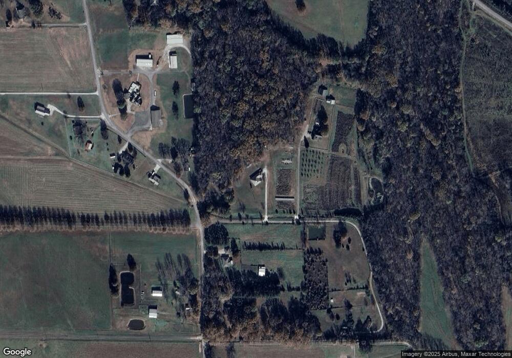
Map
Nearby Homes
- 107 Nolan Dr
- 102 Peyton Cir
- 218 Powell St
- 211 Powell St
- 172 Day Dr
- 216 Grasslands Rd
- 221 Grasslands Rd
- 309 Gilliam Rd
- 1519 Ryland Pike
- 0 Gilliam Rd
- 7137 Hickory Cove Way SE
- 1 Devereux Place
- 109 Jones Cir
- 0 Southard Rd Unit 23804582
- 305 Boulder Trail
- 3608 Maysville Rd NE
- PPin#507136 Moontown Rd
- 111 Cool Cir
- 40 Acres Berry Rd
- 13-06-23-0-001 Highway 72 E
- 1273 Salty Bottom Rd
- 1259 Salty Bottom Rd
- 1229 Salty Bottom Rd
- 1274 Salty Bottom Rd
- 1311 Salty Bottom Rd
- 1296 Salty Bottom Rd
- 1207 Salty Bottom Rd
- 1208 Salty Bottom Rd
- 1415 Salty Bottom Rd
- 1316 Salty Bottom Rd
- 1255 Salty Bottom Rd
- 1320 Salty Bottom Rd
- 1395 Salty Bottom Rd
- 1381 Salty Bottom Rd
- 1413 Salty Bottom Rd
- 1366 Salty Bottom Rd
- 1179 Salty Bottom Rd
- 1121 Salty Bottom Rd
- 1408 Salty Bottom Rd
- 1390 Salty Bottom Rd