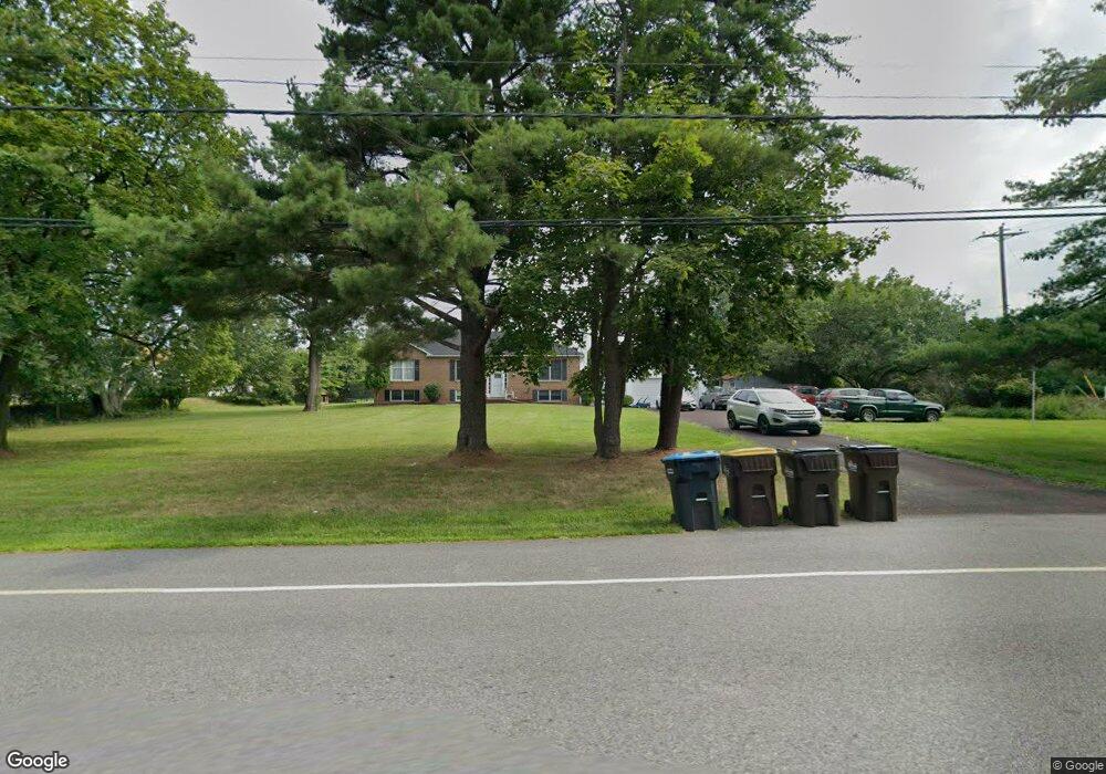
1261 Sumneytown Pike Unit 36 Lansdale, PA 19446
Estimated Value: $410,951
3
Beds
2
Baths
1,684
Sq Ft
$244/Sq Ft
Est. Value
About This Home
This home is located at 1261 Sumneytown Pike Unit 36, Lansdale, PA 19446 and is currently priced at $410,951, approximately $244 per square foot. 1261 Sumneytown Pike Unit 36 is a home located in Montgomery County with nearby schools including Inglewood Elementary School, Penndale Middle School, and North Penn Senior High School.
Ownership History
Date
Name
Owned For
Owner Type
Purchase Details
Closed on
Jan 28, 2019
Sold by
Deutsche Bank National Trust Co
Bought by
Macdonald Daniel and Macdonald Donna
Current Estimated Value
Home Financials for this Owner
Home Financials are based on the most recent Mortgage that was taken out on this home.
Original Mortgage
$159,162
Outstanding Balance
$139,647
Interest Rate
4.4%
Mortgage Type
VA
Purchase Details
Closed on
Jul 19, 1999
Sold by
Homeowners Concept Inc
Bought by
Bankers Trust Company Of California Na and Vendee Mtg Trust 1995-1
Purchase Details
Closed on
Feb 23, 1995
Sold by
Va
Bought by
Bankers Trust Company Of California Na and Vendee Mtg Trust 1995-1
Purchase Details
Closed on
Jul 15, 1994
Sold by
Lalley Francis P
Bought by
Va
Create a Home Valuation Report for This Property
The Home Valuation Report is an in-depth analysis detailing your home's value as well as a comparison with similar homes in the area
Home Values in the Area
Average Home Value in this Area
Purchase History
| Date | Buyer | Sale Price | Title Company |
|---|---|---|---|
| Macdonald Daniel | $122,000 | None Available | |
| Bankers Trust Company Of California Na | $165,400 | -- | |
| Bankers Trust Company Of California Na | $123,500 | -- | |
| Va | -- | -- |
Source: Public Records
Mortgage History
| Date | Status | Borrower | Loan Amount |
|---|---|---|---|
| Open | Macdonald Daniel | $159,162 |
Source: Public Records
Tax History Compared to Growth
Tax History
| Year | Tax Paid | Tax Assessment Tax Assessment Total Assessment is a certain percentage of the fair market value that is determined by local assessors to be the total taxable value of land and additions on the property. | Land | Improvement |
|---|---|---|---|---|
| 2025 | -- | $189,940 | $56,730 | $133,210 |
| 2024 | -- | $189,940 | $56,730 | $133,210 |
| 2023 | $0 | $189,940 | $56,730 | $133,210 |
| 2022 | $6,915 | $189,940 | $56,730 | $133,210 |
| 2021 | $6,715 | $189,940 | $56,730 | $133,210 |
| 2020 | $6,411 | $189,940 | $56,730 | $133,210 |
| 2019 | $6,300 | $189,940 | $56,730 | $133,210 |
| 2018 | $1,454 | $189,940 | $56,730 | $133,210 |
| 2017 | $6,049 | $189,940 | $56,730 | $133,210 |
| 2016 | $5,974 | $189,940 | $56,730 | $133,210 |
| 2015 | $5,725 | $189,940 | $56,730 | $133,210 |
| 2014 | $5,725 | $189,940 | $56,730 | $133,210 |
Source: Public Records
Map
Nearby Homes
- 177 Oberlin Terrace Unit 18-L
- 144 Oberlin Terrace Unit 15-B
- 1653 Bridle Path Dr
- 172 Oberlin Terrace
- 108 Hickory Ct
- 210 Berwick Place Unit 20E
- 1255 Scobee Dr
- 1627 Clearbrook Rd
- 1381 Village Way
- 1131 Walnut Ln
- 1109 Walnut Ln Unit 59
- 1107 Jarvis Ln
- 980 Jacks Ln
- 1511 Susan Dr
- 1231 Meadowview Cir
- 1207B Crosshill Ct
- 907A Stockton Ct
- 1040 Hunter Hill Dr
- 1808 Beth Ln
- 846 Fulton Ave
- 135 Oxford Rd
- 137 Oxford Rd
- 133 Oxford Rd
- 1262 Sumneytown Pike
- 1280 Sumneytown Pike
- 1290 Sumneytown Pike
- 130 Oxford Rd
- 131 Oxford Rd
- 1264 Sumneytown Pike
- 128 Oxford Rd
- 1276 Sumneytown Pike
- 126 Oxford Rd
- 1300 Sumneytown Pike
- 1321 Sumneytown Pike
- 129 Oxford Rd
- 1331 Sumneytown Pike
- 1310 Sumneytown Pike
- 124 Oxford Rd
- 1330 Steven Ln
- 1274 Sumneytown Pike