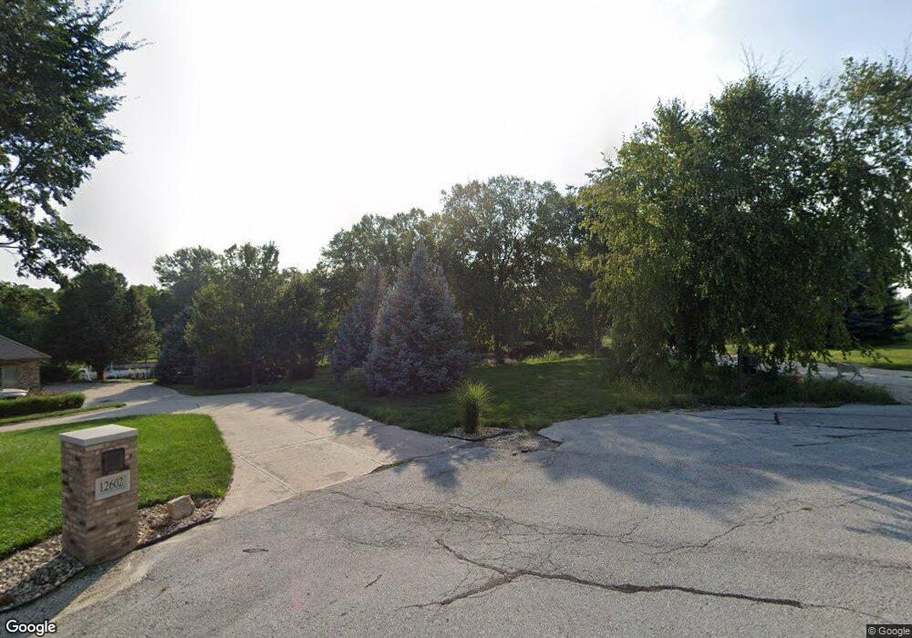
12610 N 189th Cir Bennington, NE 68007
Estimated Value: $615,000 - $878,598
3
Beds
3
Baths
3,501
Sq Ft
$224/Sq Ft
Est. Value
About This Home
This home is located at 12610 N 189th Cir, Bennington, NE 68007 and is currently estimated at $782,866, approximately $223 per square foot. 12610 N 189th Cir is a home located in Douglas County with nearby schools including Bennington High School.
Ownership History
Date
Name
Owned For
Owner Type
Purchase Details
Closed on
Sep 4, 2008
Sold by
Bank Of New York Tr
Bought by
Glandt Curtis D
Current Estimated Value
Purchase Details
Closed on
May 22, 2008
Sold by
Recontrust Company Tr
Bought by
Bank Of New York Tr
Purchase Details
Closed on
Oct 11, 2002
Sold by
Security Homes Inc
Bought by
Rokes John W and Rokes Tracy L
Home Financials for this Owner
Home Financials are based on the most recent Mortgage that was taken out on this home.
Original Mortgage
$291,250
Interest Rate
6.09%
Purchase Details
Closed on
Apr 25, 2002
Sold by
Wiese Development Corp Inc
Bought by
Security Homes Inc
Home Financials for this Owner
Home Financials are based on the most recent Mortgage that was taken out on this home.
Original Mortgage
$286,800
Interest Rate
7.11%
Mortgage Type
Construction
Create a Home Valuation Report for This Property
The Home Valuation Report is an in-depth analysis detailing your home's value as well as a comparison with similar homes in the area
Home Values in the Area
Average Home Value in this Area
Purchase History
| Date | Buyer | Sale Price | Title Company |
|---|---|---|---|
| Glandt Curtis D | $282,900 | -- | |
| Bank Of New York Tr | $333,600 | -- | |
| Rokes John W | $365,000 | -- | |
| Security Homes Inc | $70,000 | Liberty Title |
Source: Public Records
Mortgage History
| Date | Status | Borrower | Loan Amount |
|---|---|---|---|
| Previous Owner | Rokes John W | $291,250 | |
| Previous Owner | Security Homes Inc | $286,800 |
Source: Public Records
Tax History Compared to Growth
Tax History
| Year | Tax Paid | Tax Assessment Tax Assessment Total Assessment is a certain percentage of the fair market value that is determined by local assessors to be the total taxable value of land and additions on the property. | Land | Improvement |
|---|---|---|---|---|
| 2025 | $12,571 | $633,100 | $123,200 | $509,900 |
| 2024 | $10,819 | $633,100 | $123,200 | $509,900 |
| 2023 | $10,819 | $456,500 | $123,200 | $333,300 |
| 2022 | $11,606 | $456,500 | $123,200 | $333,300 |
| 2021 | $11,611 | $456,500 | $123,200 | $333,300 |
| 2020 | $11,688 | $456,500 | $123,200 | $333,300 |
| 2019 | $9,976 | $390,600 | $76,700 | $313,900 |
| 2018 | $10,002 | $390,600 | $76,700 | $313,900 |
| 2017 | $10,335 | $390,600 | $76,700 | $313,900 |
| 2016 | $10,687 | $390,600 | $76,700 | $313,900 |
| 2015 | $11,090 | $390,600 | $76,700 | $313,900 |
| 2014 | $11,090 | $390,600 | $76,700 | $313,900 |
Source: Public Records
Map
Nearby Homes
- TBD
- 13205 N 192nd St
- 19640 Pawnee Rd
- 12502 N 178th Cir
- 10913 N 159 Ave Unit Lot 9
- 11010 N 161 St Unit Lot 68
- 11123 N 161 Ave Unit Lot 47
- 16001 Abigail St Unit Lot 19
- 15959 Abigail St Unit Lot 17
- 11131 N 161 Ave
- 11004 N 161 Ave Unit Lot 33
- Lot 26 Bennington Park Land W
- Lot 79 Bennington Park Land W
- Lot 78 Bennington Park Land W
- Lot 77 Bennington Park Land W
- Lot 75 Bennington Park Land W
- Lot 73 Bennington Park Land W
- Lot 65 Bennington Park Land W
- Lot 36 Bennington Park Land W
- Lot 38 Bennington Park Land W
- 12602 N 189th Cir
- 12609 N 189th Cir
- 19111 Northern Hills Dr
- 18805 Northern Hills Dr
- 18929 Northern Hills Dr
- 12405 N 192nd St
- 19110 Northern Hills Dr
- Lot 192
- 18725 Northern Hills Dr
- 18810 Northern Hills Dr
- 18930 Northern Hills Dr
- 13014 N 190th Cir
- 12100 N 192nd St
- 18710 Northern Hills Dr
- 12820 N 189th Cir
- 12121 N 192nd St
- 12121 N 192nd St
- 19001 Shongaska Rd
- 12808 N 192nd St
- 13102 N 190th Cir
