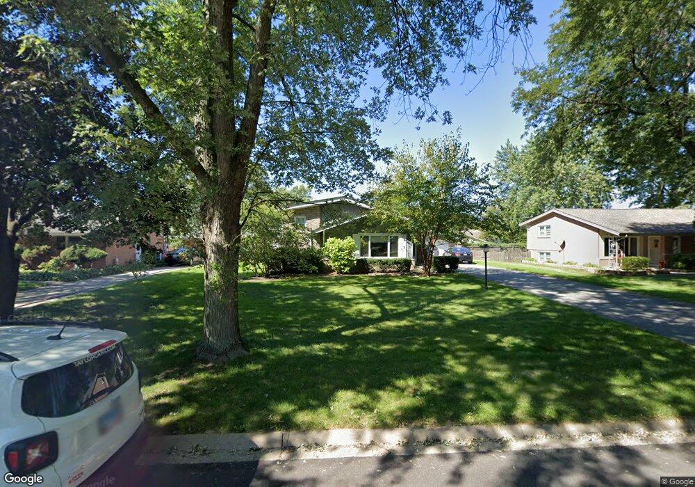
12612 S Massasoit Ave Palos Heights, IL 60463
Navajo Hills NeighborhoodEstimated Value: $327,000 - $406,000
3
Beds
2
Baths
1,289
Sq Ft
$274/Sq Ft
Est. Value
About This Home
This home is located at 12612 S Massasoit Ave, Palos Heights, IL 60463 and is currently estimated at $353,423, approximately $274 per square foot. 12612 S Massasoit Ave is a home located in Cook County with nearby schools including Chippewa Elementary School, Navajo Heights Elementary School, and Independence Jr High School.
Ownership History
Date
Name
Owned For
Owner Type
Purchase Details
Closed on
Jun 3, 2005
Sold by
Weston Michael and Weston Michelle L
Bought by
Stromsky Joseph G and Stromsky Kristen
Current Estimated Value
Home Financials for this Owner
Home Financials are based on the most recent Mortgage that was taken out on this home.
Original Mortgage
$85,000
Interest Rate
5.91%
Mortgage Type
Fannie Mae Freddie Mac
Purchase Details
Closed on
Apr 20, 1995
Sold by
Cali Charles J and Cali Dolores
Bought by
Lesiak Mark G and Morris Susan J
Home Financials for this Owner
Home Financials are based on the most recent Mortgage that was taken out on this home.
Original Mortgage
$145,350
Interest Rate
7.25%
Create a Home Valuation Report for This Property
The Home Valuation Report is an in-depth analysis detailing your home's value as well as a comparison with similar homes in the area
Home Values in the Area
Average Home Value in this Area
Purchase History
| Date | Buyer | Sale Price | Title Company |
|---|---|---|---|
| Stromsky Joseph G | $285,000 | Multiple | |
| Lesiak Mark G | $153,000 | -- |
Source: Public Records
Mortgage History
| Date | Status | Borrower | Loan Amount |
|---|---|---|---|
| Closed | Stromsky Joseph G | $85,000 | |
| Previous Owner | Lesiak Mark G | $145,350 |
Source: Public Records
Tax History Compared to Growth
Tax History
| Year | Tax Paid | Tax Assessment Tax Assessment Total Assessment is a certain percentage of the fair market value that is determined by local assessors to be the total taxable value of land and additions on the property. | Land | Improvement |
|---|---|---|---|---|
| 2024 | $5,916 | $25,484 | $7,115 | $18,369 |
| 2023 | $5,350 | $25,484 | $7,115 | $18,369 |
| 2022 | $5,350 | $20,244 | $6,098 | $14,146 |
| 2021 | $5,114 | $20,243 | $6,098 | $14,145 |
| 2020 | $5,108 | $20,243 | $6,098 | $14,145 |
| 2019 | $5,288 | $21,321 | $5,590 | $15,731 |
| 2018 | $5,016 | $21,321 | $5,590 | $15,731 |
| 2017 | $5,071 | $21,321 | $5,590 | $15,731 |
| 2016 | $4,773 | $18,571 | $4,573 | $13,998 |
| 2015 | $4,655 | $18,571 | $4,573 | $13,998 |
| 2014 | $4,584 | $18,571 | $4,573 | $13,998 |
| 2013 | $4,957 | $21,259 | $4,573 | $16,686 |
Source: Public Records
Map
Nearby Homes
- 12613 S Parkside Ave
- 12649 S Parkside Ave
- 12655 S Parkside Ave
- 9208 S Monitor Ave
- 5544 W Cal Sag Rd
- 12620 S Alpine Dr Unit 6
- 12620 S Alpine Dr Unit 4
- 12620 S Alpine Dr Unit 8
- 12750 Carriage Ln Unit F2
- 12557 S Mason Ave
- 5715 Park Place Unit J2
- 5715 Park Place Unit K1
- 5844 W 124th St
- 5712 128th St Unit 1A
- 5704 W 128th St Unit 1C
- 12513 S Mcvickers Ave
- 12857 S Austin Ave
- 12732 S Austin Ave
- 6052 W 128th St
- 12801 W Playfield Dr
- 12606 S Massasoit Ave
- 12618 S Massasoit Ave
- 12630 S Massasoit Ave
- 12613 S Menard Ave
- 12600 S Massasoit Ave
- 12607 S Menard Ave
- 12619 S Menard Ave
- 12624 S Massasoit Ave
- 12613 S Massasoit Ave
- 12601 S Menard Ave
- 12607 S Massasoit Ave
- 12619 S Massasoit Ave
- 12601 S Massasoit Ave
- 12625 S Massasoit Ave
- 12631 S Menard Ave
- 12560 S Massasoit Ave
- 12631 S Massasoit Ave
- 12554 S Menard Ave
- 12560 S Menard Ave
- 12561 S Menard Ave