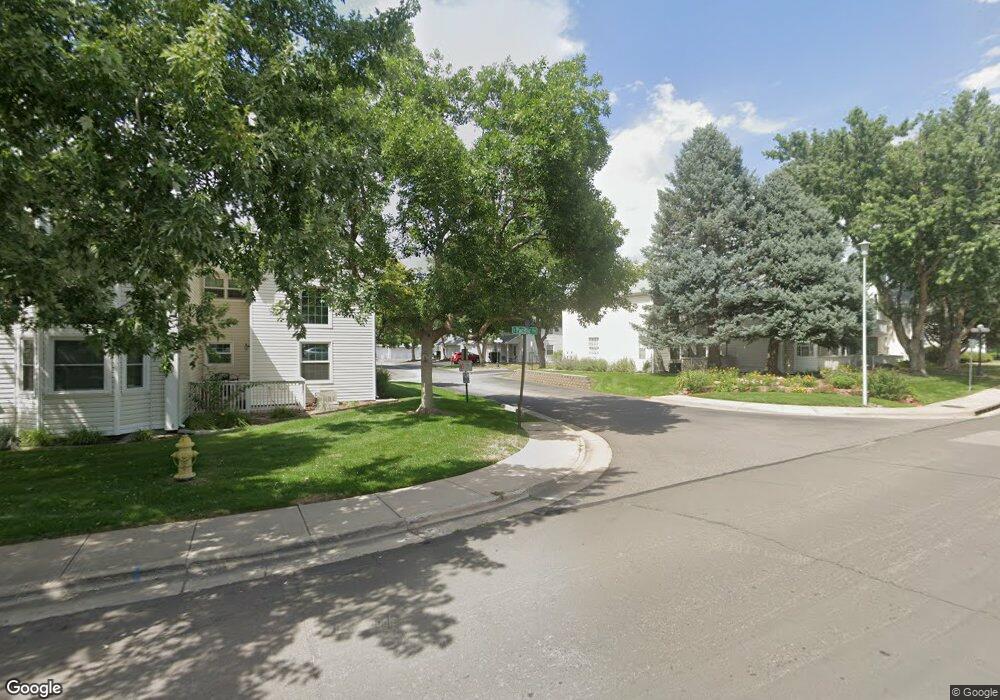
12615 E Pacific Cir Unit C Aurora, CO 80014
Heather Ridge NeighborhoodEstimated Value: $293,063 - $320,000
2
Beds
2
Baths
1,241
Sq Ft
$246/Sq Ft
Est. Value
About This Home
This home is located at 12615 E Pacific Cir Unit C, Aurora, CO 80014 and is currently estimated at $305,516, approximately $246 per square foot. 12615 E Pacific Cir Unit C is a home located in Arapahoe County with nearby schools including Ponderosa Elementary School, Prairie Middle School, and Overland High School.
Ownership History
Date
Name
Owned For
Owner Type
Purchase Details
Closed on
Dec 9, 2020
Sold by
Mcdonald Jacqueline Sue and Brock Jacqueline Sue
Bought by
Hill Tiara R and Hill Natalie R
Current Estimated Value
Home Financials for this Owner
Home Financials are based on the most recent Mortgage that was taken out on this home.
Original Mortgage
$265,010
Outstanding Balance
$234,201
Interest Rate
2.8%
Mortgage Type
FHA
Estimated Equity
$71,315
Purchase Details
Closed on
Sep 6, 1988
Sold by
Secretary Of Housing & Urban Dev
Bought by
Brock Jacqueline Sue
Purchase Details
Closed on
Feb 5, 1987
Sold by
Conversion Arapco
Bought by
Secretary Of Housing & Urban Dev
Purchase Details
Closed on
Oct 1, 1984
Sold by
Conversion Arapco
Bought by
Conversion Arapco
Purchase Details
Closed on
Oct 1, 1982
Bought by
Conversion Arapco
Create a Home Valuation Report for This Property
The Home Valuation Report is an in-depth analysis detailing your home's value as well as a comparison with similar homes in the area
Home Values in the Area
Average Home Value in this Area
Purchase History
| Date | Buyer | Sale Price | Title Company |
|---|---|---|---|
| Hill Tiara R | $269,900 | Chicago Title | |
| Brock Jacqueline Sue | -- | -- | |
| Secretary Of Housing & Urban Dev | -- | -- | |
| Conversion Arapco | -- | -- | |
| Conversion Arapco | -- | -- |
Source: Public Records
Mortgage History
| Date | Status | Borrower | Loan Amount |
|---|---|---|---|
| Open | Hill Tiara R | $265,010 |
Source: Public Records
Tax History
| Year | Tax Paid | Tax Assessment Tax Assessment Total Assessment is a certain percentage of the fair market value that is determined by local assessors to be the total taxable value of land and additions on the property. | Land | Improvement |
|---|---|---|---|---|
| 2025 | $1,322 | $21,144 | -- | -- |
| 2024 | $1,166 | $16,851 | -- | -- |
| 2023 | $1,166 | $16,851 | $0 | $0 |
| 2022 | $1,220 | $16,840 | $0 | $0 |
| 2021 | $1,213 | $16,840 | $0 | $0 |
| 2020 | $1,201 | $16,724 | $0 | $0 |
| 2019 | $1,159 | $16,724 | $0 | $0 |
| 2018 | $951 | $12,895 | $0 | $0 |
| 2017 | $937 | $12,895 | $0 | $0 |
| 2016 | $730 | $9,417 | $0 | $0 |
| 2015 | $694 | $9,417 | $0 | $0 |
| 2014 | $594 | $7,140 | $0 | $0 |
| 2013 | -- | $8,100 | $0 | $0 |
Source: Public Records
Map
Nearby Homes
- 12655 E Pacific Cir Unit C
- 12685 E Pacific Cir Unit C
- 12543 E Pacific Cir Unit D
- 12523 E Pacific Cir Unit E
- 2136 S Scranton Way
- 12406 E Pacific Cir Unit D
- 12501 E Evans Cir Unit A
- 2120 S Vaughn Way Unit 102F
- 2150 S Vaughn Way Unit 204D
- 2130 S Vaughn Way Unit 202E
- 2130 S Vaughn Way Unit 205E
- 2231 S Vaughn Way Unit 118B
- 2231 S Vaughn Way Unit 315B
- 2231 S Vaughn Way Unit 114B
- 2231 S Vaughn Way Unit 216B
- 2101 S Victor St Unit B
- 2281 S Vaughn Way Unit 111A
- 2281 S Vaughn Way Unit 104A
- 13027 E Colorado Ave
- 13200 E Jewell Ave Unit 104
- 12615 E Pacific Cir Unit F
- 12615 E Pacific Cir Unit E
- 12615 E Pacific Cir Unit D
- 12615 E Pacific Cir Unit B
- 12615 E Pacific Cir Unit A
- 12695 E Pacific Cir Unit F
- 12695 E Pacific Cir Unit E
- 12695 E Pacific Cir Unit D
- 12695 E Pacific Cir Unit C
- 12695 E Pacific Cir Unit B
- 12695 E Pacific Cir Unit A
- 12685 E Pacific Cir Unit F
- 12685 E Pacific Cir Unit A
- 12625 E Pacific Cir Unit F
- 12625 E Pacific Cir Unit E
- 12625 E Pacific Cir Unit D
- 12625 E Pacific Cir Unit C
- 12625 E Pacific Cir Unit B
- 12625 E Pacific Cir Unit A
- 12675 E Pacific Cir Unit F
Your Personal Tour Guide
Ask me questions while you tour the home.