12615 N Old Wire Rd Rogers, AR 72756
Estimated Value: $459,000 - $516,000
--
Bed
--
Bath
2,177
Sq Ft
$227/Sq Ft
Est. Value
About This Home
This home is located at 12615 N Old Wire Rd, Rogers, AR 72756 and is currently estimated at $494,098, approximately $226 per square foot. 12615 N Old Wire Rd is a home with nearby schools including Grace Hill Elementary School, Oakdale Middle School, and Rogers Heritage High School.
Ownership History
Date
Name
Owned For
Owner Type
Purchase Details
Closed on
Oct 22, 2012
Sold by
Johnson Charles G
Bought by
Kraner William R and Kraner Erin R
Current Estimated Value
Purchase Details
Closed on
Jan 28, 2011
Sold by
Sartin Landon and Sartin Krista
Bought by
Kraner William R and Kraner Erin R
Home Financials for this Owner
Home Financials are based on the most recent Mortgage that was taken out on this home.
Original Mortgage
$130,603
Interest Rate
4.75%
Mortgage Type
FHA
Create a Home Valuation Report for This Property
The Home Valuation Report is an in-depth analysis detailing your home's value as well as a comparison with similar homes in the area
Home Values in the Area
Average Home Value in this Area
Purchase History
| Date | Buyer | Sale Price | Title Company |
|---|---|---|---|
| Kraner William R | $19,000 | First National Title Company | |
| Kraner William R | $134,000 | Mercury Title Llc |
Source: Public Records
Mortgage History
| Date | Status | Borrower | Loan Amount |
|---|---|---|---|
| Previous Owner | Kraner William R | $130,603 |
Source: Public Records
Tax History Compared to Growth
Tax History
| Year | Tax Paid | Tax Assessment Tax Assessment Total Assessment is a certain percentage of the fair market value that is determined by local assessors to be the total taxable value of land and additions on the property. | Land | Improvement |
|---|---|---|---|---|
| 2025 | $3,436 | $89,659 | $20,000 | $69,659 |
| 2024 | $3,093 | $89,659 | $20,000 | $69,659 |
| 2023 | $2,946 | $69,437 | $7,600 | $61,837 |
| 2022 | $2,824 | $69,437 | $7,600 | $61,837 |
| 2021 | $2,245 | $60,660 | $7,600 | $53,060 |
| 2020 | $2,130 | $45,630 | $3,000 | $42,630 |
| 2019 | $2,130 | $45,630 | $3,000 | $42,630 |
| 2018 | $1,652 | $36,970 | $3,000 | $33,970 |
| 2017 | $1,377 | $36,970 | $3,000 | $33,970 |
| 2016 | $1,377 | $36,970 | $3,000 | $33,970 |
| 2015 | $1,502 | $31,220 | $1,800 | $29,420 |
| 2014 | $1,302 | $27,180 | $1,800 | $25,380 |
Source: Public Records
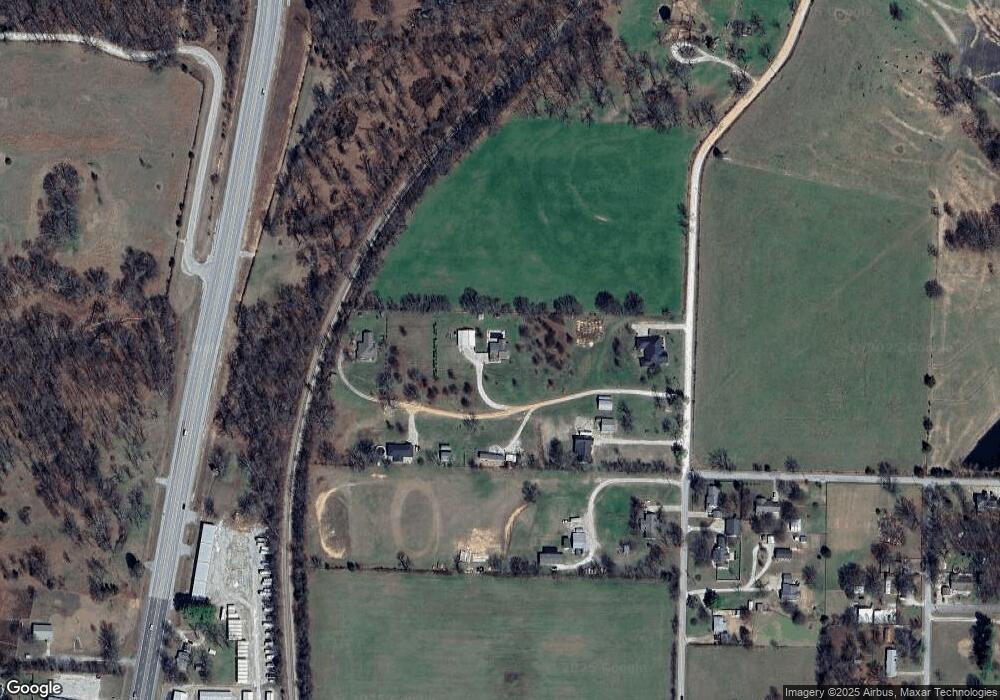
Map
Nearby Homes
- 469 Sheppard Rd
- 12526 Avoca Hollow Dr
- 0 Rader Rd Unit 1290308
- 13585 Andy Jack Rd
- 329 Rader Rd
- TBD Rader Rd
- 969 Rader Rd
- 13482 Sugar Creek Rd
- GARLAND Plan at Tall Tree
- HOLDEN Plan at Tall Tree
- 13124 Scenic Dr
- 989 Red Cedar Place
- 15049 White Fawn Dr
- 15072 White Fawn Dr
- 13610 Degraff Rd
- 15112 Mills Terrace
- 905 Prairie Creek Rd N
- 10635 Prairie Creek Rd N
- 2612 Fairway Cir
- 12092 Guyll Ridge Rd
- 12617 N Old Wire Rd
- 12609 N Old Wire Rd
- 12625 N Old Wire Rd
- 12619 N Old Wire Rd
- 12637 N Old Wire Rd
- 12613 N Old Wire Rd
- 519 Pearl Ave
- 518 Pearl Ave
- 460 Pearl Ave
- 405 Smith Ridge Rd
- 10Ac E Hwy 62
- 466 Pearl Ave
- 458 Pearl Ave
- 13875 E Us 62 Hwy E
- 462 Pearl Ave
- 0 Highway 62 Unit lot 2 1242273
- 0 Highway 62 Unit 7 1242266
- 0 Highway 62 Unit 9 1242264
- 0 Highway 62 Unit 10 1242242
- 0 Highway 62 Unit 1242273