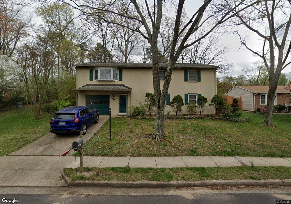
12617 Harbor Dr Woodbridge, VA 22192
Estimated Value: $538,000 - $596,000
3
Beds
3
Baths
1,200
Sq Ft
$471/Sq Ft
Est. Value
About This Home
This home is located at 12617 Harbor Dr, Woodbridge, VA 22192 and is currently estimated at $564,907, approximately $470 per square foot. 12617 Harbor Dr is a home located in Prince William County with nearby schools including Rockledge Elementary School, Lake Ridge Middle School, and Woodbridge High School.
Ownership History
Date
Name
Owned For
Owner Type
Purchase Details
Closed on
Jan 22, 1997
Sold by
Associates Relocation
Bought by
Hults Kenneth John and Hults Lori Ann
Current Estimated Value
Home Financials for this Owner
Home Financials are based on the most recent Mortgage that was taken out on this home.
Original Mortgage
$153,000
Outstanding Balance
$16,241
Interest Rate
7.5%
Mortgage Type
VA
Estimated Equity
$548,666
Create a Home Valuation Report for This Property
The Home Valuation Report is an in-depth analysis detailing your home's value as well as a comparison with similar homes in the area
Home Values in the Area
Average Home Value in this Area
Purchase History
| Date | Buyer | Sale Price | Title Company |
|---|---|---|---|
| Hults Kenneth John | $150,000 | -- |
Source: Public Records
Mortgage History
| Date | Status | Borrower | Loan Amount |
|---|---|---|---|
| Open | Hults Kenneth John | $153,000 |
Source: Public Records
Tax History Compared to Growth
Tax History
| Year | Tax Paid | Tax Assessment Tax Assessment Total Assessment is a certain percentage of the fair market value that is determined by local assessors to be the total taxable value of land and additions on the property. | Land | Improvement |
|---|---|---|---|---|
| 2025 | $4,718 | $501,700 | $171,900 | $329,800 |
| 2024 | $4,718 | $474,400 | $162,200 | $312,200 |
| 2023 | $4,603 | $442,400 | $150,300 | $292,100 |
| 2022 | $5,011 | $442,200 | $148,900 | $293,300 |
| 2021 | $4,842 | $395,200 | $133,000 | $262,200 |
| 2020 | $5,713 | $368,600 | $118,400 | $250,200 |
| 2019 | $5,799 | $374,100 | $120,400 | $253,700 |
| 2018 | $4,250 | $352,000 | $114,600 | $237,400 |
| 2017 | $4,017 | $323,800 | $114,600 | $209,200 |
| 2016 | $3,905 | $317,600 | $113,200 | $204,400 |
| 2015 | $3,503 | $297,400 | $115,300 | $182,100 |
| 2014 | $3,503 | $278,000 | $109,100 | $168,900 |
Source: Public Records
Map
Nearby Homes
- 2168 Mayflower Dr
- 12562 Plymouth Ct
- 2094 Pilgrim Dr
- 2089 Mayflower Dr
- 1952 Mariner Ln
- 2306 Marline Ct
- 1937 Mariner Ln
- 12302 Harbor Dr
- 1947 Inglebrook Dr
- 12502 Colby Dr
- 1785 Rockledge Terrace
- 1994 Penfold Ct
- 2076 Bowline Loop
- 1853 Faversham Way
- 12221 Seaford Ct
- 12392 Grantley Ct
- 12865 Mill House Ct
- 12844 Mill House Ct
- 1620 Mount High St
- 12909 Cohasset Ln
- 12615 Harbor Dr
- 12619 Harbor Dr
- 2196 Mayflower Dr
- 12613 Harbor Dr
- 2192 Mayflower Dr
- 2194 Mayflower Dr
- 12614 Harbor Dr
- 12612 Harbor Dr
- 12616 Harbor Dr
- 12621 Harbor Dr
- 12592 Plymouth Ct
- 12590 Plymouth Ct
- 12594 Plymouth Ct
- 2197 Mayflower Dr
- 12588 Plymouth Ct
- 12596 Plymouth Ct
- 12611 Harbor Dr
- 12586 Plymouth Ct
- 12618 Harbor Dr
- 12598 Plymouth Ct