12618 NE 254th St Battle Ground, WA 98604
Estimated Value: $949,000 - $1,213,000
3
Beds
3
Baths
1,816
Sq Ft
$592/Sq Ft
Est. Value
About This Home
This home is located at 12618 NE 254th St, Battle Ground, WA 98604 and is currently estimated at $1,075,971, approximately $592 per square foot. 12618 NE 254th St is a home located in Clark County with nearby schools including Captain Strong Primary School, Chief Umtuch Middle School, and Battle Ground High School.
Ownership History
Date
Name
Owned For
Owner Type
Purchase Details
Closed on
Sep 17, 2007
Sold by
Cooley Royal D and Cooley Jean K
Bought by
Uskoski Joel D and Uskoski Carla J
Current Estimated Value
Home Financials for this Owner
Home Financials are based on the most recent Mortgage that was taken out on this home.
Original Mortgage
$78,000
Outstanding Balance
$49,330
Interest Rate
6.46%
Mortgage Type
Credit Line Revolving
Estimated Equity
$1,026,641
Purchase Details
Closed on
Jul 8, 1996
Sold by
Hanson Danella and Laska Lori
Bought by
Miller Stephen J and Miller Sarah M
Home Financials for this Owner
Home Financials are based on the most recent Mortgage that was taken out on this home.
Original Mortgage
$190,800
Interest Rate
10.25%
Create a Home Valuation Report for This Property
The Home Valuation Report is an in-depth analysis detailing your home's value as well as a comparison with similar homes in the area
Home Values in the Area
Average Home Value in this Area
Purchase History
| Date | Buyer | Sale Price | Title Company |
|---|---|---|---|
| Uskoski Joel D | $550,000 | Fidelity National Title | |
| Miller Stephen J | $62,941 | Clark County Title Company |
Source: Public Records
Mortgage History
| Date | Status | Borrower | Loan Amount |
|---|---|---|---|
| Open | Uskoski Joel D | $78,000 | |
| Open | Uskoski Joel D | $417,000 | |
| Previous Owner | Miller Stephen J | $190,800 |
Source: Public Records
Tax History Compared to Growth
Tax History
| Year | Tax Paid | Tax Assessment Tax Assessment Total Assessment is a certain percentage of the fair market value that is determined by local assessors to be the total taxable value of land and additions on the property. | Land | Improvement |
|---|---|---|---|---|
| 2025 | $8,645 | $1,039,391 | $550,789 | $488,602 |
| 2024 | $7,585 | $991,771 | $550,789 | $440,982 |
| 2023 | $6,769 | $974,169 | $545,633 | $428,536 |
| 2022 | $6,300 | $794,573 | $364,123 | $430,450 |
| 2021 | $6,216 | $686,656 | $309,941 | $376,715 |
| 2020 | $6,058 | $618,196 | $277,430 | $340,766 |
| 2019 | $5,022 | $590,748 | $259,369 | $331,379 |
| 2018 | $5,795 | $560,938 | $0 | $0 |
| 2017 | $4,947 | $494,791 | $0 | $0 |
| 2016 | $4,838 | $458,909 | $0 | $0 |
| 2015 | $4,696 | $413,682 | $0 | $0 |
| 2014 | -- | $382,452 | $0 | $0 |
| 2013 | -- | $352,876 | $0 | $0 |
Source: Public Records
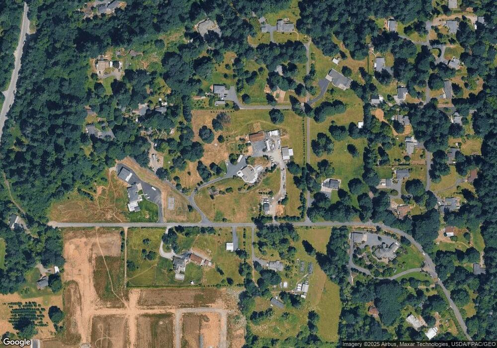
Map
Nearby Homes
- 3039 NW 6th Ave
- 3031 NW 6th Ave
- 3023 NW 6th Ave
- 3015 NW 6th Ave
- 2925 NW 6th Ave
- 25113 NE Dublin Rd
- 640 NW 29th St
- 669 NW 29th St
- 340 NW 29th St
- 151 NW 30th St
- Cascade Plan at Sterling Ranch
- Cali Plan at Sterling Ranch
- 755 NW 29th St
- 642 NW 28th St
- 650 NW 28th St
- 734 NW 28th St
- 771 NW 29th St
- 742 NW 28th St
- 2916 NW 8th Ave
- 2809 NW 8th Ave
- 25612 NE 128th Ave
- 25700 NE 128th Ave
- 25411 NE 128th Ave
- 25605 NE Cooley Rd
- 12709 NE 254th St
- 12500 NE 254th St
- 12509 NE 254th St
- 25615 NE 128th Ave
- 25606 NE 128th Ave
- 25810 NE 128th Ave
- 25508 NE 130th Ave
- 25500 NE 130th Ave
- 12915 NE 254th St
- 25306 NE Dublin Rd
- 25600 NE 130th Ave
- 25405 NE Dublin Rd
- 25600 NE Cooley Rd
- 25708 NE 130th Ave
- 25608 NE 130th Ave
- 25615 NE Cooley Rd