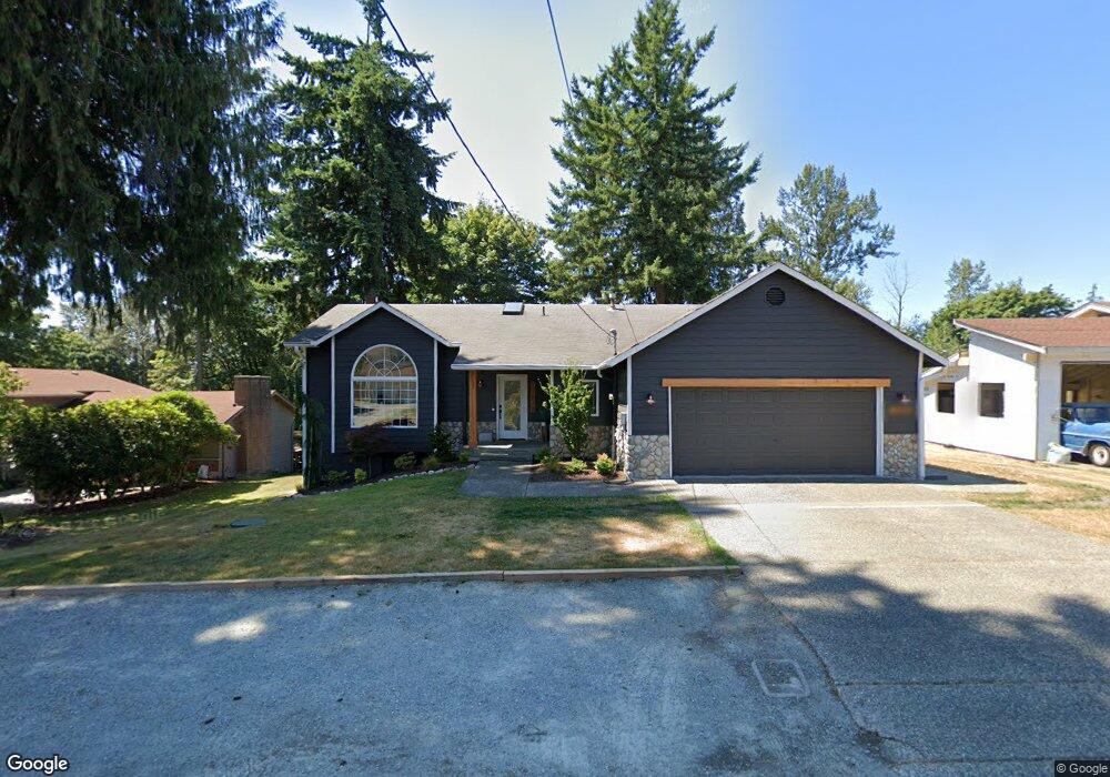
12618 Robinhood Ln Snohomish, WA 98290
Estimated Value: $855,000 - $1,110,000
3
Beds
2
Baths
1,558
Sq Ft
$611/Sq Ft
Est. Value
About This Home
This home is located at 12618 Robinhood Ln, Snohomish, WA 98290 and is currently estimated at $951,682, approximately $610 per square foot. 12618 Robinhood Ln is a home located in Snohomish County with nearby schools including Chain Lake Elementary School, Monroe High School, and Monroe Montessori School.
Ownership History
Date
Name
Owned For
Owner Type
Purchase Details
Closed on
Mar 1, 2004
Sold by
Wheelock Kevin A and Shaindell Goldhaber L
Bought by
Anderson Scott D and Anderson Alison J
Current Estimated Value
Home Financials for this Owner
Home Financials are based on the most recent Mortgage that was taken out on this home.
Original Mortgage
$200,550
Outstanding Balance
$93,597
Interest Rate
5.65%
Mortgage Type
Purchase Money Mortgage
Estimated Equity
$858,085
Purchase Details
Closed on
Feb 19, 1997
Sold by
Sandberg Krista and Nolan Albert A
Bought by
Platt James G and Platt Shaunna D
Home Financials for this Owner
Home Financials are based on the most recent Mortgage that was taken out on this home.
Original Mortgage
$168,000
Interest Rate
7.9%
Mortgage Type
Construction
Create a Home Valuation Report for This Property
The Home Valuation Report is an in-depth analysis detailing your home's value as well as a comparison with similar homes in the area
Home Values in the Area
Average Home Value in this Area
Purchase History
| Date | Buyer | Sale Price | Title Company |
|---|---|---|---|
| Anderson Scott D | $299,950 | Fidelity National Title | |
| Platt James G | $50,000 | Old Republic Title Ltd |
Source: Public Records
Mortgage History
| Date | Status | Borrower | Loan Amount |
|---|---|---|---|
| Open | Anderson Scott D | $200,550 | |
| Previous Owner | Platt James G | $168,000 | |
| Closed | Anderson Scott D | $94,210 |
Source: Public Records
Tax History Compared to Growth
Tax History
| Year | Tax Paid | Tax Assessment Tax Assessment Total Assessment is a certain percentage of the fair market value that is determined by local assessors to be the total taxable value of land and additions on the property. | Land | Improvement |
|---|---|---|---|---|
| 2025 | $6,302 | $804,100 | $298,800 | $505,300 |
| 2024 | $6,302 | $767,500 | $284,200 | $483,300 |
| 2023 | $6,032 | $803,600 | $303,600 | $500,000 |
| 2022 | $5,864 | $617,300 | $216,300 | $401,000 |
| 2020 | $5,318 | $539,000 | $187,200 | $351,800 |
| 2019 | $5,027 | $502,200 | $172,700 | $329,500 |
| 2018 | $5,544 | $448,500 | $138,700 | $309,800 |
| 2017 | $4,819 | $405,200 | $110,400 | $294,800 |
| 2016 | $4,941 | $375,800 | $92,200 | $283,600 |
| 2015 | $4,891 | $350,200 | $91,200 | $259,000 |
| 2013 | $3,851 | $250,400 | $70,000 | $180,400 |
Source: Public Records
Map
Nearby Homes
- 13002 175th Dr SE
- 13003 183rd Ave SE
- 17522 Trombley Rd
- 18720 El Bello Paseo
- 18290 Tahoma St SE
- 16911 125th St SE
- 13117 Tonga Ridge Rd SE
- 16915 124th Place SE
- 12989 Phillips Ridge Rd SE
- 11915 189th Ave SE
- 18775 137th St SE
- 19151 133rd St SE
- 16907 116th St SE
- 18330 Butler Rd
- 13177 164th Ave SE
- 19156 133rd St SE
- 19186 133rd St SE
- 19245 135th St SE
- 13003 Roosevelt Rd
- 19242 135th St SE
- 12626 Robinhood Ln
- 12610 Robinhood Ln
- 0 13XXX Robinhood Ln
- 13 xxx Robinhood Ln
- 12700 Robinhood Ln
- 12633 Robinhood Ln
- 12708 Robinhood Ln
- 12613 Robinhood Ln
- 12526 Robinhood Ln
- 12605 Robinhood Ln
- 12529 Robinhood Ln
- 12707 Robinhood Ln
- 12712 178th Dr SE
- 12718 Robinhood Ln
- 12518 Robinhood Ln
- 12523 Robinhood Ln
- 12726 Robinhood Ln
- 12510 Robinhood Ln
- 18009 128th Place SE