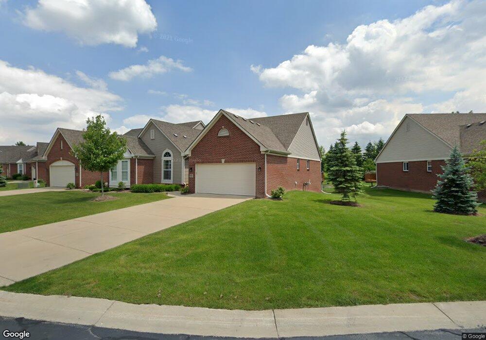
1262 Andover Cir Unit 74 Commerce Township, MI 48390
Estimated Value: $365,938 - $427,000
2
Beds
2
Baths
1,530
Sq Ft
$250/Sq Ft
Est. Value
About This Home
This home is located at 1262 Andover Cir Unit 74, Commerce Township, MI 48390 and is currently estimated at $382,985, approximately $250 per square foot. 1262 Andover Cir Unit 74 is a home located in Oakland County with nearby schools including Loon Lake Elementary School, Sarah G. Banks Middle School, and Walled Lake Central High School.
Ownership History
Date
Name
Owned For
Owner Type
Purchase Details
Closed on
Feb 25, 2015
Sold by
Wilson Diana L
Bought by
Dianna L Wilson Family Trust
Current Estimated Value
Purchase Details
Closed on
Sep 29, 2011
Sold by
Commerce Mb Llc
Bought by
Wilson Dianna L
Home Financials for this Owner
Home Financials are based on the most recent Mortgage that was taken out on this home.
Original Mortgage
$132,000
Interest Rate
4.22%
Mortgage Type
New Conventional
Create a Home Valuation Report for This Property
The Home Valuation Report is an in-depth analysis detailing your home's value as well as a comparison with similar homes in the area
Home Values in the Area
Average Home Value in this Area
Purchase History
| Date | Buyer | Sale Price | Title Company |
|---|---|---|---|
| Dianna L Wilson Family Trust | -- | None Available | |
| Wilson Dianna L | $165,000 | Greco |
Source: Public Records
Mortgage History
| Date | Status | Borrower | Loan Amount |
|---|---|---|---|
| Previous Owner | Wilson Dianna L | $132,000 |
Source: Public Records
Tax History Compared to Growth
Tax History
| Year | Tax Paid | Tax Assessment Tax Assessment Total Assessment is a certain percentage of the fair market value that is determined by local assessors to be the total taxable value of land and additions on the property. | Land | Improvement |
|---|---|---|---|---|
| 2024 | $2,001 | $167,260 | $0 | $0 |
| 2023 | $1,887 | $153,100 | $0 | $0 |
| 2022 | $2,980 | $147,790 | $0 | $0 |
| 2021 | $2,925 | $142,710 | $0 | $0 |
| 2020 | $1,865 | $132,110 | $0 | $0 |
| 2019 | $2,787 | $128,660 | $0 | $0 |
| 2018 | $2,764 | $122,050 | $0 | $0 |
| 2017 | $2,734 | $122,050 | $0 | $0 |
| 2016 | $2,691 | $113,780 | $0 | $0 |
| 2015 | -- | $101,390 | $0 | $0 |
| 2014 | -- | $92,200 | $0 | $0 |
| 2011 | -- | $21,040 | $0 | $0 |
Source: Public Records
Map
Nearby Homes
- 1338 Andover Cir
- 1128 Andover Cir Unit 88
- 1104 Andover Cir Unit 92
- 1179 Andover Cir Unit 48
- 1736 Pine Forest Dr
- 1500 Rustic Ln
- 1431 Lee Wood Ridge Rd
- 2000 Twin Sun Cir
- 1625 Mc Coy St
- 1860 Twin Sun Cir
- 1599 Chanticlair Cir
- 1588 Ladd Rd
- 1561 Waters Edge Ct
- 770 Brushwood Dr
- 27202 Chesapeake Cir Unit 320
- 24202 Chesapeake Cir Unit 287
- 420 Wellsboro St
- 853 Adelaide Dr
- 1442 Sunset Dr
- 1640 High Pointe Dr
- 1262 Andover Cir
- 1284 Andover Cir Unit 72
- 1284 Andover Cir
- 1234 Andover Cir Unit 75
- 1273 Andover Cir Unit 57
- 1273 Andover Cir
- 1251 Andover Cir Unit 55
- 1245 Andover Cir
- 1245 Andover Cir Unit 53
- 1224 Andover Cir Unit 77
- 1300 Andover Cir Unit 70
- 1300 Andover Cir
- 1325 Andover Cir Unit 59
- 1325 Andover Cir
- 1213 Andover Cir Unit 51
- 1202 Andover Cir Unit 79
- 1351 Gloucester Ct Unit 17
- 1351 Gloucester Ct
- 1312 Andover Cir Unit 68
- 1312 Andover Cir