1262 Bob Smith Rd Sharpsburg, GA 30277
Estimated Value: $438,000 - $771,000
4
Beds
2
Baths
3,312
Sq Ft
$170/Sq Ft
Est. Value
About This Home
This home is located at 1262 Bob Smith Rd, Sharpsburg, GA 30277 and is currently estimated at $563,441, approximately $170 per square foot. 1262 Bob Smith Rd is a home located in Coweta County with nearby schools including Willis Road Elementary School, Lee Middle School, and East Coweta High School.
Ownership History
Date
Name
Owned For
Owner Type
Purchase Details
Closed on
Aug 21, 2012
Sold by
Steed Joshua P
Bought by
Steed Robin C
Current Estimated Value
Home Financials for this Owner
Home Financials are based on the most recent Mortgage that was taken out on this home.
Original Mortgage
$372,600
Outstanding Balance
$255,489
Interest Rate
3.53%
Mortgage Type
New Conventional
Estimated Equity
$307,952
Purchase Details
Closed on
Oct 8, 2003
Sold by
Steed Joshua P
Bought by
Steed Robin C
Purchase Details
Closed on
Jan 24, 1997
Sold by
Smith Rodney A and Smith Renae G
Bought by
Steed Robbin C
Purchase Details
Closed on
Sep 25, 1992
Bought by
Smith Rodney A and Smith Ren
Purchase Details
Closed on
Apr 4, 1991
Bought by
Smith Esther Jean
Purchase Details
Closed on
Jul 14, 1989
Bought by
Smith Rodney A
Create a Home Valuation Report for This Property
The Home Valuation Report is an in-depth analysis detailing your home's value as well as a comparison with similar homes in the area
Home Values in the Area
Average Home Value in this Area
Purchase History
| Date | Buyer | Sale Price | Title Company |
|---|---|---|---|
| Steed Robin C | -- | -- | |
| Steed Robin C | -- | -- | |
| Steed Robin C | -- | -- | |
| Steed Robin C | -- | -- | |
| Steed Robbin C | $249,900 | -- | |
| Steed Robbin C | $249,900 | -- | |
| Smith Rodney A | $31,100 | -- | |
| Smith Rodney A | $31,100 | -- | |
| Smith Esther Jean | $27,500 | -- | |
| Smith Esther Jean | $27,500 | -- | |
| Smith Rodney A | $35,000 | -- | |
| Smith Rodney A | $35,000 | -- |
Source: Public Records
Mortgage History
| Date | Status | Borrower | Loan Amount |
|---|---|---|---|
| Open | Steed Robin C | $372,600 | |
| Closed | Steed Robin C | $95,400 |
Source: Public Records
Tax History Compared to Growth
Tax History
| Year | Tax Paid | Tax Assessment Tax Assessment Total Assessment is a certain percentage of the fair market value that is determined by local assessors to be the total taxable value of land and additions on the property. | Land | Improvement |
|---|---|---|---|---|
| 2025 | $4,145 | $181,072 | $24,900 | $156,172 |
| 2024 | $4,045 | $178,832 | $23,272 | $155,560 |
| 2023 | $4,045 | $186,342 | $21,548 | $164,794 |
| 2022 | $3,336 | $140,133 | $21,548 | $118,585 |
| 2021 | $3,210 | $126,598 | $20,522 | $106,076 |
| 2020 | $3,230 | $126,598 | $20,522 | $106,076 |
| 2019 | $2,468 | $89,116 | $3,800 | $85,316 |
| 2018 | $2,473 | $89,116 | $3,800 | $85,316 |
| 2017 | $2,472 | $89,116 | $3,800 | $85,316 |
| 2016 | $2,444 | $89,116 | $3,800 | $85,316 |
| 2015 | $2,406 | $89,116 | $3,800 | $85,316 |
| 2014 | $2,389 | $89,116 | $3,800 | $85,316 |
Source: Public Records
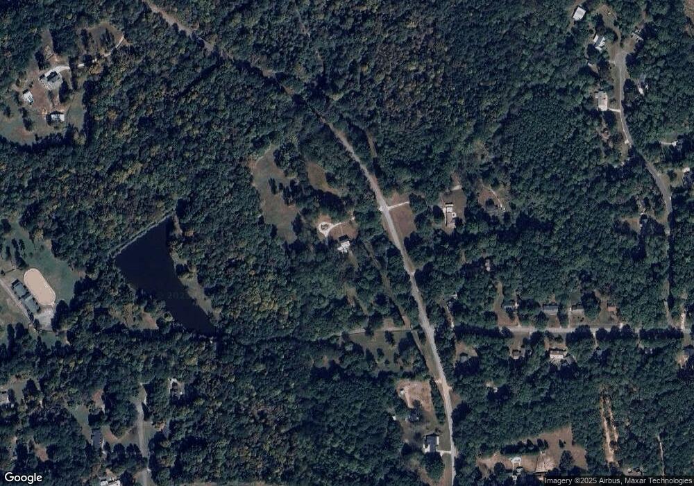
Map
Nearby Homes
- 0 Pinegate Way Unit 10436279
- 214 Northwynn Dr
- 150 Park Timbers Dr
- 21 Lake Park Ct
- 1367 Sharpsburg McCollum Rd
- 20 Platinum Ridge
- 51 Christopher Rd
- 25 Chemin Place
- 25 Lentry Dr
- 4791 Highway 34 E
- 40 Jackson Valley
- 5 Timber Walk Place
- 7483 Highway 54
- 20 Beaver Creek Ln
- 2940 Highway 54
- 2800 Highway 54
- 131 Pecan Lake Dr
- Spring Forest Way Lot: 2-1
- 180 Saint James Place
- 0 Highway 154 Unit 10470800
- 0 Bob Smith Rd Shady Creek Farm NE Unit 7018568
- 1262 Bob Smith Rd
- 1257 Bob Smith Rd
- 2 Rockland Dr
- 7 Board Unit 293
- 7 Board
- 1233 Bob Smith Rd
- 1259 Bob Smith Rd
- 1189 Bob Smith Rd Unit 1
- 10 Rockland Dr
- 15 Rockland Dr
- 20 Rockland Dr Unit 31
- 20 Rockland Dr
- 1150 Bob Smith Rd
- 1177 Bob Smith Rd
- 41 Stonewood Way
- 30 Rockland Dr Unit 1
- 25 Rockland Dr Unit 1
- 27 Stonewood Way
- 60 Rockland Ct