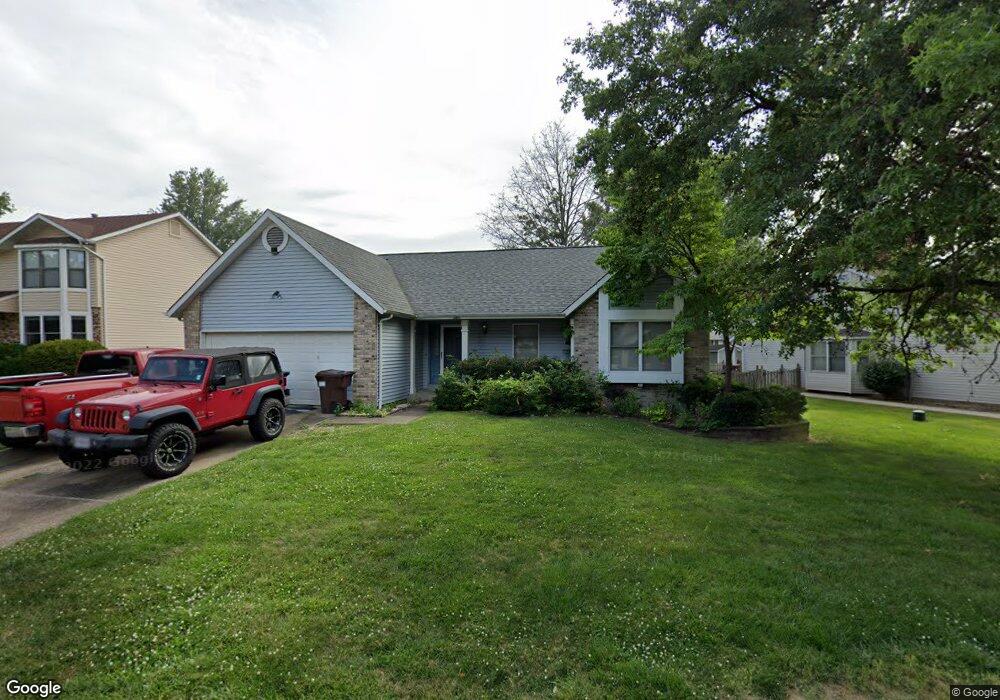
1262 Colby Dr Saint Peters, MO 63376
Estimated Value: $333,000 - $360,000
3
Beds
2
Baths
1,540
Sq Ft
$225/Sq Ft
Est. Value
About This Home
This home is located at 1262 Colby Dr, Saint Peters, MO 63376 and is currently estimated at $346,897, approximately $225 per square foot. 1262 Colby Dr is a home located in St. Charles County with nearby schools including Lewis & Clark Elementary School, Dr. Bernard J. Dubray Middle School, and Fort Zumwalt East High School.
Ownership History
Date
Name
Owned For
Owner Type
Purchase Details
Closed on
Sep 18, 2025
Sold by
Sizemore Michael J and Sizemore James Gage
Bought by
Howe Investments Llc
Current Estimated Value
Purchase Details
Closed on
Jul 2, 2002
Sold by
Conaway K Scott and Conaway Jennifer A
Bought by
Sizemore Michael J
Home Financials for this Owner
Home Financials are based on the most recent Mortgage that was taken out on this home.
Original Mortgage
$130,500
Interest Rate
6.41%
Mortgage Type
Balloon
Purchase Details
Closed on
Jan 21, 1998
Sold by
Kappelmann Eric A Sara C
Bought by
Conaway K Scott and Conaway Jennifer A
Home Financials for this Owner
Home Financials are based on the most recent Mortgage that was taken out on this home.
Original Mortgage
$113,850
Interest Rate
7.07%
Create a Home Valuation Report for This Property
The Home Valuation Report is an in-depth analysis detailing your home's value as well as a comparison with similar homes in the area
Home Values in the Area
Average Home Value in this Area
Purchase History
| Date | Buyer | Sale Price | Title Company |
|---|---|---|---|
| Howe Investments Llc | -- | Title Partners | |
| Sizemore Michael J | $155,000 | -- | |
| Conaway K Scott | -- | -- |
Source: Public Records
Mortgage History
| Date | Status | Borrower | Loan Amount |
|---|---|---|---|
| Previous Owner | Sizemore Michael J | $130,500 | |
| Previous Owner | Conaway K Scott | $113,850 |
Source: Public Records
Tax History Compared to Growth
Tax History
| Year | Tax Paid | Tax Assessment Tax Assessment Total Assessment is a certain percentage of the fair market value that is determined by local assessors to be the total taxable value of land and additions on the property. | Land | Improvement |
|---|---|---|---|---|
| 2025 | $4,032 | $60,712 | -- | -- |
| 2024 | $4,032 | $56,578 | -- | -- |
| 2023 | $4,029 | $56,578 | $0 | $0 |
| 2022 | $3,301 | $43,373 | $0 | $0 |
| 2021 | $3,296 | $43,373 | $0 | $0 |
| 2020 | $3,269 | $41,709 | $0 | $0 |
| 2019 | $3,261 | $41,709 | $0 | $0 |
| 2018 | $2,925 | $35,914 | $0 | $0 |
| 2017 | $2,912 | $35,914 | $0 | $0 |
| 2016 | $2,565 | $31,529 | $0 | $0 |
| 2015 | $2,402 | $31,529 | $0 | $0 |
| 2014 | $2,201 | $28,294 | $0 | $0 |
Source: Public Records
Map
Nearby Homes
- 537 Ryehill Dr
- 99 Long And Winding Rd
- 114 Long And Winding Rd
- 404 Kaliedoscope Ln
- 1196 Colby Ct
- 31 Carriage Way W
- 17 Forrel Tree Ct
- 47 Dogwood Ln
- 4 Trailview Ct
- 54 Dogwood Ln
- 10 Eagles Glen Ct
- 1309 Whispering Ridge Ln
- 1126 Spencer Rd
- 19 Galaxy Dr
- 88 Spencer Trail
- 613 River Moss Dr
- 1 Marianne Dr
- 29 Vanguard Dr
- 1210 Summerwood Dr
- 528 Selene St