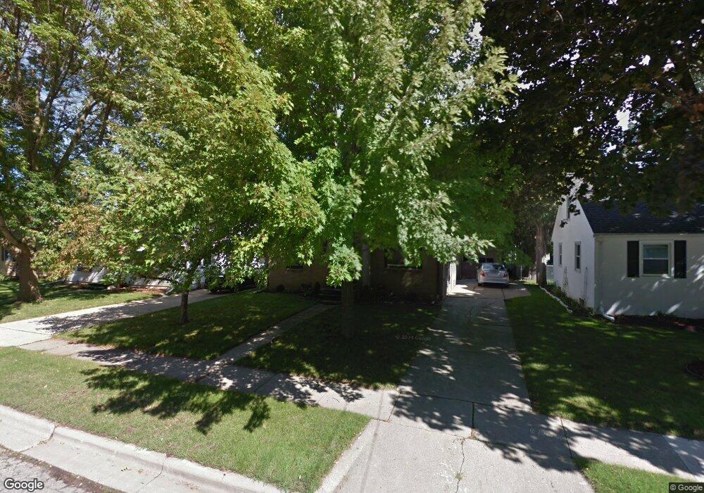
1262 Langlade Ave Green Bay, WI 54304
Colburn NeighborhoodEstimated Value: $282,000 - $293,000
3
Beds
2
Baths
1,772
Sq Ft
$163/Sq Ft
Est. Value
About This Home
This home is located at 1262 Langlade Ave, Green Bay, WI 54304 and is currently estimated at $288,031, approximately $162 per square foot. 1262 Langlade Ave is a home located in Brown County with nearby schools including Jackson Elementary School, Franklin Middle School, and West High School.
Ownership History
Date
Name
Owned For
Owner Type
Purchase Details
Closed on
Mar 31, 2009
Sold by
Nowak Shawn and Nowak Emily R
Bought by
Videle Susan M
Current Estimated Value
Home Financials for this Owner
Home Financials are based on the most recent Mortgage that was taken out on this home.
Original Mortgage
$96,080
Outstanding Balance
$61,290
Interest Rate
5.11%
Mortgage Type
Purchase Money Mortgage
Estimated Equity
$226,741
Purchase Details
Closed on
Jan 20, 2005
Sold by
Engel Bryan E and Engel Jennifer L
Bought by
Witrak Emily and Witrak Emily R
Create a Home Valuation Report for This Property
The Home Valuation Report is an in-depth analysis detailing your home's value as well as a comparison with similar homes in the area
Home Values in the Area
Average Home Value in this Area
Purchase History
| Date | Buyer | Sale Price | Title Company |
|---|---|---|---|
| Videle Susan M | $120,100 | Nicolet Title | |
| Witrak Emily | $119,900 | Bay Title & Abstract Inc |
Source: Public Records
Mortgage History
| Date | Status | Borrower | Loan Amount |
|---|---|---|---|
| Open | Videle Susan M | $96,080 |
Source: Public Records
Tax History Compared to Growth
Tax History
| Year | Tax Paid | Tax Assessment Tax Assessment Total Assessment is a certain percentage of the fair market value that is determined by local assessors to be the total taxable value of land and additions on the property. | Land | Improvement |
|---|---|---|---|---|
| 2024 | $2,844 | $157,500 | $28,500 | $129,000 |
| 2023 | $2,695 | $157,500 | $28,500 | $129,000 |
| 2022 | $2,651 | $157,500 | $28,500 | $129,000 |
| 2021 | $2,386 | $108,200 | $15,700 | $92,500 |
| 2020 | $2,425 | $108,200 | $15,700 | $92,500 |
| 2019 | $2,388 | $108,200 | $15,700 | $92,500 |
| 2018 | $2,290 | $108,200 | $15,700 | $92,500 |
| 2017 | $2,277 | $108,200 | $15,700 | $92,500 |
| 2016 | $2,238 | $108,200 | $15,700 | $92,500 |
| 2015 | $2,345 | $108,200 | $15,700 | $92,500 |
| 2014 | $2,388 | $108,200 | $15,700 | $92,500 |
| 2013 | $2,388 | $108,200 | $15,700 | $92,500 |
Source: Public Records
Map
Nearby Homes
- 1428 Beauchamp St
- 1212 9th St
- 1181 Roscoe St
- 1252 Marian Ln
- 1203 Spence St
- 1244 Liberty St
- 1348 Liberty St
- 1122 Biemeret St
- 1286 7th St
- 1507 Delores St
- 1110 Roscoe St
- 1255 Loch Dr
- 1427 Russell St
- 1128 Marquette Ave
- 1749 S Oneida St Unit 1751
- 1205 Nicolet Ave
- 1751 S Oneida St
- 1444 Liberty St
- 1163 Thorndale St
- 1413 Gross Ave
- 1260 Langlade Ave
- 1268 Langlade Ave
- 1274 Langlade Ave
- 1256 Langlade Ave
- 1265 Roscoe St
- 1267 Roscoe St
- 1261 Roscoe St
- 1269 Langlade Ave
- 1273 Roscoe St
- 1263 Langlade Ave
- 1253 Roscoe St
- 1255 Langlade Ave
- 1248 Langlade Ave
- 1278 Langlade Ave
- 1275 Langlade Ave
- 1247 Roscoe St
- 1251 Langlade Ave
- 1279 Langlade Ave
- 1266 Rockdale St
- 1262 Rockdale St