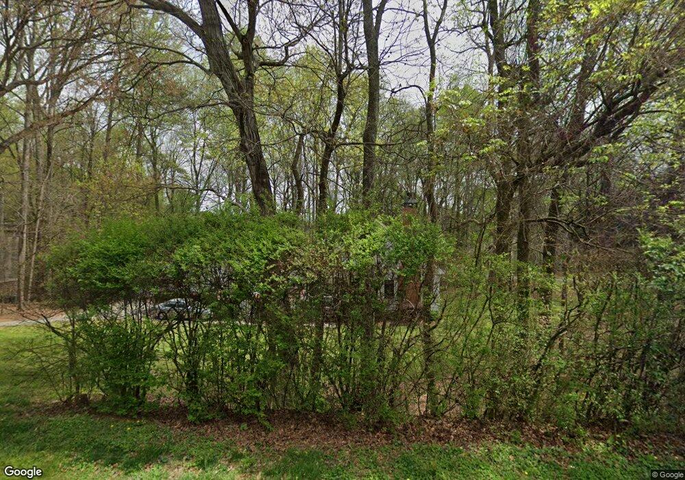
12620 Etris Rd Roswell, GA 30075
Estimated Value: $527,000 - $923,000
3
Beds
3
Baths
2,202
Sq Ft
$328/Sq Ft
Est. Value
About This Home
This home is located at 12620 Etris Rd, Roswell, GA 30075 and is currently estimated at $722,464, approximately $328 per square foot. 12620 Etris Rd is a home located in Fulton County with nearby schools including Sweet Apple Elementary School, Elkins Pointe Middle School, and Milton High School.
Ownership History
Date
Name
Owned For
Owner Type
Purchase Details
Closed on
Nov 23, 2004
Sold by
Zelazny Mark A
Bought by
Pierson Robert L and Pierson Lynda
Current Estimated Value
Home Financials for this Owner
Home Financials are based on the most recent Mortgage that was taken out on this home.
Original Mortgage
$260,000
Outstanding Balance
$128,190
Interest Rate
5.6%
Mortgage Type
New Conventional
Estimated Equity
$594,274
Purchase Details
Closed on
May 22, 1997
Sold by
Carlton Ridge Inc
Bought by
Zelazny Mark A
Home Financials for this Owner
Home Financials are based on the most recent Mortgage that was taken out on this home.
Original Mortgage
$165,000
Interest Rate
8.13%
Mortgage Type
New Conventional
Create a Home Valuation Report for This Property
The Home Valuation Report is an in-depth analysis detailing your home's value as well as a comparison with similar homes in the area
Home Values in the Area
Average Home Value in this Area
Purchase History
| Date | Buyer | Sale Price | Title Company |
|---|---|---|---|
| Pierson Robert L | $325,000 | -- | |
| Zelazny Mark A | $35,000 | -- |
Source: Public Records
Mortgage History
| Date | Status | Borrower | Loan Amount |
|---|---|---|---|
| Open | Pierson Robert L | $260,000 | |
| Previous Owner | Zelazny Mark A | $165,000 |
Source: Public Records
Tax History Compared to Growth
Tax History
| Year | Tax Paid | Tax Assessment Tax Assessment Total Assessment is a certain percentage of the fair market value that is determined by local assessors to be the total taxable value of land and additions on the property. | Land | Improvement |
|---|---|---|---|---|
| 2025 | $703 | $133,720 | $41,640 | $92,080 |
| 2023 | $4,092 | $144,960 | $41,640 | $103,320 |
| 2022 | $3,136 | $144,960 | $41,640 | $103,320 |
| 2021 | $3,736 | $140,720 | $40,440 | $100,280 |
| 2020 | $3,787 | $139,080 | $39,960 | $99,120 |
| 2019 | $625 | $136,600 | $39,240 | $97,360 |
| 2018 | $3,239 | $133,400 | $38,320 | $95,080 |
| 2017 | $3,088 | $120,440 | $24,800 | $95,640 |
| 2016 | $3,071 | $120,440 | $24,800 | $95,640 |
| 2015 | $3,739 | $120,440 | $24,800 | $95,640 |
| 2014 | $3,174 | $120,440 | $24,800 | $95,640 |
Source: Public Records
Map
Nearby Homes
- 12867 Etris Walk
- 161 Brook Ln
- 130 Nova Ln
- 105 Kensington Pond Ct
- 127 Quinn Way
- 137 Quinn Way
- 113 Quinn Way
- 580 Stillhouse Ln Unit 2
- 515 Kent Rd
- 12950 New Providence Rd
- 1565 Parkside Dr
- 12857 Waterside Dr
- 666 Abbey Ct
- 915 Ebenezer Rd
- 12842 Waterside Dr Unit 2
- 406 Sweet Apple Cir
- 12620 Old Surrey Place
- 257 Ranchette Rd
- 13025 Morningpark Cir
- 12630 Etris Rd
- 12637 Etris Rd
- 12639 Etris Rd
- 375 Cagle Rd
- 12595 Etris Rd
- 12640 Etris Rd
- 12625 Etris Rd
- 715 Aronson Lake Ct Unit 17
- 970 Water Grove Ct
- 705 Aronson Lake Ct
- 365 Cagle Rd
- 965 Water Grove Ct
- 700 Aronson Lake Ct
- 12585 Etris Rd
- 12635 Etris Rd
- 12650 Etris Rd
- 725 Aronson Lake Ct
- 955 Water Grove Ct
- 710 Aronson Lake Ct
- 960 Water Grove Ct