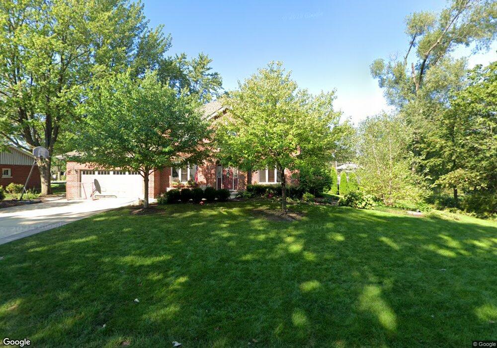
12622 S 75th Ave Palos Heights, IL 60463
Ishnala NeighborhoodEstimated Value: $430,000 - $683,000
4
Beds
3
Baths
2,352
Sq Ft
$215/Sq Ft
Est. Value
About This Home
This home is located at 12622 S 75th Ave, Palos Heights, IL 60463 and is currently estimated at $505,711, approximately $215 per square foot. 12622 S 75th Ave is a home located in Cook County with nearby schools including Palos East Elementary School, Palos South Middle School, and Amos Alonzo Stagg High School.
Ownership History
Date
Name
Owned For
Owner Type
Purchase Details
Closed on
Aug 30, 2007
Sold by
Montelongo John M and Montelongo Loretta V
Bought by
Sise Patrick J and Sise Kelly A
Current Estimated Value
Home Financials for this Owner
Home Financials are based on the most recent Mortgage that was taken out on this home.
Original Mortgage
$417,000
Outstanding Balance
$266,039
Interest Rate
6.72%
Mortgage Type
Unknown
Estimated Equity
$239,672
Purchase Details
Closed on
Jan 8, 1997
Sold by
Lysek Joanne L and Lysek Walter J
Bought by
Montelongo John M and Montelongo Loretta V
Home Financials for this Owner
Home Financials are based on the most recent Mortgage that was taken out on this home.
Original Mortgage
$122,400
Interest Rate
7.81%
Create a Home Valuation Report for This Property
The Home Valuation Report is an in-depth analysis detailing your home's value as well as a comparison with similar homes in the area
Home Values in the Area
Average Home Value in this Area
Purchase History
| Date | Buyer | Sale Price | Title Company |
|---|---|---|---|
| Sise Patrick J | $570,000 | Ticor Title Ins Co 2002 | |
| Montelongo John M | $153,000 | Intercounty Title |
Source: Public Records
Mortgage History
| Date | Status | Borrower | Loan Amount |
|---|---|---|---|
| Open | Sise Patrick J | $417,000 | |
| Previous Owner | Montelongo John M | $122,400 |
Source: Public Records
Tax History Compared to Growth
Tax History
| Year | Tax Paid | Tax Assessment Tax Assessment Total Assessment is a certain percentage of the fair market value that is determined by local assessors to be the total taxable value of land and additions on the property. | Land | Improvement |
|---|---|---|---|---|
| 2024 | $8,893 | $35,850 | $9,900 | $25,950 |
| 2023 | $12,063 | $35,850 | $9,900 | $25,950 |
| 2022 | $12,063 | $39,759 | $8,712 | $31,047 |
| 2021 | $5,710 | $21,669 | $8,712 | $12,957 |
| 2020 | $5,594 | $21,669 | $8,712 | $12,957 |
| 2019 | $6,547 | $25,901 | $7,920 | $17,981 |
| 2018 | $6,329 | $25,901 | $7,920 | $17,981 |
| 2017 | $6,043 | $25,901 | $7,920 | $17,981 |
| 2016 | $5,759 | $22,461 | $6,732 | $15,729 |
| 2015 | $5,618 | $22,461 | $6,732 | $15,729 |
| 2014 | $5,514 | $22,461 | $6,732 | $15,729 |
| 2013 | $5,734 | $24,819 | $6,732 | $18,087 |
Source: Public Records
Map
Nearby Homes
- 12626 S London Ln Unit 2
- 7660 W 124th Place
- 12332 S Richard Ave
- 7309 W Palos Ave
- 12815 S Seneca Rd
- 12900 S Seneca Rd
- 12501 S 71st Ct
- 7900 W 127th St
- 12713 S 80th Ave
- 12422 S 70th Ct
- 12646 S 69th Ct
- 13154 N Country Club Ct Unit 2B
- 7737 W Golf Dr Unit 101
- 7737 W Golf Dr Unit 201
- 13064 S 71st Ave
- 6839 W 127th St
- 6840 W Evergreen Ave
- 7711 W Oak Ridge Ct Unit 2A
- 12022 S 72nd Ct
- 13253 S Oak Ridge Trail Unit 2B
- 12614 S 75th Ave
- 12632 S 75th Ave
- 12623 S Harold Ave
- 12613 S Harold Ave
- 12633 S Harold Ave
- 12623 S 75th Ave
- 12619 S 75th Ave
- 12633 S 75th Ave
- 12650 S 75th Ave
- 12600 S 75th Ave
- 12643 S Harold Ave
- 12601 S Harold Ave
- 12657 S 75th Ave
- 12601 S 75th Ave
- 12622 S Richard Ave
- 12622 S Harold Ave
- 12612 S Richard Ave
- 12626 S Richard Ave
- 12612 S Harold Ave
- 12632 S Harold Ave