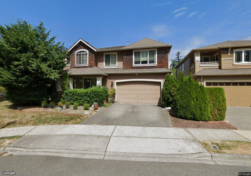
12623 Eagles Nest Dr Mukilteo, WA 98275
Harbour Pointe NeighborhoodEstimated Value: $1,234,418 - $1,345,000
4
Beds
3
Baths
3,258
Sq Ft
$394/Sq Ft
Est. Value
About This Home
This home is located at 12623 Eagles Nest Dr, Mukilteo, WA 98275 and is currently estimated at $1,282,605, approximately $393 per square foot. 12623 Eagles Nest Dr is a home located in Snohomish County with nearby schools including Endeavour Elementary School, Harbour Pointe Middle School, and Kamiak High School.
Ownership History
Date
Name
Owned For
Owner Type
Purchase Details
Closed on
Nov 2, 2006
Sold by
Windsor Premier Homes Inc
Bought by
Cho Sean U and Cho Do Kyoung
Current Estimated Value
Home Financials for this Owner
Home Financials are based on the most recent Mortgage that was taken out on this home.
Original Mortgage
$575,900
Outstanding Balance
$342,370
Interest Rate
6.3%
Mortgage Type
New Conventional
Estimated Equity
$940,235
Create a Home Valuation Report for This Property
The Home Valuation Report is an in-depth analysis detailing your home's value as well as a comparison with similar homes in the area
Home Values in the Area
Average Home Value in this Area
Purchase History
| Date | Buyer | Sale Price | Title Company |
|---|---|---|---|
| Cho Sean U | $719,990 | First American |
Source: Public Records
Mortgage History
| Date | Status | Borrower | Loan Amount |
|---|---|---|---|
| Open | Cho Sean U | $575,900 |
Source: Public Records
Tax History Compared to Growth
Tax History
| Year | Tax Paid | Tax Assessment Tax Assessment Total Assessment is a certain percentage of the fair market value that is determined by local assessors to be the total taxable value of land and additions on the property. | Land | Improvement |
|---|---|---|---|---|
| 2025 | $7,116 | $1,037,700 | $488,000 | $549,700 |
| 2024 | $7,116 | $981,500 | $458,000 | $523,500 |
| 2023 | $7,256 | $1,033,200 | $431,000 | $602,200 |
| 2022 | $6,540 | $799,200 | $288,000 | $511,200 |
| 2020 | $5,869 | $721,700 | $261,000 | $460,700 |
| 2019 | $5,431 | $683,200 | $227,000 | $456,200 |
| 2018 | $6,175 | $673,900 | $219,000 | $454,900 |
| 2017 | $5,490 | $622,800 | $195,000 | $427,800 |
| 2016 | $5,165 | $582,800 | $173,000 | $409,800 |
| 2015 | $5,510 | $559,000 | $160,000 | $399,000 |
| 2013 | $5,001 | $474,200 | $151,000 | $323,200 |
Source: Public Records
Map
Nearby Homes
- 4818 Pointes Dr
- 13303 48th Place W
- 12058 Concord Way
- 13322 47th Place W
- 12303 Harbour Pointe Blvd Unit W101
- 13318 Beverly Park Rd
- 3910 132nd St SW Unit B
- 3910 132nd St SW Unit A
- 11702 Wilmington Way
- 5119 136th St SW
- 13327 Beverly Park Rd
- 4105 Lincoln Way
- 12900 Beverly Park Rd
- 13623 40th Ave W
- 12807 60th Ave W
- 4726 Picnic Point Rd
- 11521 Pine Ct Unit 4
- 14019 52nd Ave W Unit B
- 5400 Harbour Pointe Blvd Unit F 201
- 5500 Harbour Pointe Blvd Unit B202
- 12639 Eagles Nest Dr
- 12617 Eagles Nest Dr
- 12647 Eagles Nest Dr
- 4325 Sandpiper Ct
- 12618 Eagles Nest Dr
- 12611 Eagles Nest Dr
- 12624 Eagles Nest Dr
- 12648 Eagles Nest Dr
- 12642 Eagles Nest Dr
- 4319 Sandpiper Ct
- 12612 Eagles Nest Dr
- 12636 Eagles Nest Dr
- 12655 Eagles Nest Dr
- 12603 Eagles Nest Dr
- 12606 Eagles Nest Dr
- 12660 Eagles Nest Dr
- 12663 Eagles Nest Dr
- 12588 Hummingbird St
- 12630 Eagles Nest Dr