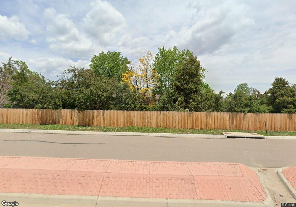
12625 Dillon Rd Broomfield, CO 80020
North Broomfield NeighborhoodEstimated Value: $726,000 - $933,000
3
Beds
2
Baths
1,602
Sq Ft
$507/Sq Ft
Est. Value
About This Home
This home is located at 12625 Dillon Rd, Broomfield, CO 80020 and is currently estimated at $812,170, approximately $506 per square foot. 12625 Dillon Rd is a home located in Boulder County with nearby schools including Aspen Creek K-8 School, Broomfield High School, and Holy Family High School.
Ownership History
Date
Name
Owned For
Owner Type
Purchase Details
Closed on
Mar 16, 2006
Sold by
Spencer Sharon Jo
Bought by
Spencer Sharon Jo
Current Estimated Value
Purchase Details
Closed on
Apr 11, 1985
Bought by
Spencer Sharon Jo and Spencer John Thomas
Purchase Details
Closed on
Mar 19, 1985
Bought by
Spencer Sharon Jo and Spencer John Thomas
Purchase Details
Closed on
Mar 20, 1967
Bought by
Spencer Sharon Jo and Spencer John Thomas
Create a Home Valuation Report for This Property
The Home Valuation Report is an in-depth analysis detailing your home's value as well as a comparison with similar homes in the area
Home Values in the Area
Average Home Value in this Area
Purchase History
| Date | Buyer | Sale Price | Title Company |
|---|---|---|---|
| Spencer Sharon Jo | -- | None Available | |
| Spencer Sharon Jo | $30,000 | -- | |
| Spencer Sharon Jo | $30,000 | -- | |
| Spencer Sharon Jo | -- | -- |
Source: Public Records
Tax History Compared to Growth
Tax History
| Year | Tax Paid | Tax Assessment Tax Assessment Total Assessment is a certain percentage of the fair market value that is determined by local assessors to be the total taxable value of land and additions on the property. | Land | Improvement |
|---|---|---|---|---|
| 2025 | $3,375 | $41,538 | $16,619 | $24,919 |
| 2024 | $3,375 | $41,538 | $16,619 | $24,919 |
| 2023 | $3,314 | $45,372 | $11,444 | $37,614 |
| 2022 | $2,790 | $37,101 | $10,814 | $26,287 |
| 2021 | $2,756 | $38,168 | $11,125 | $27,043 |
| 2020 | $2,220 | $31,760 | $12,298 | $19,462 |
| 2019 | $2,181 | $31,760 | $12,298 | $19,462 |
| 2018 | $1,884 | $28,159 | $9,936 | $18,223 |
| 2017 | $1,827 | $31,132 | $10,985 | $20,147 |
| 2016 | $1,628 | $26,029 | $10,348 | $15,681 |
| 2015 | $1,543 | $21,548 | $7,562 | $13,986 |
| 2014 | $1,149 | $21,548 | $7,562 | $13,986 |
Source: Public Records
Map
Nearby Homes
- 14464 Fenton St
- 14534 Fenton St
- 14278 Currant St
- 5107 Pasadena Way
- 5151 Spyglass Dr
- 5605 W 141st Ln
- 5626 W 142nd Ave
- 5630 W 142nd Ave
- 5621 W 141st Ln
- 14279 Currant St
- 5632 W 142nd Ave
- 5625 W 141st Ln
- 14283 Currant St
- Varra Plan at Dillon Pointe - Dillon Pointe - Journey
- Mckay Plan at Dillon Pointe - Dillon Pointe - Journey
- Quail Plan at Dillon Pointe - Dillon Pointe - Journey
- Carolyn Plan at Dillon Pointe - Dillon Pointe - Journey
- Ruth Plan at Dillon Pointe - Dillon Pointe - Journey
- Ellie Plan at Dillon Pointe - Dillon Pointe - Journey
- 14245 Craftsman Way Unit 14245
- 14561 Benton St
- 12583 Dillon Rd
- 12646 Dillon Rd
- 12563 Dillon Rd
- 14490 Benton St
- 14597 Benton St
- 14562 Benton St
- 12618 Polo Place
- 12652 Polo Place
- 12543 Dillon Rd
- 12582 Polo Place
- 14578 Benton St
- 12552 Polo Place
- 12617 Polo Place
- 12651 Polo Place
- 12730 Polo Place
- 14609 Benton St
- 0 Benton St
- 12581 Polo Place
- 14504 Fenton St
