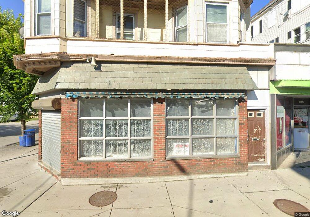
1263 Acushnet Ave Unit 1269 New Bedford, MA 02746
Riverside Park NeighborhoodEstimated Value: $715,922
12
Beds
8
Baths
7,206
Sq Ft
$99/Sq Ft
Est. Value
About This Home
This home is located at 1263 Acushnet Ave Unit 1269, New Bedford, MA 02746 and is currently estimated at $715,922, approximately $99 per square foot. 1263 Acushnet Ave Unit 1269 is a home located in Bristol County with nearby schools including Hayden McFadden Elementary School, Keith Middle School, and New Bedford High School.
Ownership History
Date
Name
Owned For
Owner Type
Purchase Details
Closed on
Apr 14, 2023
Sold by
Oliveira Antonio P and Oliveira Mario J
Bought by
Afonso John
Current Estimated Value
Home Financials for this Owner
Home Financials are based on the most recent Mortgage that was taken out on this home.
Original Mortgage
$476,000
Outstanding Balance
$462,891
Interest Rate
6.65%
Mortgage Type
Purchase Money Mortgage
Estimated Equity
$253,031
Create a Home Valuation Report for This Property
The Home Valuation Report is an in-depth analysis detailing your home's value as well as a comparison with similar homes in the area
Home Values in the Area
Average Home Value in this Area
Purchase History
| Date | Buyer | Sale Price | Title Company |
|---|---|---|---|
| Afonso John | $595,000 | None Available | |
| Afonso John | $595,000 | None Available |
Source: Public Records
Mortgage History
| Date | Status | Borrower | Loan Amount |
|---|---|---|---|
| Open | Afonso John | $476,000 | |
| Closed | Afonso John | $476,000 |
Source: Public Records
Tax History Compared to Growth
Tax History
| Year | Tax Paid | Tax Assessment Tax Assessment Total Assessment is a certain percentage of the fair market value that is determined by local assessors to be the total taxable value of land and additions on the property. | Land | Improvement |
|---|---|---|---|---|
| 2025 | -- | $591,800 | $150,000 | $441,800 |
| 2024 | -- | $574,500 | $92,000 | $482,500 |
| 2023 | $0 | $407,900 | $76,700 | $331,200 |
| 2022 | $0 | $339,000 | $73,000 | $266,000 |
| 2021 | $0 | $295,300 | $69,400 | $225,900 |
| 2020 | $0 | $289,100 | $69,400 | $219,700 |
| 2019 | $0 | $296,400 | $69,400 | $227,000 |
| 2018 | $0 | $285,600 | $69,400 | $216,200 |
| 2017 | -- | $285,600 | $69,400 | $216,200 |
| 2016 | -- | $285,500 | $65,700 | $219,800 |
| 2015 | -- | $285,500 | $65,700 | $219,800 |
| 2014 | -- | $300,000 | $69,400 | $230,600 |
Source: Public Records
Map
Nearby Homes
- 239 Sawyer St
- 330 N Front St
- 284 Sawyer St
- 178 Ashley Blvd
- 98 Beetle St
- 193 Ashley Blvd
- 0 Coggeshall St
- 24 Cotter St
- 234 Phillips Ave
- 1566-1570 Acushnet Ave
- 34 Washburn St Unit 36
- 9 Clark St
- 301 Davis St
- 498-500 Coggeshall St
- 125 +135 Tinkham St
- 203-205 Tinkham St
- 128 Nash Rd
- 100 Peckham St
- 190 Weld St
- 20 Lafrance Ct
- 75 Holly St
- 1273 Acushnet Ave Unit 1279
- 79 Holly St Unit 81
- 1283-1289 Acushnet Ave
- 1283 Acushnet Ave Unit 1289
- 1270 Acushnet Ave
- 1262 Acushnet Ave Unit 1264
- 1280 Acushnet Ave
- 78 Tallman St
- 1293 Acushnet Ave Unit 1295
- 91 Holly St Unit 93
- 1290 Acushnet Ave Unit 1296
- 91-93 Holly St
- 57 Holly St
- 90 Tallman St
- 1228 Acushnet Ave
- 92 Holly St
- 1301-1307 Acushnet Ave
- 64 Tallman St
- 1301 Acushnet Ave