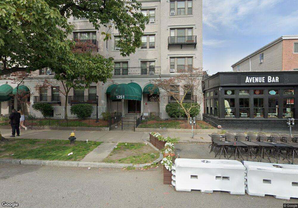
1263 Commonwealth Ave Unit 6 Allston, MA 02134
Commonwealth NeighborhoodEstimated Value: $522,000 - $573,000
1
Bed
1
Bath
968
Sq Ft
$560/Sq Ft
Est. Value
About This Home
This home is located at 1263 Commonwealth Ave Unit 6, Allston, MA 02134 and is currently estimated at $542,276, approximately $560 per square foot. 1263 Commonwealth Ave Unit 6 is a home located in Suffolk County with nearby schools including Match Charter Public School and Boston Green Academy Horace Mann Charter School.
Ownership History
Date
Name
Owned For
Owner Type
Purchase Details
Closed on
Oct 26, 1987
Sold by
Kuo Lawrence C
Bought by
Borhanian Houshmand
Current Estimated Value
Create a Home Valuation Report for This Property
The Home Valuation Report is an in-depth analysis detailing your home's value as well as a comparison with similar homes in the area
Home Values in the Area
Average Home Value in this Area
Purchase History
| Date | Buyer | Sale Price | Title Company |
|---|---|---|---|
| Borhanian Houshmand | $151,500 | -- |
Source: Public Records
Mortgage History
| Date | Status | Borrower | Loan Amount |
|---|---|---|---|
| Open | Borhanian Houshmand | $177,000 | |
| Closed | Borhanian Houshmand | $74,000 | |
| Closed | Borhanian Houshmand | $80,000 | |
| Closed | Borhanian Houshmand | $450,000 |
Source: Public Records
Tax History Compared to Growth
Tax History
| Year | Tax Paid | Tax Assessment Tax Assessment Total Assessment is a certain percentage of the fair market value that is determined by local assessors to be the total taxable value of land and additions on the property. | Land | Improvement |
|---|---|---|---|---|
| 2025 | $5,007 | $432,400 | $0 | $432,400 |
| 2024 | $4,291 | $393,700 | $0 | $393,700 |
| 2023 | $4,228 | $393,700 | $0 | $393,700 |
| 2022 | $4,041 | $371,400 | $0 | $371,400 |
| 2021 | $3,912 | $366,600 | $0 | $366,600 |
| 2020 | $4,085 | $386,800 | $0 | $386,800 |
| 2019 | $3,998 | $379,300 | $0 | $379,300 |
| 2018 | $3,716 | $354,600 | $0 | $354,600 |
| 2017 | $3,477 | $328,300 | $0 | $328,300 |
| 2016 | $3,313 | $301,200 | $0 | $301,200 |
| 2015 | $3,919 | $323,600 | $0 | $323,600 |
| 2014 | $3,699 | $294,000 | $0 | $294,000 |
Source: Public Records
Map
Nearby Homes
- 30 Glenville Ave Unit 1
- 5 Spofford Rd Unit 17
- 21 Park Vale Ave Unit 2
- 14 Radcliffe Rd Unit 1
- 53 Quint Ave
- 83 Glenville Ave
- 5 Fiske Terrace
- 1304 Commonwealth Ave Unit 5
- 20 Radcliffe Rd Unit 209
- 20 Radcliffe Rd Unit 112
- 86 Glenville Ave Unit 2
- 28 Verndale St
- 178 Brighton Ave Unit 12
- 85 Brainerd Rd Unit TH7
- 130 Glenville Ave
- 57 Brighton Ave Unit C
- 57 Brighton Ave Unit B
- 57 Brighton Ave Unit A
- 59 Brighton Ave Unit 1
- 116 Thorndike St
- 1263 Commonwealth Ave Unit Parking
- 1263 Commonwealth Ave Unit 5
- 1263 Commonwealth Ave Unit 8
- 1263 Commonwealth Ave Unit 7
- 1263 Commonwealth Ave Unit 2
- 1263 Commonwealth Ave Unit 4
- 1263 Commonwealth Ave Unit 3
- 1263 Commonwealth Ave Unit 1
- 1263 Commonwealth Ave Unit 1263-5
- 1263 Commonwealth Ave
- 1263 Commonwealth Ave
- 1263 Commonwealt Unit 8
- 1263 Commonwealth Ave Unit 4A
- 1263 Commonwealth Ave Unit 2D
- 1263 Commonwealth Ave Unit 8 1263
- 1249 Commonwealth Ave
- 1249 Commonwealth Ave Unit 21
- 1251 Commonwealth Ave Unit 4
- 1251 Commonwealth Ave Unit 7
- 1251 Commonwealth Ave Unit 1