1263 Perkins Rd Winder, GA 30680
Estimated Value: $415,000 - $564,734
--
Bed
3
Baths
2,265
Sq Ft
$216/Sq Ft
Est. Value
About This Home
This home is located at 1263 Perkins Rd, Winder, GA 30680 and is currently estimated at $489,867, approximately $216 per square foot. 1263 Perkins Rd is a home located in Barrow County with nearby schools including Bethlehem Elementary School, Haymon-Morris Middle School, and Apalachee High School.
Ownership History
Date
Name
Owned For
Owner Type
Purchase Details
Closed on
Feb 23, 2024
Sold by
Perkins Peggy Ann
Bought by
Peggy Ann Perkins Revocable Living Trust and Perkins Peggy Ann Trust
Current Estimated Value
Create a Home Valuation Report for This Property
The Home Valuation Report is an in-depth analysis detailing your home's value as well as a comparison with similar homes in the area
Home Values in the Area
Average Home Value in this Area
Purchase History
| Date | Buyer | Sale Price | Title Company |
|---|---|---|---|
| Peggy Ann Perkins Revocable Living Trust | -- | -- | |
| Perkins Peggy Ann | -- | -- |
Source: Public Records
Tax History Compared to Growth
Tax History
| Year | Tax Paid | Tax Assessment Tax Assessment Total Assessment is a certain percentage of the fair market value that is determined by local assessors to be the total taxable value of land and additions on the property. | Land | Improvement |
|---|---|---|---|---|
| 2024 | $4,337 | $191,848 | $47,124 | $144,724 |
| 2023 | $3,905 | $191,848 | $47,124 | $144,724 |
| 2022 | $3,575 | $140,793 | $47,124 | $93,669 |
| 2021 | $3,289 | $123,852 | $37,699 | $86,153 |
| 2020 | $2,765 | $106,053 | $27,417 | $78,636 |
| 2019 | $2,820 | $106,053 | $27,417 | $78,636 |
| 2018 | $2,789 | $106,083 | $27,417 | $78,666 |
| 2017 | $2,815 | $96,673 | $27,417 | $69,256 |
| 2016 | $2,308 | $91,329 | $24,657 | $66,672 |
| 2015 | $2,343 | $92,065 | $24,657 | $67,408 |
| 2014 | $2,050 | $80,684 | $15,534 | $65,150 |
| 2013 | -- | $76,518 | $15,534 | $60,984 |
Source: Public Records
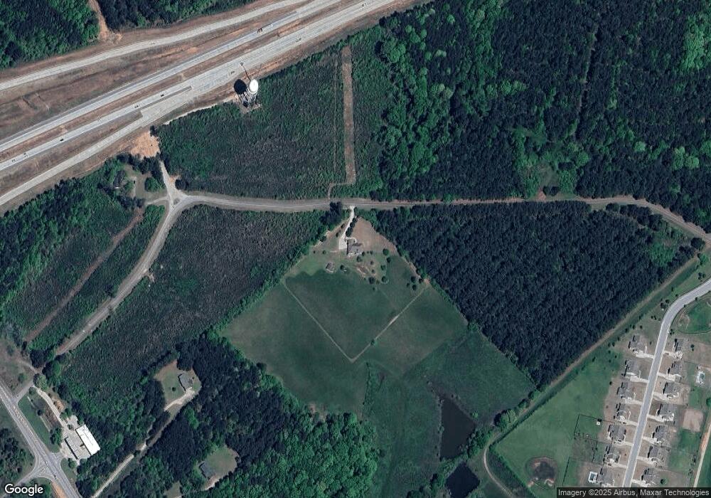
Map
Nearby Homes
- 112 Shallow Way
- 0 Austin Rd Unit 7532172
- 0 Austin Rd Unit 10468005
- 1412 Perkins Rd
- 890 Smith Mill Rd
- 0 Clacktown Rd Unit 7552100
- 0 Clacktown Rd Unit 10491325
- 868 Smith Mill Rd
- 856 Smith Mill Rd
- 84 Morningdale Cir
- 223 Westlyn Way
- 203 Westlyn Way
- 1155 Foster Rd
- 66 Westlyn Way
- 63 Westlyn Way
- The Landon II Plan at Westlyn
- The Baxley Plan at Westlyn
- 156 Westlyn Way
- 1224 Perkins Rd
- 1200 Hog Mountain Rd
- 1269 Hog Mountain Rd
- 1208 Hog Mountain Rd
- 155 Perkins Ct
- 173 Perkins Ct
- 139 Perkins Ct
- 139 Perkins Ct Unit 3
- 139 Perkins Ct
- 121 Perkins Ct
- 121 Perkins Ct
- 99 Perkins Ct
- 99 Perkins Ct
- 189 Perkins Ct
- 207 Perkins Ct
- 1194 Hog Mountain Rd
- 134 Shallow Way
- 134 Shallow Way Unit 15
- 568 Dunagan Ct Unit 17
- 147 Shallow Way Unit 13