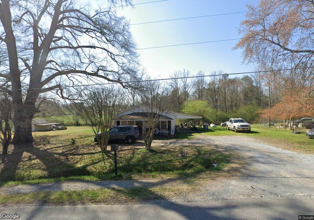
1263 Prior Station Rd Cedartown, GA 30125
Estimated Value: $123,955 - $211,000
2
Beds
1
Bath
1,092
Sq Ft
$147/Sq Ft
Est. Value
About This Home
This home is located at 1263 Prior Station Rd, Cedartown, GA 30125 and is currently estimated at $159,989, approximately $146 per square foot. 1263 Prior Station Rd is a home located in Polk County with nearby schools including Cedar Christian School.
Ownership History
Date
Name
Owned For
Owner Type
Purchase Details
Closed on
Aug 9, 2024
Sold by
Popham Charles Ray
Bought by
Popidoc5 Llc
Current Estimated Value
Purchase Details
Closed on
Nov 5, 1999
Sold by
Edge Joel I and Edge Russell
Bought by
Popham Ray Dr and Popham Gay G
Purchase Details
Closed on
Sep 23, 1993
Sold by
Edge Russell Executo
Bought by
Edge John Russell and Edge Joel I
Purchase Details
Closed on
Dec 26, 1975
Sold by
Watters Ronnie
Bought by
Edge Joel V
Purchase Details
Closed on
Aug 25, 1970
Sold by
Welchel Clara C
Bought by
Watters Ronnie
Purchase Details
Closed on
Jul 22, 1970
Sold by
Columbus Finance Co
Bought by
Welchel Clara C
Purchase Details
Closed on
Aug 15, 1969
Sold by
Mull Luther and Mull Martha
Bought by
Columbus Finance Co
Purchase Details
Closed on
Nov 15, 1968
Bought by
Mull Luther and Mull Martha
Create a Home Valuation Report for This Property
The Home Valuation Report is an in-depth analysis detailing your home's value as well as a comparison with similar homes in the area
Home Values in the Area
Average Home Value in this Area
Purchase History
| Date | Buyer | Sale Price | Title Company |
|---|---|---|---|
| Popidoc5 Llc | -- | -- | |
| Popham Ray Dr | $1,000 | -- | |
| Edge John Russell | -- | -- | |
| Edge Joel V | -- | -- | |
| Watters Ronnie | -- | -- | |
| Welchel Clara C | -- | -- | |
| Columbus Finance Co | -- | -- | |
| Mull Luther | -- | -- |
Source: Public Records
Tax History Compared to Growth
Tax History
| Year | Tax Paid | Tax Assessment Tax Assessment Total Assessment is a certain percentage of the fair market value that is determined by local assessors to be the total taxable value of land and additions on the property. | Land | Improvement |
|---|---|---|---|---|
| 2024 | $628 | $30,044 | $2,308 | $27,736 |
| 2023 | $467 | $19,676 | $2,308 | $17,368 |
| 2022 | $379 | $15,978 | $1,538 | $14,440 |
| 2021 | $384 | $15,978 | $1,538 | $14,440 |
| 2020 | $397 | $15,978 | $1,538 | $14,440 |
| 2019 | $340 | $12,667 | $1,538 | $11,129 |
| 2018 | $340 | $12,331 | $1,538 | $10,793 |
| 2017 | $336 | $12,331 | $1,538 | $10,793 |
| 2016 | $373 | $13,722 | $2,928 | $10,793 |
| 2015 | $378 | $13,866 | $2,928 | $10,937 |
| 2014 | $381 | $13,866 | $2,928 | $10,937 |
Source: Public Records
Map
Nearby Homes
- 119 New Harmony Rd
- 0 Mountain Home Rd Unit 1020-C 10351948
- 0 Mountain Home Rd Unit 1020-B 10351940
- 0 Mountain Home Rd Unit 1020-A 10351930
- 151 Friendship Rd
- 1849 Prior Station Rd Unit 76 ACRES
- 1849 Prior Station Rd
- 255 Reynolds Rd
- 35 Harris Loop
- 0 Cornelius Rd Unit 7646589
- 382 5th St
- 293 4th St
- 516 Branch St
- 512 Branch St
- 508 Branch St
- 1810 Piedmont Hwy
- 1806 Piedmont Hwy
- 39 Summerwind Dr
- 28 Summerwind Dr
- 1243 Prior Station Rd
- 1287 Prior Station Rd
- 1262 Prior Station Rd
- 1274 Prior Station Rd
- 1246 Prior Station Rd
- 1289 Prior Station Rd
- 1234 Prior Station Rd
- 1320 Prior Station Rd
- 1208 Prior Station Rd
- 1345 Prior Station Rd
- 1291 Prior Station Rd
- 62 Persons Rd
- 1343 Prior Station Rd
- 1347 Prior Station Rd
- 1198 Prior Station Rd
- 1342 Prior Station Rd
- 1349 Prior Station Rd
- 148 Persons Rd
- 1107 Prior Station Rd
- 1405 Prior Station Rd